Download
3D Flyover
Add to list
More
5.9 km
~2 hrs 19 min
684 m
Out and Back
“A fierce forest climb bursts onto airy ledges, rewarding steady effort with sweeping Vermont vistas.”
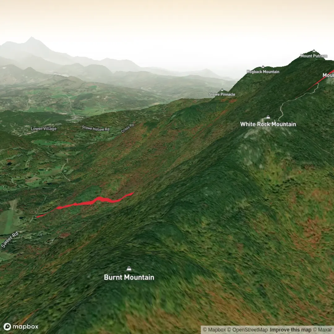
This is a short but very demanding out-and-back climb in Vermont’s Worcester Range, packing roughly 6 km / 3.7 miles and about 700 m / 2,300 ft of elevation gain into a steep ascent that feels much bigger than the mileage suggests. The route climbs from the Waterbury side through hardwood forest, steadily gaining height before breaking onto the open upper mountain, where ledges and alpine exposure create some of the best views in central Vermont. With its sharp grade, rough footing, and weather-exposed summit zone, this hike is best treated as a serious mountain outing rather than a casual half-day walk.
The trailhead is generally associated with the Waterbury Trail access near Waterbury Center, Vermont, on the east side of the Worcester Range. If you are driving, most hikers approach via local roads from Waterbury Center or Stowe, then continue to the signed trail access area. Parking arrangements can change, so it is wise to confirm the exact access point and current parking situation on HiiKER before setting out. By public transport, the area is more awkward: the nearest practical transit connections are usually in Waterbury, served by regional bus and rail links, but there is typically no frequent direct service to the trailhead itself, so the final stretch often requires a taxi, rideshare, or bike transfer.
The climb begins in northern hardwood forest, where the lower slopes are often shaded by maple, birch, and beech. Early on, the trail can feel deceptively manageable, but it soon steepens into a sustained uphill push. Over just 6 km / 3.7 miles round trip, the route gains around 700 m / 2,300 ft, which means the average grade is unrelentingly steep. Expect roots, rocks, muddy patches after rain, and sections where footing becomes awkward enough to demand careful placement of every step. In wet weather, the trail can be slick; in autumn, leaf cover can hide roots and stones; and in shoulder seasons, ice can linger high on the mountain long after lower elevations appear clear.
What the climb feels like
This route earns its Extra Difficult character from the combination of steepness, limited recovery terrain, and exposure near the top. There are few long easy sections, so hikers should be prepared for a continuous cardiovascular effort. On the ascent, pacing matters more than speed. Trekking poles can help on the lower and middle slopes, though hands may be useful on some of the steeper rocky sections. On the descent, tired legs often make the route feel even more technical, especially where loose dirt, wet roots, or slabby rock come into play.
The upper mountain is where the character changes most dramatically. As the forest thins, the trail reaches more open ledges and scrubby summit terrain. These exposed sections can be windy even on otherwise calm days in the valley. Temperatures at the top may feel significantly cooler than at the trailhead, and cloud can move in quickly enough to erase views and make route-finding more difficult. Because of that, carrying an extra insulating layer and checking conditions in advance is important even for a relatively short hike.
Landmarks, views, and natural features
Mount Hunger is especially valued for its summit outlooks. From the open ledges, hikers can typically expect broad views toward Camel’s Hump, Mount Mansfield, the Green Mountains, and the surrounding valleys near Waterbury and Stowe. The summit area is rocky and open enough to reward the climb with a real sense of elevation, despite the route’s modest total distance.
The Worcester Range has a wilder, rougher feel than some of Vermont’s more heavily traveled peaks. The forest below supports common northeastern wildlife including white-tailed deer, red squirrel, porcupine, and a variety of songbirds. Black bears also inhabit the region, though sightings are uncommon and usually brief. In warmer months, hikers may notice ferns, mossy rock, and mixed hardwood canopy lower down, transitioning to more wind-shaped vegetation and exposed stone higher up. During spring and after heavy rain, small drainages and wet sections can make the trail muddier than expected for such a short route.
Because the summit ledges are exposed, they also deserve respect in poor weather. Thunderstorms are a particular hazard here: once above treeline-like open rock, there is little shelter. If storms are forecast, this is not a mountain to linger on.
Navigation and preparation
Although the route is straightforward in concept—up to the summit and back the same way—it should not be underestimated. Steep mountain trails can become confusing where side paths, herd paths, or worn ledge routes appear near viewpoints. Carrying the route on HiiKER is the best way to stay oriented, especially if cloud, rain, or fatigue reduce attention on the descent.
For preparation, hikers should plan for: - sturdy footwear with reliable grip - at least 1.5 to 2 liters of water, more in hot weather - a windproof or insulating layer for the summit - snacks or a compact meal despite the short mileage - traction devices in late fall, winter, or early spring if ice is possible - extra caution after rain, when the trail can become slick and slow
A reasonable time estimate for many hikers is around 3 to 5 hours, depending on fitness, trail conditions, and how long is spent at the summit. Strong hikers may move faster, but the steep grade often slows even experienced people.
Historical significance of the area
Mount Hunger sits within the broader landscape of north-central Vermont, where the mountains, valleys, and waterways shaped both Indigenous travel and later colonial settlement. Long before modern hiking trails, this region formed part of the homeland and travel territory of the Abenaki,

Surfaces
Dirt
Unknown
Comments and Reviews
User comments, reviews and discussions about the Mount Hunger via Waterbury Trail, Vermont.
average rating out of 5
0 rating(s)