Download
3D Flyover
Add to list
More
9.9 km
~3 hrs 22 min
844 m
Loop
“A rugged climb through forest to Mansfield’s windswept ridge, where fragile alpine beauty rewards steady effort.”
This difficult out-and-back to Vermont’s highest summit packs a lot into roughly 10 km / 6.2 miles, climbing about 800 m / 2,625 ft. The route is best understood as an ascent from the Stowe side using the Haselton Trail to gain the upper mountain, then joining the Long Trail along Mount Mansfield’s famous ridge toward the Chin at 1,339 m / 4,393 ft, before returning the same way. Expect a sustained climb, rough footing, and a much bigger mountain feel than the mileage suggests.
The usual eastern access is near the Stowe Mountain Resort / Spruce Peak base area on Mountain Road (VT-108), Stowe, Vermont, where Haselton Trail begins near the ski area base facilities and the Long Trail access is a short distance farther north along the road corridor. Sources describing this route place the Haselton start at the gondola/base lodge area on the Stowe side of Mount Mansfield. (alltrails.com)
By car, the simplest approach is via VT-108/Mountain Road from Stowe to the Spruce Peak / Mansfield base area. Parking arrangements on the resort side can vary seasonally, and Stowe’s official visitor information notes resort transportation and parking guidance for the Mount Mansfield and Spruce Peak base areas, so it is worth checking current access details before setting out. Public transport is limited but better here than at many Vermont trailheads: Stowe’s official transportation information shows shuttle service along Mountain Road with stops including Stowe Town Hall, lodging on Mountain Road, Spruce Peak Base, and Mansfield Base, which can help hikers reach the start without a car if they are already staying in town. (stowe.com)
The climb begins relatively gently compared with Mansfield’s steeper western routes, but that should not be mistaken for easy going. Haselton works upward through lower forest and ski-area margins before entering more natural mountain terrain. Early on, the grade is manageable and gives you a chance to settle into the day, but the route steadily toughens as it gains height. On a hike of around 10 km / 6.2 miles total, many walkers will cover the first few kilometres quickly, then slow dramatically once the trail becomes rockier and more exposed.
Route character and what to expect
A useful way to break the climb down is:
- First 2 to 3 km / 1.2 to 1.9 miles: moderate climbing on a more straightforward tread, often damp after rain.
- Middle section around 3 to 4.5 km / 1.9 to 2.8 miles: steeper, rougher ground with roots, rocks, and short scrambly steps.
- Upper mountain and ridge: the pace slows again as the trail meets the Long Trail and the terrain turns more alpine, wind-exposed, and uneven.
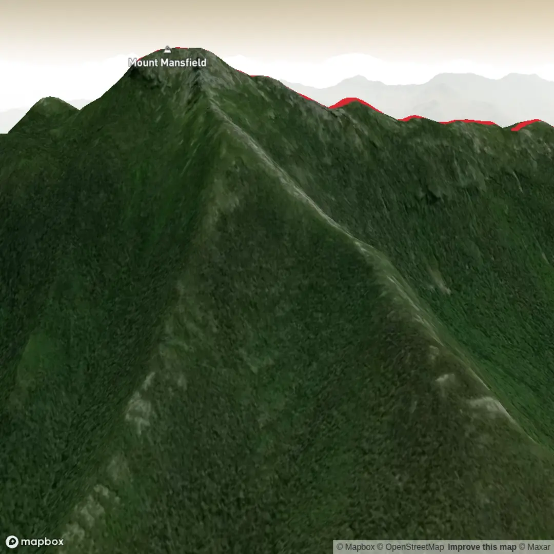
The upper part of the route is where Mansfield becomes memorable. The Long Trail traverses the summit ridge, and on this mountain the ridge is not just scenic but geologically and ecologically sensitive. Mount Mansfield is one of the few places in Vermont with true alpine tundra, and the summit area is protected as part of the Mount Mansfield Natural Area, designated a National Natural Landmark in 1980. That means hikers should be especially careful to stay on durable surfaces and avoid trampling fragile summit vegetation. (en.wikipedia.org)
As you near the crest, views begin to open toward Smugglers’ Notch, the Worcester Range, and on clear days far beyond Vermont. The ridgeline itself is what gives Mansfield its profile: features known as the Forehead, Nose, Lips, and Chin resemble a human face when seen from the east. On this route, hikers typically reach the ridge near the Nose and then continue along the Long Trail toward the Chin, the true high point. That ridge section is spectacular but demands attention. Expect slick rock in wet weather, uneven boulders, and strong wind even on otherwise calm days lower down.
Terrain, hazards, and planning notes
Although the distance is modest, this is a difficult mountain hike because of the combination of elevation gain, footing, and exposure. The main things to prepare for are:
- Wet rock and mud: Mansfield holds moisture well, and ledge can be slippery.
- Rapid weather changes: cloud, wind, and temperature can shift quickly on the ridge.
- Exposure above treeline: even short ridge sections can feel serious in poor weather.
- Slow travel times: 10 km / 6.2 miles here often takes longer than hikers expect.
- Seasonal closures and mud season concerns: parts of the Long Trail system in state-owned sections are subject to seasonal mud-season closures to protect trails and vegetation.

Surfaces
Dirt
Unknown
Wood
Asphalt
Comments and Reviews
User comments, reviews and discussions about the Mount Mansfield via Vermont Long Trail and Haselton Trail, Vermont.
average rating out of 5
0 rating(s)