
Download
3D Flyover
Add to list
More
3.8 km
~45 min
0 m
Loop
“A gentle wander through whispering woods and shimmering wetlands, rich with birdsong and reflective creek views.”
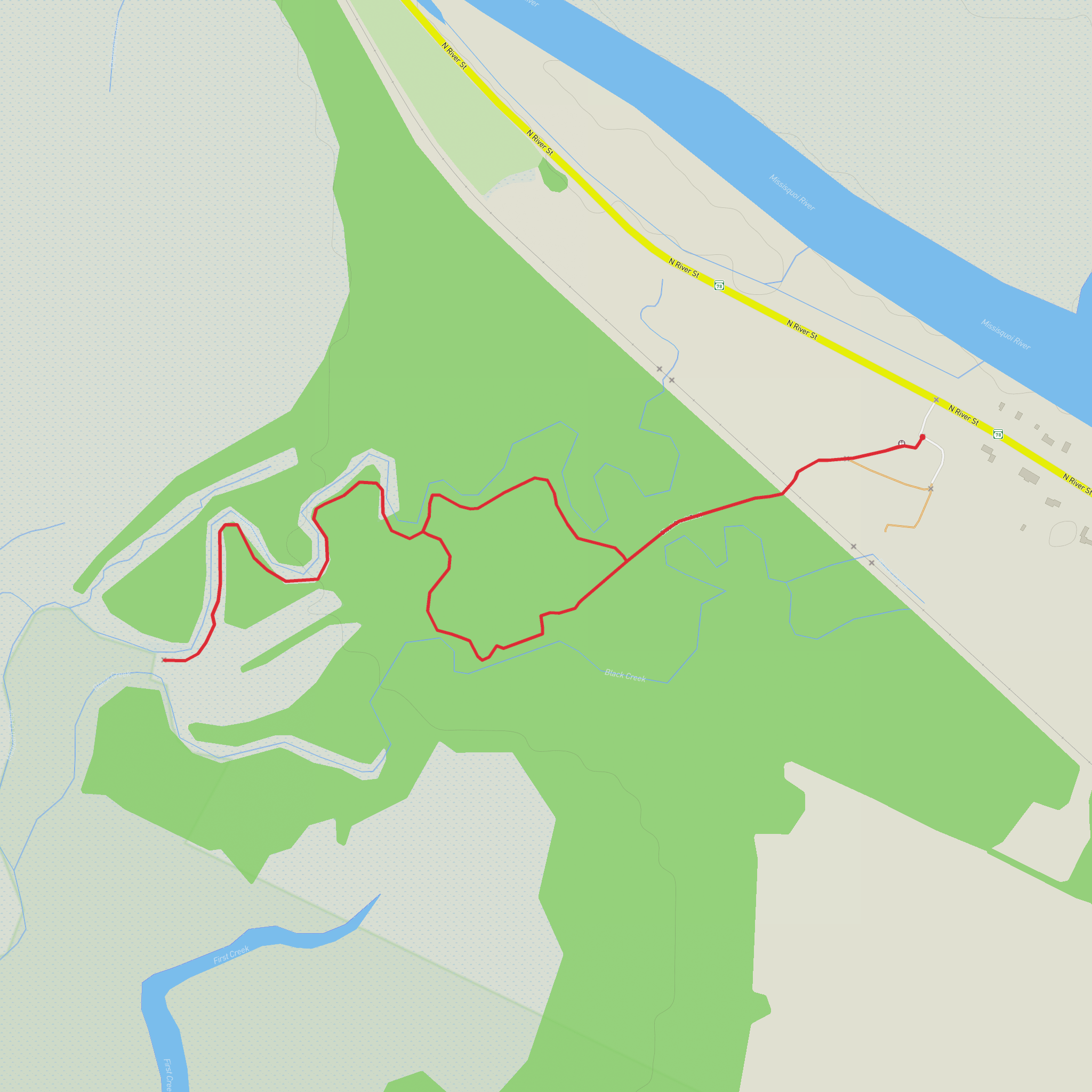
This easy walk at Missisquoi National Wildlife Refuge near Swanton, Vermont, is a gentle 4 km / 2.5 mile round trip with essentially no elevation gain, making it a good choice for families, casual walkers, birders, and anyone looking for a quiet wetland outing rather than a strenuous hike. The route follows a mix of mowed path, gravel, dirt, and raised boardwalk through lowland forest and marshy ground beside Black Creek and Maquam Creek, with the trail leading out toward Lookout Point and views over the riparian wetlands that drain toward Maquam Bay. Official refuge descriptions list the route at about 2.5 miles (4 km) round trip, while some trail listings describe the interconnected nature-trail network a bit shorter, so it is reasonable to plan for roughly 4 km / 2.5 miles overall. (fws.gov)
The trailhead is on Vermont Route 78 northwest of Swanton, at the Black Creek and Maquam Creek Nature Trails parking area near the Old Railroad Passage Trail parking area in Missisquoi National Wildlife Refuge. A practical landmark for planning is the refuge corridor along VT-78 about 2.2 miles / 3.5 km northwest of the bridge over the Missisquoi River in Swanton. The refuge headquarters address, 29 Tabor Road, Swanton, VT 05488, is useful for general orientation, but the Black Creek/Maquam Creek trailhead itself is reached from VT-78 rather than from the headquarters lot. (trailfinder.info)
By car, the simplest approach is from downtown Swanton: head northwest on VT-78 and continue for about 2.2 miles / 3.5 km after crossing the Missisquoi River bridge, where the parking area is on the left. Parking is typically straightforward and the walk begins with a crossing over railroad tracks before entering the woods. Public transport in this part of northwestern Vermont is limited, and there is no widely documented direct transit stop at the trailhead, so most hikers should expect to arrive by private vehicle, taxi, or rideshare arranged from Swanton or the St. Albans area. (trailfinder.info)
What the walk is like
Because the terrain is flat, the main challenge here is not climbing but footing and seasonal conditions. Expect a relaxed, meandering route through a wetland landscape where boardwalks help carry the trail across softer ground. The opening section is more open and grassy, then the path moves into shaded forest and creekside habitat. This is the kind of hike where progress is naturally slow because there is so much to stop and look at: water channels, marsh vegetation, birds moving through the trees, and the changing light over the wetlands. (weareoutgrown.org)
The route is generally considered easy, but hikers should still be prepared for uneven natural surfaces, occasional damp patches, and potentially slippery boardwalks after rain or during frost. Sturdy walking shoes are usually enough in dry conditions; waterproof footwear is a better choice in shoulder seasons. Since the trail is in a refuge landscape with exposed wetland edges, insects can be intense in warmer months, especially mosquitoes. Long sleeves, repellent, and a little extra patience are worth bringing. (trailfinder.info)
Landmarks, habitat, and wildlife
One of the most distinctive features of this hike is the transition through several habitat types in a short distance. Refuge and trail descriptions note fields that provide cover for small mammals and nesting birds, wooded lowlands where deer, beaver, squirrels, rabbits, and leopard frogs may be seen, and wetlands that support waterfowl, reptiles, amphibians, and woodcock. Along the creek edges, beaver and muskrat are among the signature animals to watch for, and birdlife is a major draw throughout the year. (trailfinder.info)
Lookout Point is the key destination on the walk
Comments and Reviews
User comments, reviews and discussions about the Black Creek Trail and Maquam Creek Trail, Vermont.
average rating out of 5
0 rating(s)
