Download
3D Flyover
Add to list
More
578 m
~10 min
39 m
Out and Back
“A brief, breathless scramble through forest and stone to a dazzling Adirondack perch.”
This short but surprisingly demanding climb is the well-known Owl’s Head in Keene, New York, in the Adirondack High Peaks region. Although the hike is only about 1 km / 0.6 miles round trip, it packs a steep, rocky ascent into a very small distance, which is why a “difficult” rating can make sense despite the modest mileage. Older route descriptions commonly place the climb at just over 0.5 miles one way with roughly 150 m / 500 ft of elevation gain, and the trail is best thought of as a quick summit push rather than a gentle walk. (daniellebedicsphotography.com)
The route is near Keene along New York Route 73, with the traditional access associated with Owls Head Lane off Route 73, roughly 12 miles / 19 km from Lake Placid. The nearest significant landmark is the Route 73 corridor between Keene and Lake Placid, beneath the dramatic cliffs and peaks of the eastern High Peaks. If you are planning around older guidebook descriptions, it is essential to know that access has been subject to private-land restrictions: the New York State Department of Environmental Conservation currently states that private landowners have again allowed hiking on Owls Head Trail during the week, but parking at the trailhead and hiking are prohibited on weekends. (lakeplacid.com)
Expect the hike to begin quickly, without much warm-up. The lower section rises through open forest on a well-used footpath, then steepens over rock and roots as it heads toward the summit ledges. Even though the total distance is short, the grade can feel abrupt, especially in wet weather when smooth Adirondack rock becomes slick. Hikers should be ready for a hands-on feel in places, careful foot placement, and a faster-than-expected heart-rate spike for such a short outing. (lakeplacid.com)
What the trail is like
This is the kind of hike where nearly every step is part of the climb. There is little meaningful elevation gain listed in your supplied details, but in practical terms hikers should prepare for a steep ascent of around 150 m / 500 ft over roughly 0.8 km / 0.5 miles one way. That makes sturdy footwear more important than the mileage suggests. Trekking poles can help on the descent, but on a route this short and rocky, many hikers prefer to keep their hands free and rely on careful balance. For navigation, HiiKER is the best tool to use for confirming the route, access point, and current trail context before setting out.
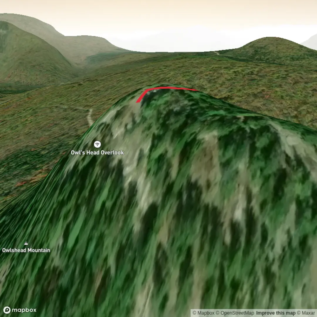
As you climb, intermittent openings begin to hint at the reward above. Near the top, the trail reaches open rock with expansive views that are the real reason this hike is so popular. The summit outlook is famous for its broad panorama over the surrounding High Peaks, with a strong sense of standing above the Route 73 valley and looking across one of the most dramatic mountain landscapes in the Adirondacks. Older local descriptions note several lookouts on the way up as well as a striking rock wall below the summit. (lakeplacid.com)
Landmarks, scenery, and wildlife
The scenery is classic eastern Adirondacks: mixed northern forest, exposed stone, and a summit ledge with sweeping mountain views. Depending on season and visibility, the surrounding landscape includes rugged High Peaks terrain, forested ridges, and the steep-sided topography that makes the Keene area such a major hiking hub. The open rock near the top can be hot and bright in summer, windy in shoulder seasons, and icy in colder months. (lakeplacid.com)
Wildlife is typical of the Adirondack uplands. Hikers may encounter songbirds, ravens, red squirrels, chipmunks, and signs of larger mammals such as white-tailed deer or black bear, though direct sightings are never guaranteed. In warmer months, insects can be intense, especially black flies and mosquitoes, so head nets and repellent may be worth carrying even on a short outing. Because the route is brief, many people underestimate how exposed they may feel at the summit if wind, cold, or thunderstorms move in quickly.
Planning and access
By car, the usual approach is from Lake Placid or Keene via Route 73, then toward the traditional access near Owls Head Lane. Because access depends on private land, it is especially important to verify current legality and parking rules before you go. As of the latest DEC backcountry update, weekday hiking is allowed again by agreement with the landowners, while weekend parking at the trailhead and hiking are prohibited. That restriction is one of the most important planning details for this hike. (dec.ny.gov

Surfaces
Dirt
Unknown
Comments and Reviews
User comments, reviews and discussions about the Owl's Head Trail, Vermont.
average rating out of 5
0 rating(s)