
Rattlesnake Point via Rattlesnake Cliff Trail and Aunt Jenny Trail
Download
3D Flyover
Add to list
More
7.5 km
~2 hrs 17 min
471 m
Loop
“A punchy escarpment loop of rocky climbs, shady forest, and dramatic cliff-edge views.”
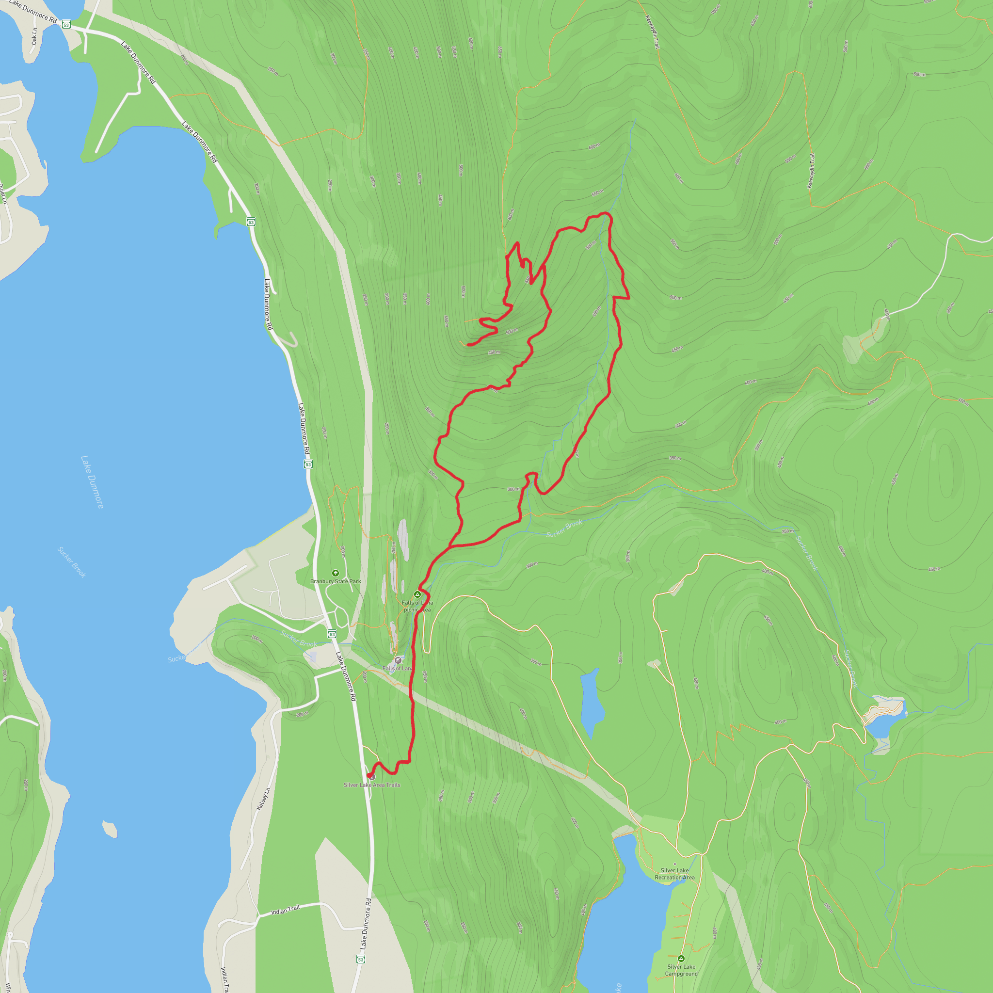
This difficult loop at Rattlesnake Point Conservation Area in Milton, Ontario packs a lot into roughly 8 km / 5 miles: steep escarpment-side walking, repeated short climbs, rocky and rooty footing, and a string of cliff-edge viewpoints over the Niagara Escarpment and the farmland below. The route uses the Rattlesnake Cliff Trail and Aunt Jenny Trail within the broader Rattlesnake Point trail network, and although the overall distance is moderate, the cumulative climbing of about 500 m / 1,640 ft makes it feel more demanding than the mileage suggests. Expect a hike that alternates between shaded forest, exposed limestone edge, and lookout spurs where the terrain can feel airy and dramatic.
The hike starts at Rattlesnake Point Conservation Area, 7200 Appleby Line, Milton, Ontario, the main access point for the park. That is the nearest clear address and the standard landmark for reaching the trail system. The conservation area sits on the Niagara Escarpment, a UNESCO World Biosphere Reserve landscape known for limestone cliffs, old cedar growth, and significant biodiversity. (destinationontario.com)
The opening section is usually the easiest underfoot, giving hikers a chance to settle in before the route steepens. Once the trail begins working toward the escarpment edge, the grade becomes more sustained and the footing rougher. On this kind of route, 1 to 2 km / 0.6 to 1.2 miles can pass quickly, but the climbing starts to accumulate early. Short rocky rises, uneven tread, and occasional narrow sections mean sturdy footwear is a better choice than casual trail shoes, especially after rain. Wet limestone, exposed roots, and leaf-covered rock can all be slippery here. Conservation Halton specifically warns that the escarpment cliffs can be hazardous and quite slippery when wet, and that winter snow and ice are not treated on the trails. (conservationhalton.ca)
Terrain and route character
The defining feature of this hike is the escarpment rim. As the route links the Rattlesnake Cliff Trail with Aunt Jenny Trail, hikers can expect a mix of forested singletrack and cliff-top walking with intermittent lookouts. The trail is not especially long, but it is the kind of hike where progress slows because of elevation changes, uneven footing, and frequent stops at viewpoints. A reasonable planning estimate is around 3 to 4.5 hours depending on pace, trail conditions, and how long you spend at the overlooks.
The elevation gain is spread across repeated ups and downs rather than one single climb. That makes the route feel punchy: you may descend into wooded sections, then climb back toward the escarpment edge again. On a difficult 8 km / 5 mile outing with about 500 m / 1,640 ft of ascent, hikers should be prepared for sustained effort on steeper pitches and for some sections where hands may come out briefly for balance on rockier steps.
Lookouts are the major landmarks. In the Rattlesnake Point network, named viewpoints include Buffalo Crag Lookout, Nassagaweya Canyon Lookout, Trafalgar Lookout, Nelson Lookout, and Pinnacle Lookout, and the broader area is known for panoramic views extending 50 km or more on clear days. Even if your exact line does not visit every named lookout, the route’s character is shaped by these cliff-edge vantage points and the dramatic limestone rim.
Surfaces
Unpaved
Unknown
Asphalt
Comments and Reviews
User comments, reviews and discussions about the Rattlesnake Point via Rattlesnake Cliff Trail and Aunt Jenny Trail, Vermont.
average rating out of 5
0 rating(s)
