Download
3D Flyover
Add to list
More
20.4 km
~7 hrs 3 min
1789 m
Out and Back
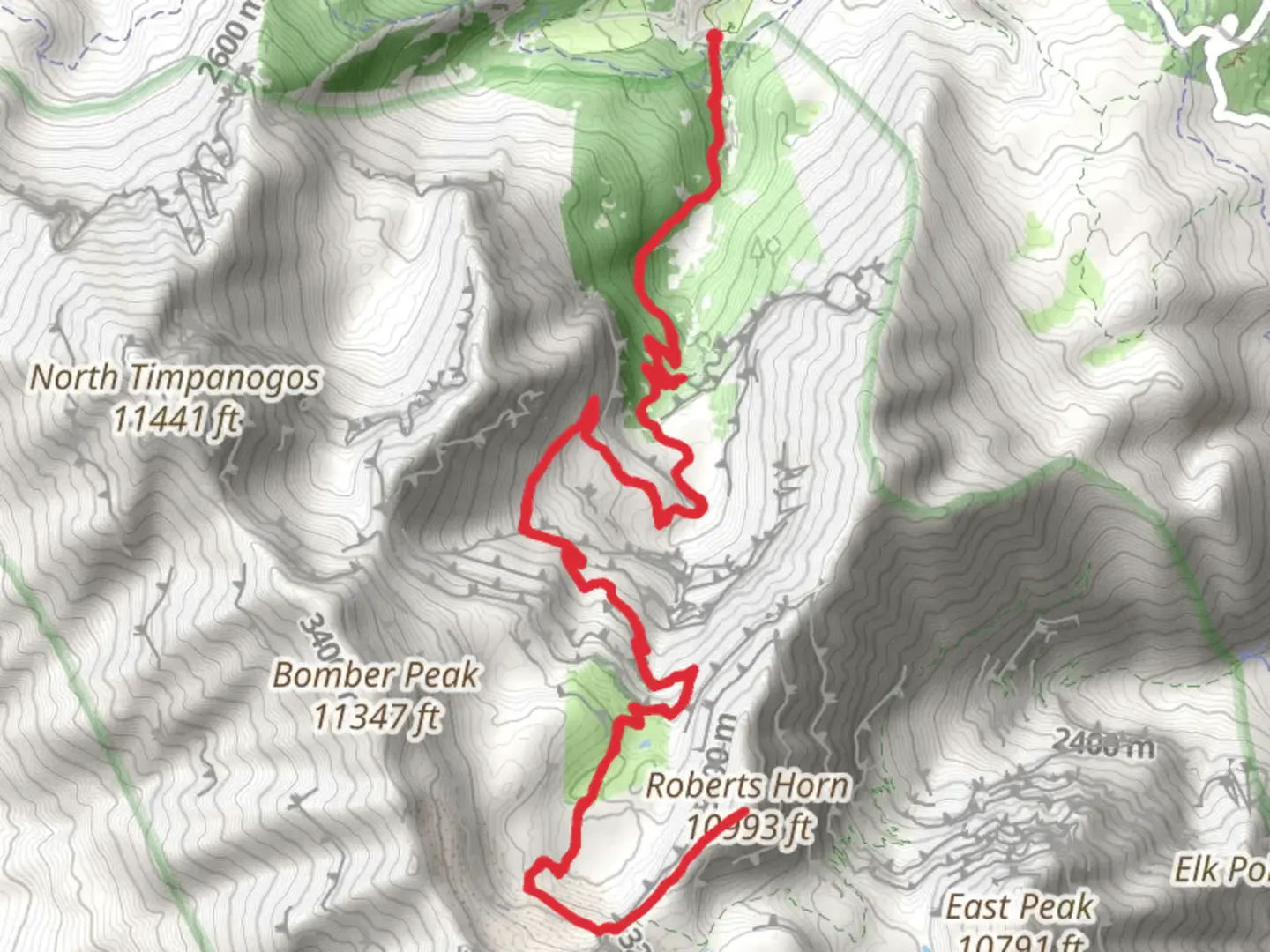
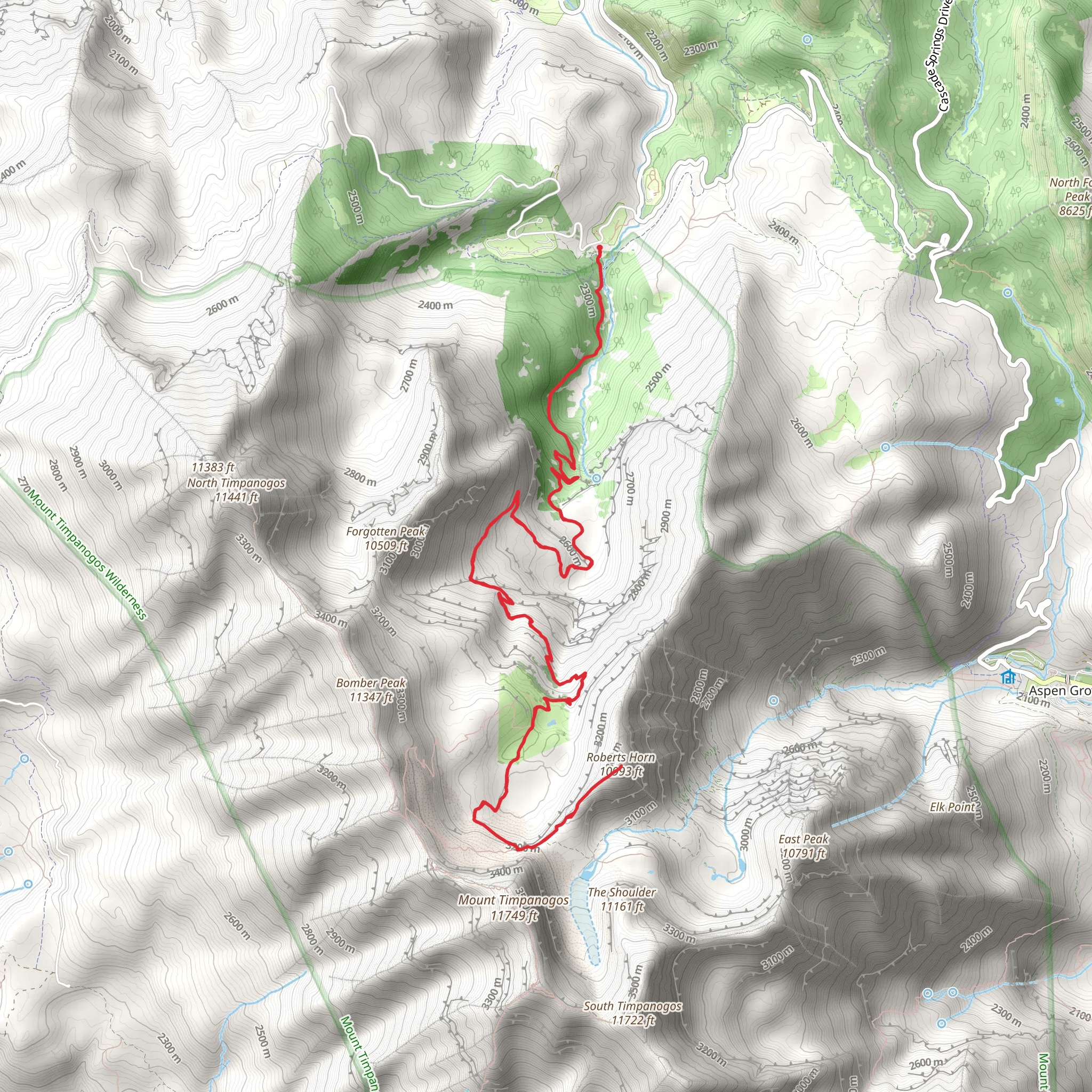
“Embark on a rewarding 20 km hike through lush forests, vibrant meadows, and rugged alpine terrain to Roberts Horn.”
Starting your adventure near Utah County, Utah, the trailhead for this hike is conveniently located at the Timpooneke Campground. If you're driving, you can reach the campground by taking the Alpine Loop Scenic Byway (UT-92) from either Provo Canyon or American Fork Canyon. For those relying on public transport, the nearest major city is Provo, where you can catch a bus or arrange a shuttle to the campground.
Trail Overview
The Roberts Horn via Timpooneke Trail is an out-and-back trail spanning approximately 20 km (12.4 miles) with an elevation gain of around 1700 meters (5,577 feet). This trail is rated as medium difficulty, making it suitable for hikers with a moderate level of experience and fitness.
Initial Ascent and Forested Sections
Starting from the Timpooneke Campground, the trail begins with a steady ascent through dense forests of aspen and pine. The first 3 km (1.9 miles) will take you through lush vegetation, offering a cool and shaded environment. As you gain elevation, keep an eye out for wildlife such as mule deer and various bird species that inhabit this area.
Meadow and Wildflower Viewing
Around the 5 km (3.1 miles) mark, the trail opens up into a beautiful alpine meadow. During the summer months, this area is blanketed with wildflowers, including lupines, Indian paintbrush, and columbines. The meadow provides a perfect spot for a short break and some photography.
Climbing Towards the Summit
As you continue, the trail becomes steeper and more rugged. The next 5 km (3.1 miles) will see a significant elevation gain, with rocky switchbacks leading you higher up the mountain. This section can be challenging, so make sure to pace yourself and stay hydrated. The views start to become more expansive, offering glimpses of the surrounding peaks and valleys.
Approaching Roberts Horn
At around 13 km (8 miles), you will reach a saddle that offers a panoramic view of the Wasatch Range. From here, the final push to Roberts Horn involves a steep and rocky ascent. This section requires careful footing, especially if there is any lingering snow or ice. The summit of Roberts Horn, at an elevation of approximately 3,353 meters (11,000 feet), rewards you with breathtaking 360-degree views.
Historical Significance
The area around the Timpooneke Trail has a rich history, with Native American tribes such as the Ute and Shoshone having inhabited the region for centuries. The name "Timpooneke" itself is derived from the Ute word for "rocky canyon." Additionally, the trail passes through areas that were once used by early settlers and miners in the 19th century.
Descent and Return
After soaking in the views from Roberts Horn, retrace your steps back to the trailhead. The descent can be tough on the knees, so trekking poles might be helpful. The return journey offers a different perspective on the landscape, with the changing light providing new photo opportunities.
Navigation and Safety
Given the trail's length and elevation gain, it's crucial to be well-prepared. Use the HiiKER app for accurate navigation and real-time trail updates. Weather in the mountains can change rapidly, so pack layers and be prepared for sudden changes in temperature.
This hike offers a mix of dense forests, open meadows, and rugged alpine terrain, making it a rewarding experience for those who are well-prepared.
What to expect?
Activity types
Comments and Reviews
User comments, reviews and discussions about the Roberts Horn via Timpooneke Trail, Utah.
4.5
average rating out of 5
12 rating(s)
