
Download
3D Flyover
Add to list
More
4.7 km
~1 hrs 8 min
120 m
Out and Back
“The Right Hand Fork trail offers a scenic, moderately challenging 5-kilometer hike through forests, creeks, and historic landmarks.”
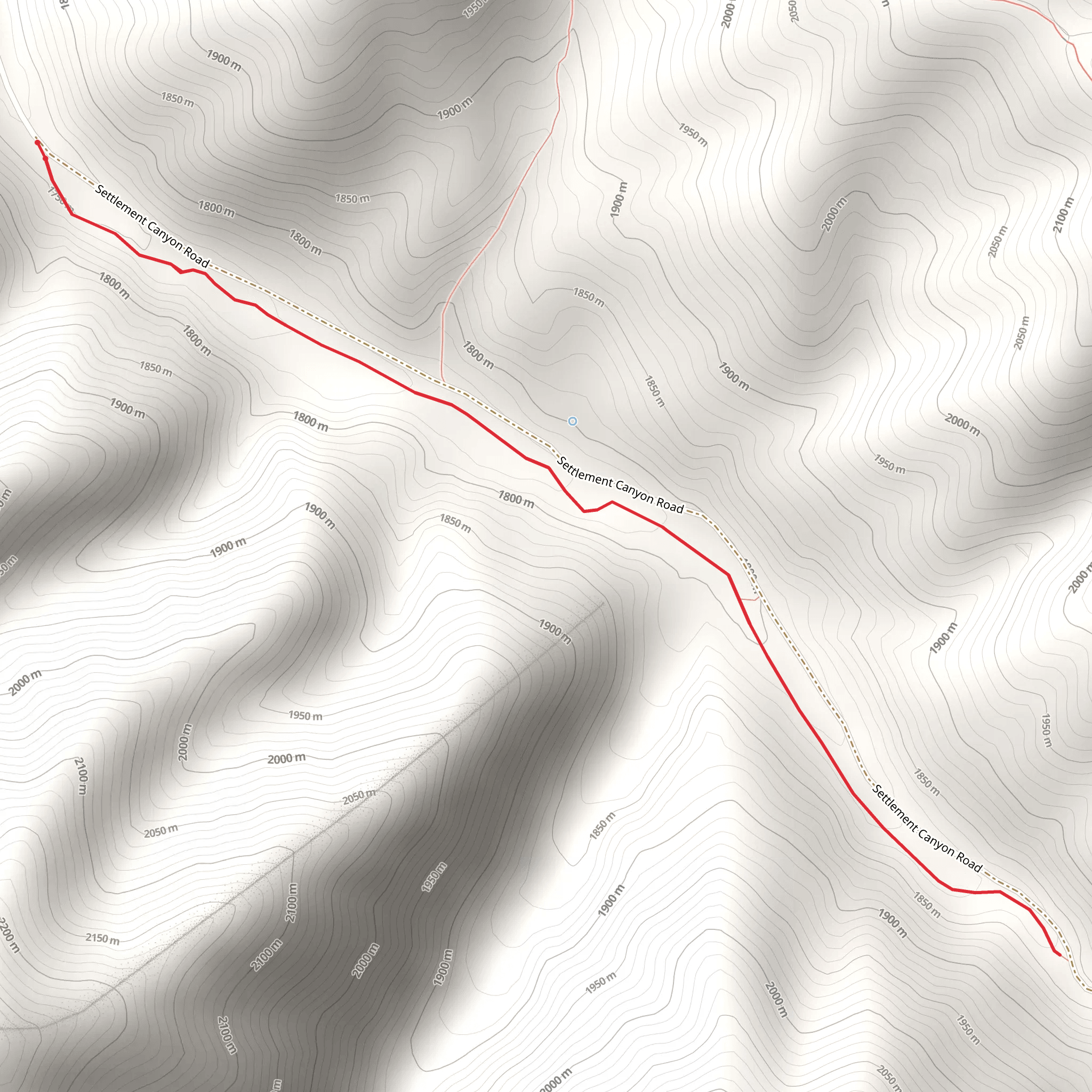
Starting near Tooele County, Utah, the Right Hand Fork trail offers a moderately challenging hike with a total distance of around 5 kilometers (approximately 3.1 miles) and an elevation gain of about 100 meters (328 feet). This out-and-back trail is perfect for those looking to experience the natural beauty of the region without committing to a strenuous trek.
Getting There
To reach the trailhead, you can drive or use public transportation. If you're driving, head towards Tooele County and look for the nearest known address or significant landmark, which is the Settlement Canyon Reservoir. From there, follow local signage to the trailhead. For those using public transport, the nearest bus stop is in Tooele City, from where you can take a taxi or rideshare service to the trailhead.
Trail Overview
The trail begins with a gentle ascent through a mixed forest of pines and aspens. The initial 1 kilometer (0.6 miles) is relatively easy, with a gradual elevation gain of about 20 meters (65 feet). This section is well-marked and offers a good warm-up for the more challenging parts ahead.
Significant Landmarks and Nature
As you progress, you'll come across a small creek around the 1.5-kilometer (0.9-mile) mark. This is a great spot to take a short break and enjoy the serene sound of flowing water. The trail then starts to climb more steeply, gaining another 50 meters (164 feet) in elevation over the next kilometer (0.6 miles). Keep an eye out for local wildlife such as deer, squirrels, and a variety of bird species.
Historical Significance
The area around Tooele County has a rich history, dating back to the early settlers and Native American tribes. The trail itself passes through lands that were once traversed by pioneers heading west. You might notice remnants of old cabins and mining equipment, particularly around the 3-kilometer (1.9-mile) mark. These serve as a reminder of the region's historical significance and the challenges faced by those who came before us.
Final Stretch
The last 1.5 kilometers (0.9 miles) of the trail are the most challenging, with an elevation gain of about 30 meters (98 feet). The path narrows and becomes rockier, requiring careful footing. However, the effort is well worth it as you reach the turnaround point, which offers stunning views of the surrounding valleys and mountains.
Navigation and Safety
For navigation, it's highly recommended to use the HiiKER app, which provides detailed maps and real-time updates. Make sure to carry enough water, wear appropriate hiking boots, and be prepared for sudden weather changes, as the region can be unpredictable.
The Right Hand Fork trail is a rewarding hike that combines natural beauty, wildlife, and a touch of history, making it a must-visit for anyone in the Tooele County area.
What to expect?
Activity types
Comments and Reviews
User comments, reviews and discussions about the Right Hand Fork, Utah.
4.5
average rating out of 5
16 rating(s)
