Download
3D Preview
Add to list
More
13.5 km
~3 hrs 30 min
482 m
Loop
“Explore the Uinta Highline Trail to Packard Lake for stunning views, moderate challenge, and rich history.”
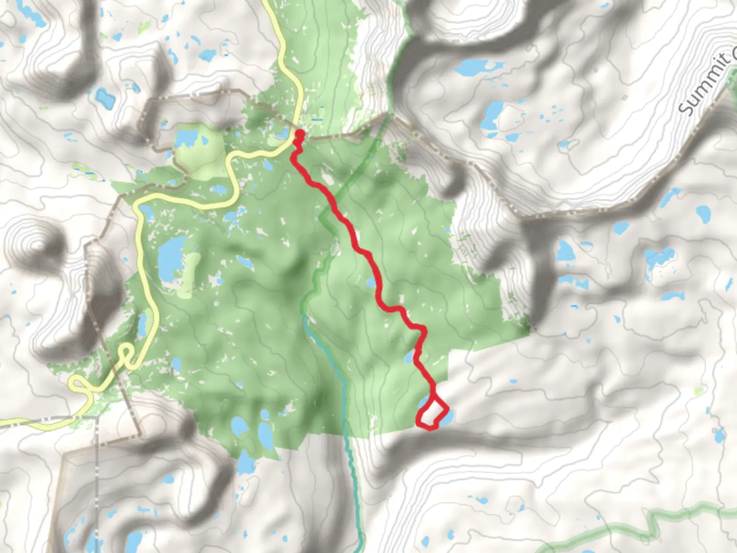
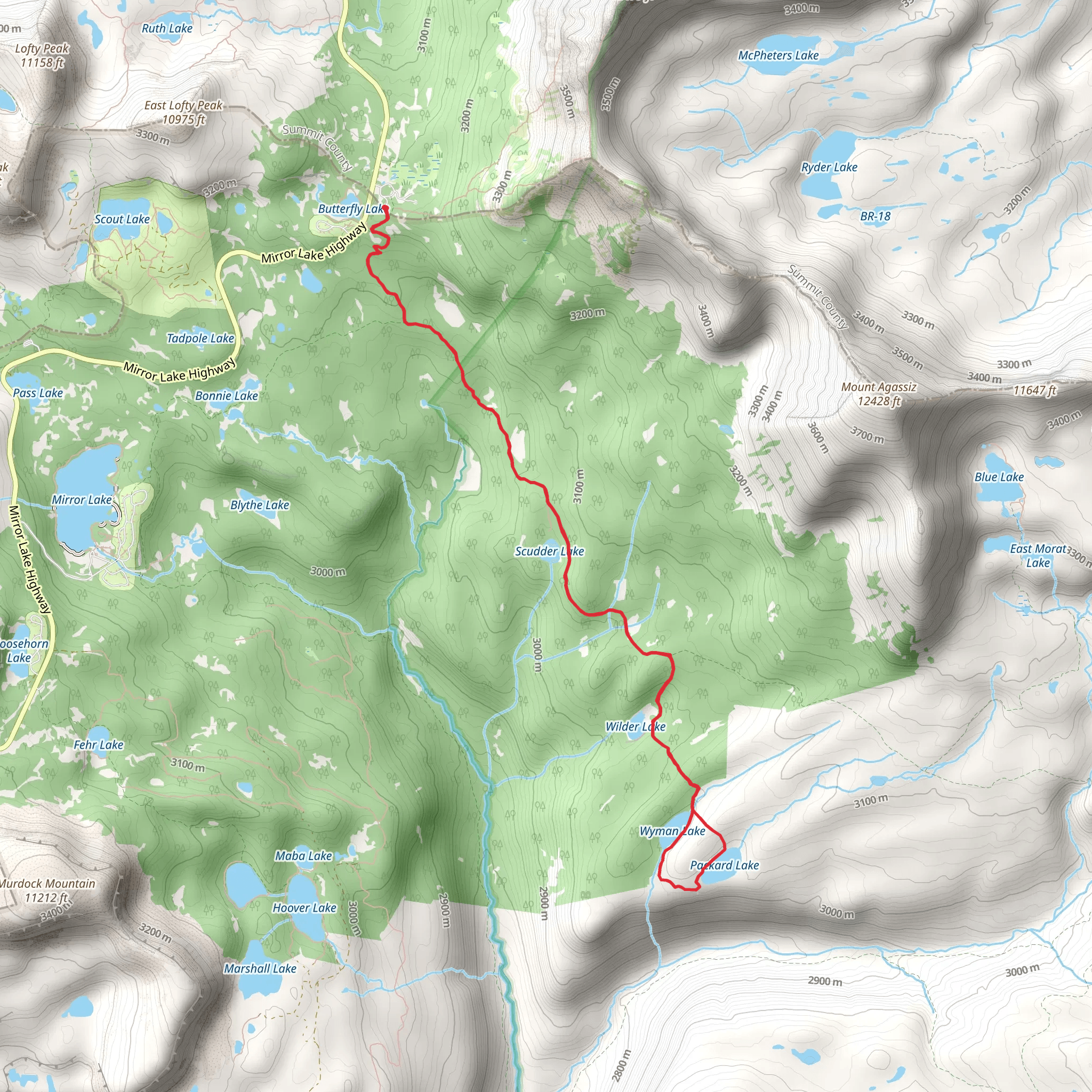
Starting near Summit County, Utah, the Uinta Highline Trail to Packard Lake Trail offers a captivating loop of around 13 km (8 miles) with an elevation gain of approximately 400 meters (1,312 feet). This medium-difficulty trail is perfect for hikers looking to experience the diverse beauty of the Uinta Mountains.
Getting There
To reach the trailhead, you can drive or use public transport. If driving, head towards Summit County, Utah, and look for parking near the Mirror Lake Highway (UT-150). The nearest significant landmark is the Highline Trailhead, located just off the highway. For those using public transport, the closest major city is Salt Lake City. From there, you can take a bus or shuttle service to Kamas, Utah, and then a taxi or rideshare to the trailhead.
Trail Overview
The trail begins at the Highline Trailhead, where you'll immediately be greeted by the dense forests of the Uinta Mountains. The first section of the trail is relatively flat, allowing you to ease into the hike. As you progress, you'll encounter a gradual ascent, gaining about 200 meters (656 feet) in the first 4 km (2.5 miles).
Significant Landmarks and Nature
Around the 4 km (2.5-mile) mark, you'll come across the picturesque Naturalist Basin. This area is known for its stunning alpine meadows and crystal-clear streams. Keep an eye out for local wildlife, including mule deer and various bird species. The basin is also home to several small lakes, perfect for a quick rest or photo opportunity.
Continuing on, the trail ascends another 200 meters (656 feet) over the next 3 km (1.9 miles), leading you to the high point of the hike. Here, you'll be rewarded with panoramic views of the surrounding peaks and valleys. This section can be a bit challenging due to the elevation gain, so take your time and enjoy the scenery.
Historical Significance
The Uinta Mountains are rich in history, with evidence of Native American habitation dating back thousands of years. The area was also explored by early trappers and settlers in the 19th century. As you hike, you'll notice remnants of old trails and campsites, offering a glimpse into the past.
Packard Lake
At approximately 10 km (6.2 miles), you'll reach Packard Lake, a serene alpine lake surrounded by towering pines and rugged cliffs. This is an excellent spot for a longer break, perhaps even a picnic. The lake is also a popular fishing spot, so bring your gear if you're interested.
Completing the Loop
From Packard Lake, the trail descends gradually over the final 3 km (1.9 miles) back to the trailhead. This section is less strenuous, allowing you to reflect on the hike and enjoy the remaining natural beauty. The descent offers a mix of forested areas and open meadows, providing a diverse end to your journey.
Navigation
For navigation, it's highly recommended to use HiiKER, which offers detailed maps and real-time updates. This will ensure you stay on track and can easily find points of interest along the way.
This trail offers a perfect blend of natural beauty, moderate challenge, and historical significance, making it a must-visit for any hiking enthusiast.
What to expect?
Activity types
Comments and Reviews
User comments, reviews and discussions about the Uinta Highline Trail to Packard Lake Trail, Utah.
4.6
average rating out of 5
25 rating(s)
