Download
3D Preview
Add to list
More
4.3 km
~1 hrs 32 min
412 m
Loop
“The Mount Van Cott Loop Trail offers a moderately challenging 4 km hike with stunning views of Salt Lake Valley.”
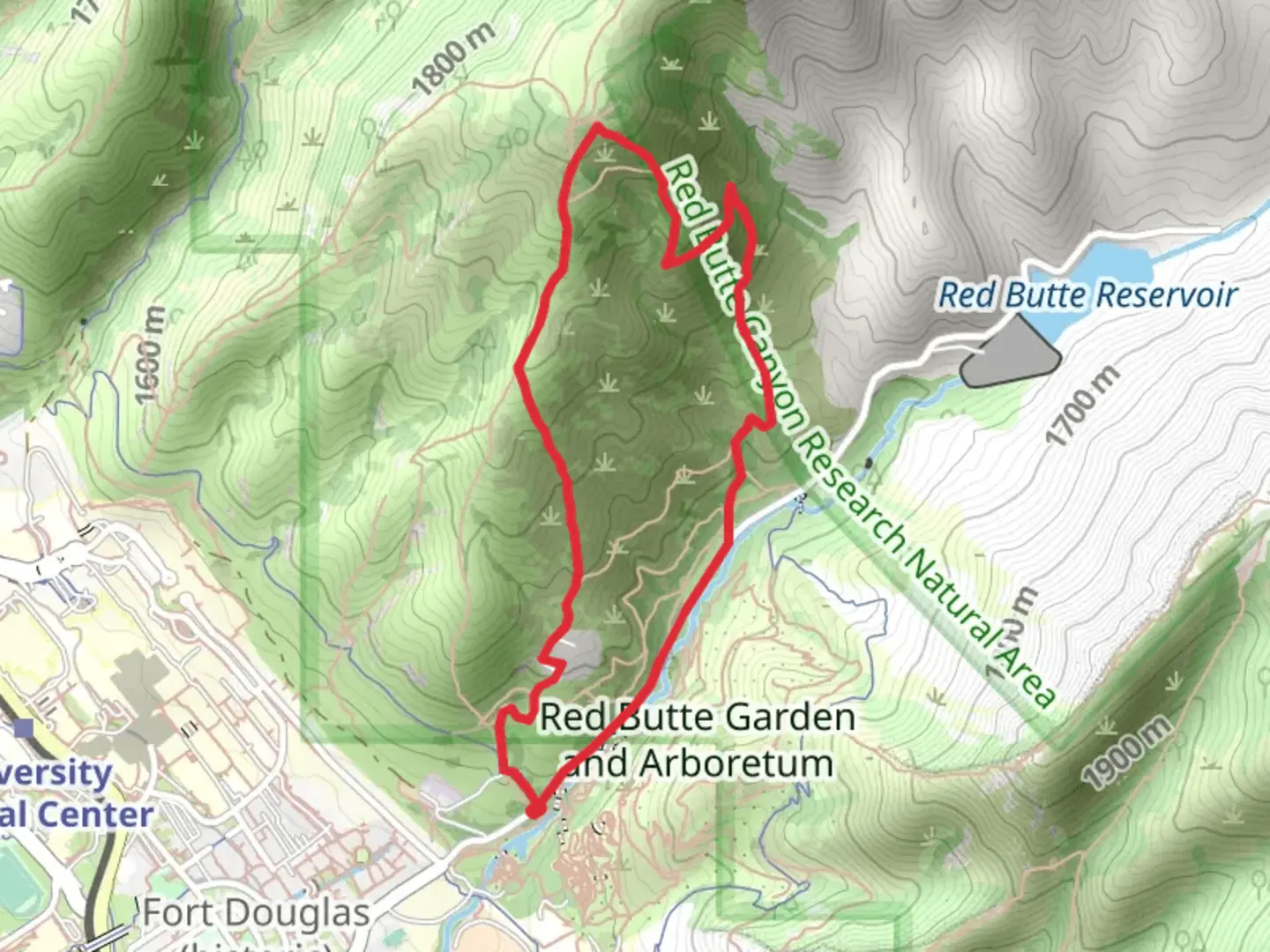
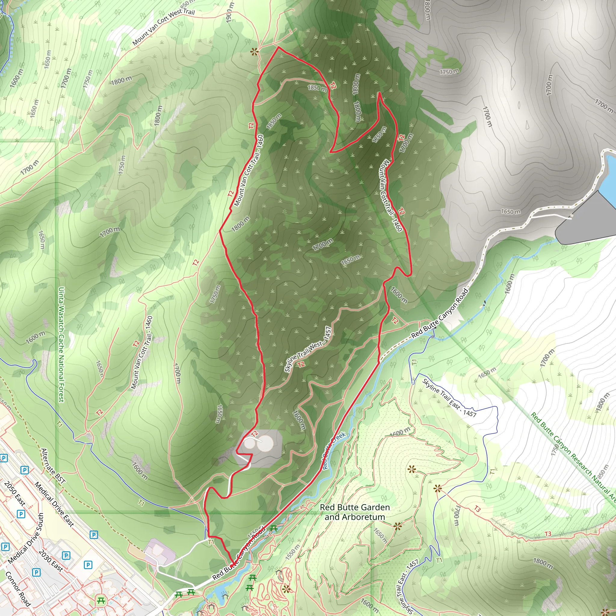
Starting near Salt Lake County, Utah, the Mount Van Cott Loop Trail offers a moderately challenging hike with a distance of around 4 km (2.5 miles) and an elevation gain of approximately 400 meters (1,312 feet). This loop trail provides a rewarding experience for those looking to enjoy the natural beauty and panoramic views of the Salt Lake Valley.
Getting There
To reach the trailhead, you can drive or use public transportation. If driving, head towards the University of Utah and park near the Natural History Museum of Utah, located at 301 Wakara Way, Salt Lake City, UT 84108. For those using public transport, take the TRAX Red Line to the University Medical Center Station, then walk or bike to the museum, which is about a 15-minute walk from the station.
Trail Navigation
The trail begins near the Natural History Museum of Utah. Using HiiKER, you can easily navigate the loop, ensuring you stay on track. The trail is well-marked, but having a reliable navigation tool is always beneficial.
Trail Highlights
As you start the hike, you'll quickly ascend through a series of switchbacks. The initial climb is steep but manageable, offering early glimpses of the valley below. After about 1 km (0.6 miles), you'll reach a ridge that provides a brief respite from the climb and offers stunning views of the Salt Lake Valley and the Great Salt Lake in the distance.
Flora and Fauna
The trail is rich in native flora, including sagebrush, scrub oak, and various wildflowers, especially vibrant in the spring and early summer. Wildlife sightings are common, with mule deer, rabbits, and a variety of bird species frequently spotted along the trail. Keep an eye out for red-tailed hawks soaring above.
Historical Significance
The region around Mount Van Cott holds historical significance, particularly related to the early settlers of the Salt Lake Valley. The nearby University of Utah campus, established in 1850, is one of the oldest institutions in the western United States. The Natural History Museum of Utah, located at the trailhead, offers exhibits that delve into the geological and cultural history of the area, making it a worthwhile stop before or after your hike.
Reaching the Summit
At around the 2 km (1.2 miles) mark, you'll reach the summit of Mount Van Cott. The elevation gain here is about 400 meters (1,312 feet) from the trailhead. The summit provides a 360-degree view, including the Wasatch Range to the east and the Oquirrh Mountains to the west. It's an excellent spot for a break and some photos.
Descent and Loop Completion
The descent begins shortly after the summit, looping back towards the starting point. The trail here is less steep but can be rocky, so watch your footing. The descent offers different perspectives of the valley and the surrounding mountains, making the loop both varied and engaging.
Final Stretch
As you approach the final stretch of the loop, you'll re-enter the lower elevation scrubland, eventually reconnecting with the initial trail segment. The entire loop takes about 2 to 3 hours to complete, depending on your pace and the number of stops you make to enjoy the views and wildlife.
Preparation Tips
Ensure you bring plenty of water, especially during the hotter months, as the trail is exposed with little shade. Sturdy hiking boots are recommended due to the rocky terrain. Check the weather forecast before heading out, as conditions can change rapidly in the mountains.
Using HiiKER for navigation will help you stay on track and make the most of your hike on the Mount Van Cott Loop Trail.
What to expect?
Activity types
Comments and Reviews
User comments, reviews and discussions about the Mount Van Cott Loop Trail, Utah.
4.79
average rating out of 5
19 rating(s)
