Download
3D Flyover
Add to list
More
Trail length
16.4 km
Time
~4 hrs 23 min
Elevation Gain
667 m
Hike Type
Point to Point
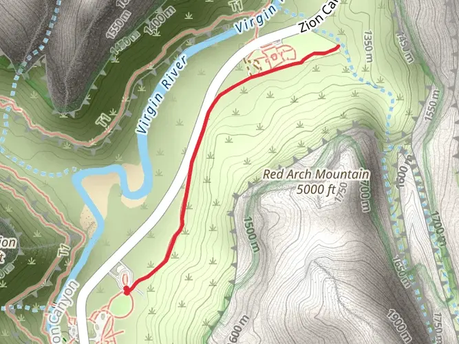
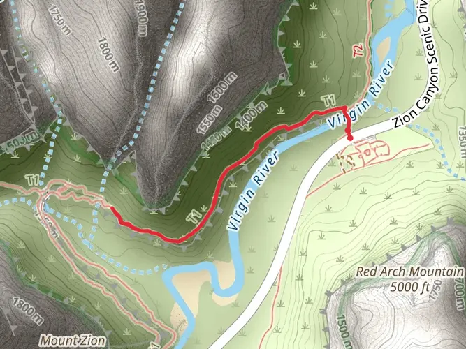
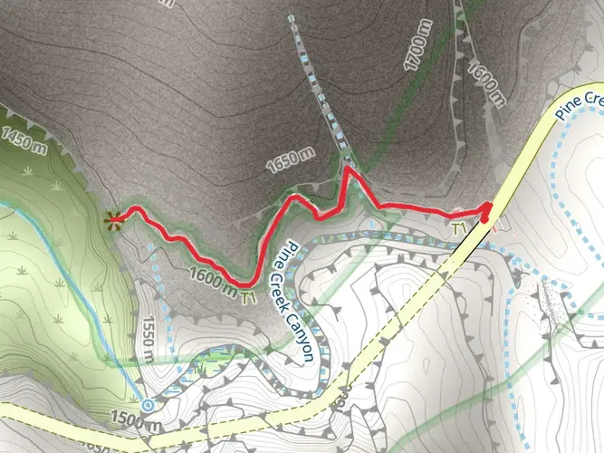
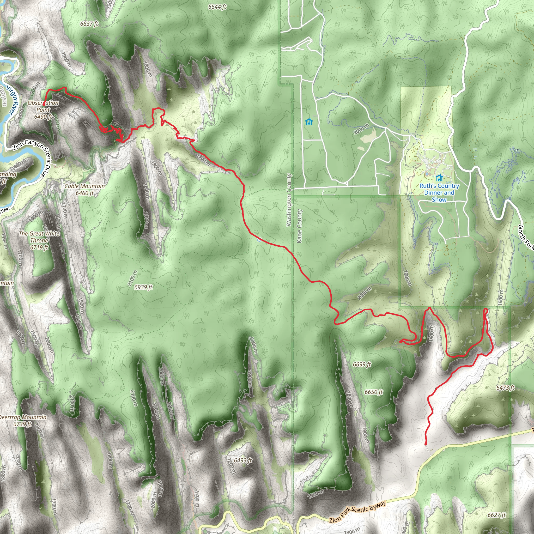
This easy custom route from Orderville covers about 10.2 miles with roughly 2,244 feet of ascent and 1,581 feet of descent. Starting near 37.2343, -112.8772 and ending by 37.2786, -112.9394, it gradually climbs into higher desert terrain with broad views over the canyons and distant plateaus. Gentle grades make it suitable for most hikers, while the steady elevation gain still offers a mild workout and rewarding panoramas along the way.
Created by
AZTRLRNNR
AI Planner
Days planned around your pace, with somewhere to stay each night.
Surfaces
Unpaved
Unknown
Comments and Reviews
User comments, reviews and discussions about the East Rim to Observation Point, Utah.
5.0
average rating out of 5
1 rating(s)