
Download
3D Flyover
Add to list
More
3.2 km
~1 hrs 2 min
233 m
Loop
“Discover the stunning Upper Calf Creek Fall Trail's steep descents, lush oases, and rich history.”
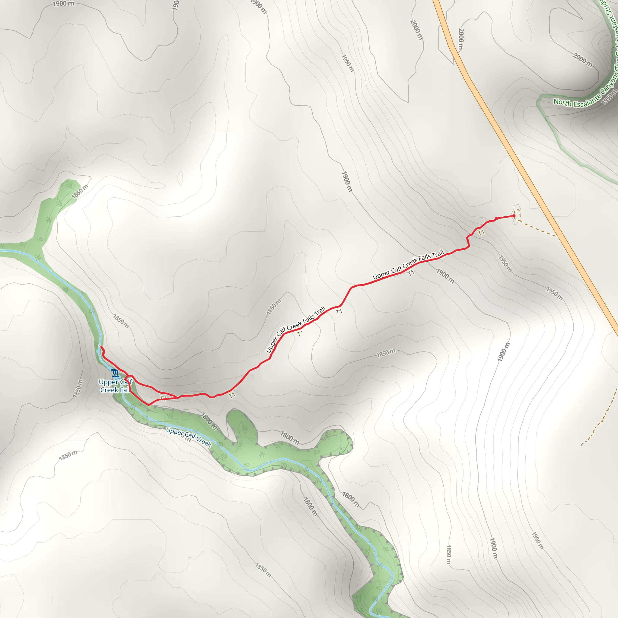
The Upper Calf Creek Fall Trail is a captivating 3 km (1.9 miles) loop trail located near Garfield County, Utah. With an elevation gain of approximately 200 meters (656 feet), this trail is rated as medium difficulty, making it suitable for moderately experienced hikers.
Getting There
To reach the trailhead, you can drive from Escalante, Utah, which is about 24 miles (38.6 km) away. Head east on UT-12 E for around 22 miles (35.4 km) until you reach the parking area near the trailhead. Public transport options are limited in this remote area, so driving is the most practical way to get there.
Trail Overview
The trail begins with a steep descent, so be prepared for a challenging start. The initial 0.5 km (0.3 miles) drops quickly, losing about 100 meters (328 feet) in elevation. This section can be slippery, especially after rain, so good hiking boots with strong grip are essential.
Significant Landmarks
As you descend, you'll notice the landscape transitioning from high desert to a lush riparian environment. The trail leads you to the stunning Upper Calf Creek Falls, a 25-meter (82-foot) waterfall that cascades into a clear, inviting pool. This is a perfect spot for a refreshing dip, especially during the hot summer months.
Flora and Fauna
The area around the falls is rich in diverse plant life, including cottonwoods, willows, and various wildflowers. Keep an eye out for local wildlife such as mule deer, lizards, and a variety of bird species. The contrasting environments along the trail offer a unique opportunity to observe different ecosystems within a short distance.
Historical Significance
The region is part of the Grand Staircase-Escalante National Monument, an area rich in geological and historical significance. The monument preserves a vast array of fossils, including those of dinosaurs, and offers a glimpse into the ancient history of the American Southwest.
Navigation and Safety
Given the steep and sometimes slippery terrain, it's advisable to use a reliable navigation tool like HiiKER to stay on track. The trail is well-marked, but having a digital map can provide extra assurance. Always carry plenty of water, as the desert environment can be extremely dehydrating, even in cooler months.
Return Ascent
The return journey involves a steep ascent back to the trailhead, regaining the 200 meters (656 feet) of elevation you lost at the beginning. Take your time and rest as needed, especially if the sun is high and temperatures are soaring.
This trail offers a rewarding experience with its combination of challenging terrain, stunning natural beauty, and rich historical context. Whether you're there for the hike, the swim, or the chance to explore a unique ecosystem, the Upper Calf Creek Fall Trail is a must-visit for any outdoor enthusiast.
What to expect?
Activity types
Comments and Reviews
User comments, reviews and discussions about the Upper Calf Creek Fall Trail, Utah.
4.73
average rating out of 5
15 rating(s)
