Download
3D Flyover
Add to list
More
Trail length
15.2 km
Time
~4 hrs 57 min
Elevation Gain
1158 m
Hike Type
Point to Point
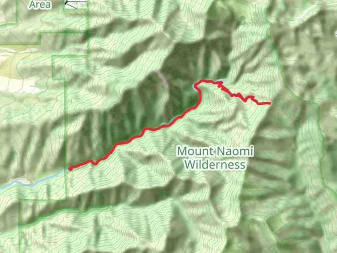
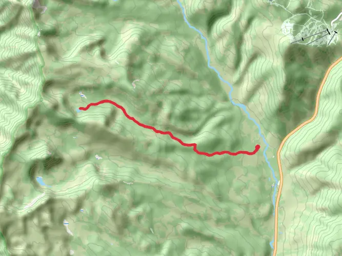
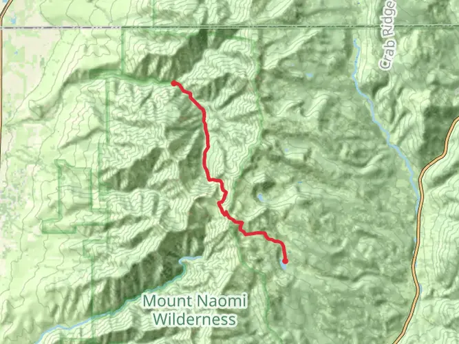
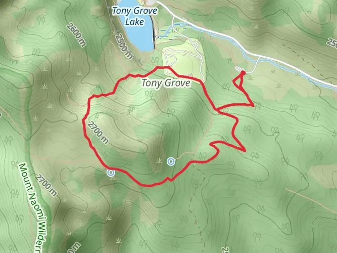
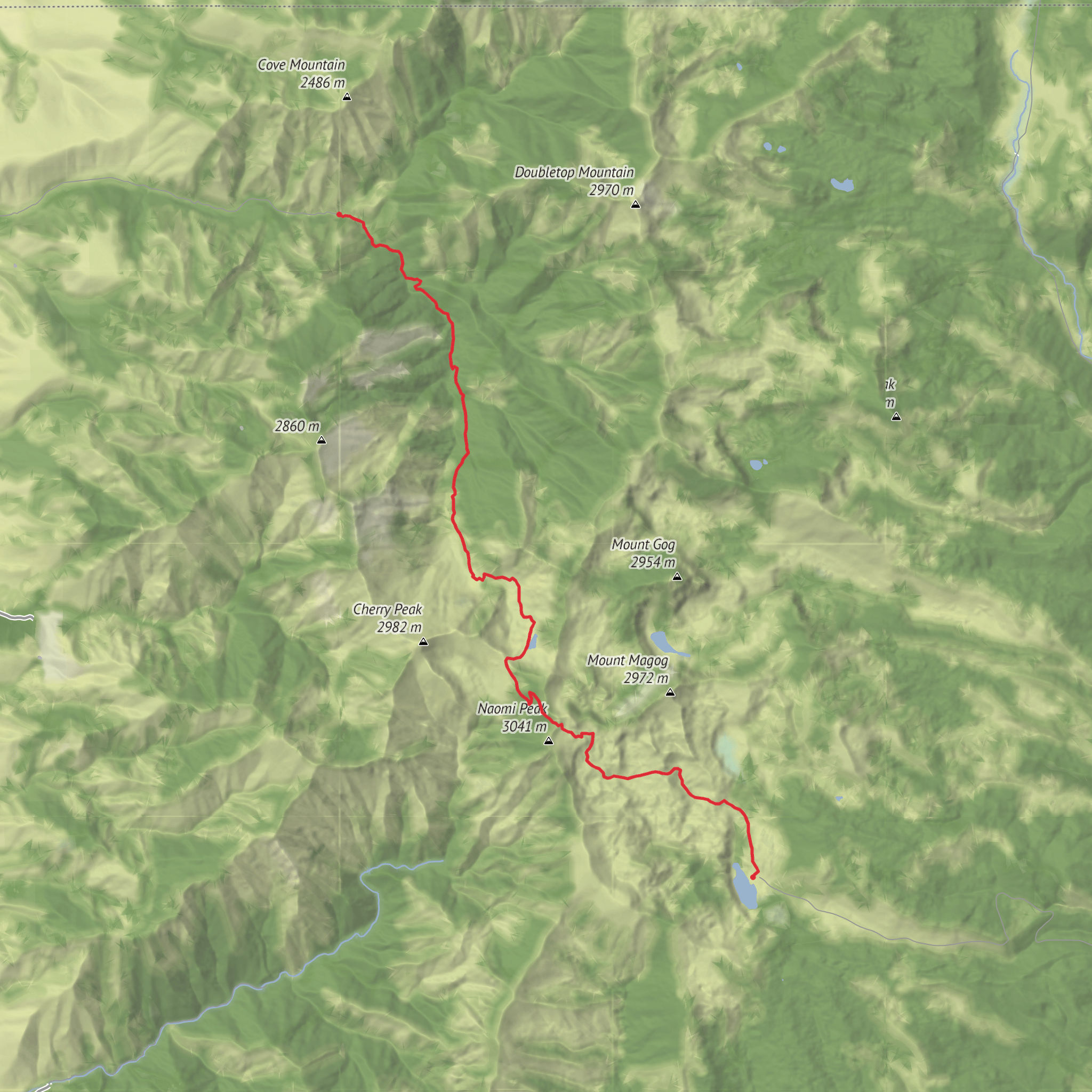
This moderate 5‑hour hike from Richmond covers about 9.4 miles, climbing roughly 3,940 feet with about 1,925 feet of descent. Starting near 41.9744, -111.7091, the route steadily gains elevation, offering expanding views of the surrounding Cache Valley and nearby mountains. Finishing near 41.8950, -111.6425, it’s a solid outing for hikers looking for a longer but non-technical route with rewarding scenery and varied terrain.

Created by
Jeff B
AI Planner
Days planned around your pace, with somewhere to stay each night.
Comments and Reviews
User comments, reviews and discussions about the Hike from High Creek Canyon to Tony Grove, Utah.
average rating out of 5
0 rating(s)