Download
3D Flyover
Add to list
More
Trail length
2.8 km
Time
~49 min
Elevation Gain
65 m
Hike Type
Loop
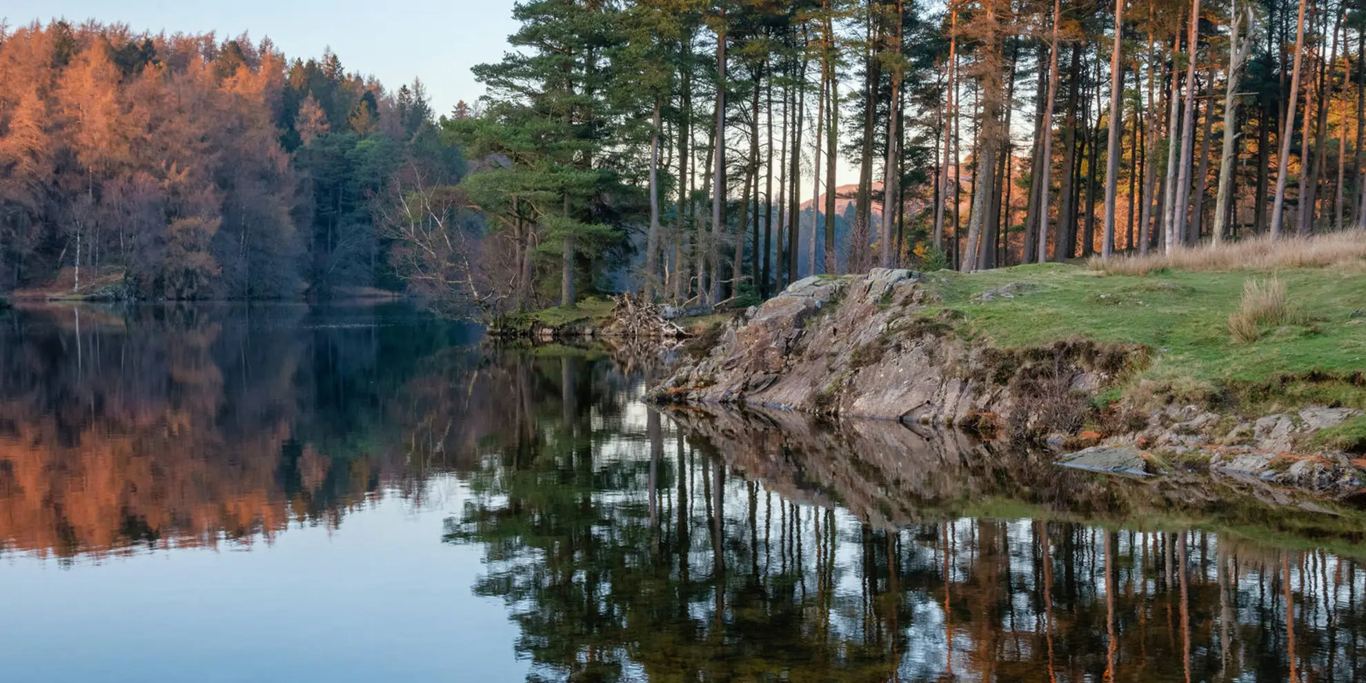
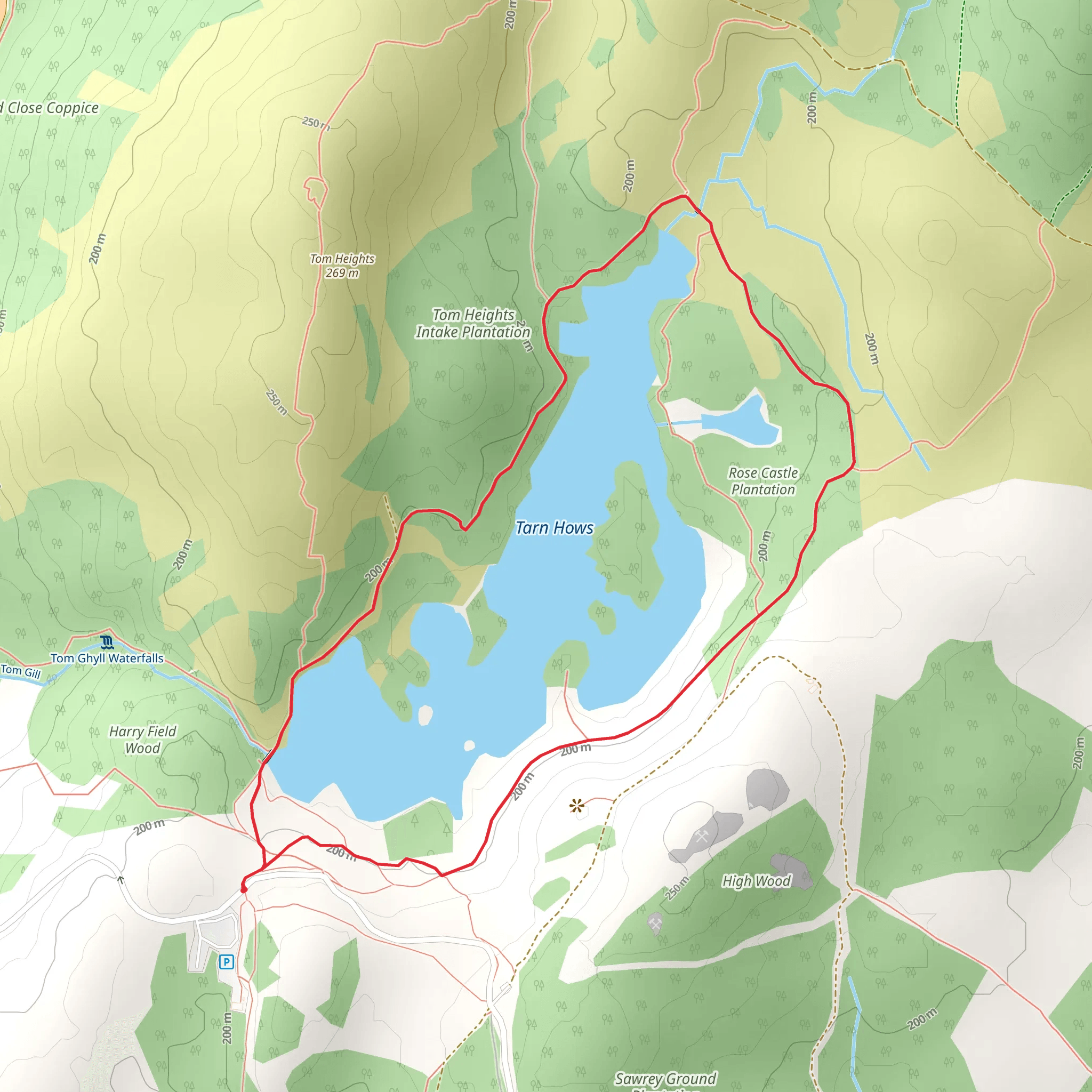
This medium 2.8 km loop near 54.38741, -3.03821 offers a short but engaging walk of about 50 minutes. With around 65 m of elevation gain and 73 m of descent, it has a few gentle climbs and drops but remains accessible to most hikers. The route stays close to its start and end points, making it easy to navigate and ideal for a quick outing, light exercise, or a relaxed exploration of the local countryside views.

Created by
Adventure Awaits
What to expect?
wheelchair-friendly
lakes
scenic-views
family-friendly
dog-friendly
Activity types
nature-trips
Comments and Reviews
User comments, reviews and discussions about the Tarn Hows, England.
average rating out of 5
0 rating(s)
