Download
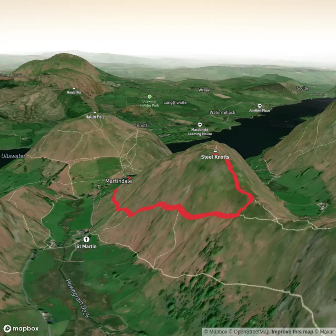
3D Flyover
Add to list
More
Trail length
4.2 km
Time
~1 hrs 27 min
Elevation Gain
208 m
Hike Type
Out and Back
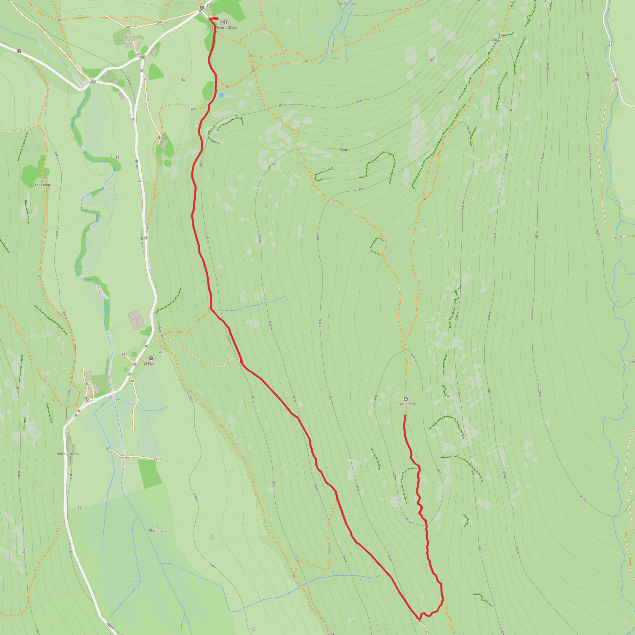
Challenging circular hike starting and ending near Westmorland and Furness (54.564518, -2.873905). Over 4.19 km, the route climbs about 217 m and descends around 230 m, packing steady ups and downs into roughly 1.5 hours. Expect demanding sections with short, steep slopes and potentially uneven ground, rewarded with open countryside views typical of this Cumbrian landscape. Suitable for fit hikers seeking a brief but strenuous outing.

Created by
Adventure Awaits
Surfaces
Dirt
Unknown
Paved
Comments and Reviews
User comments, reviews and discussions about the Steele Knotts Round the side, England.
5.0
average rating out of 5
1 rating(s)
