
Download
3D Flyover
Add to list
More
Trail length
10.6 km
Time
~2 hrs 34 min
Elevation Gain
274 m
Hike Type
Loop
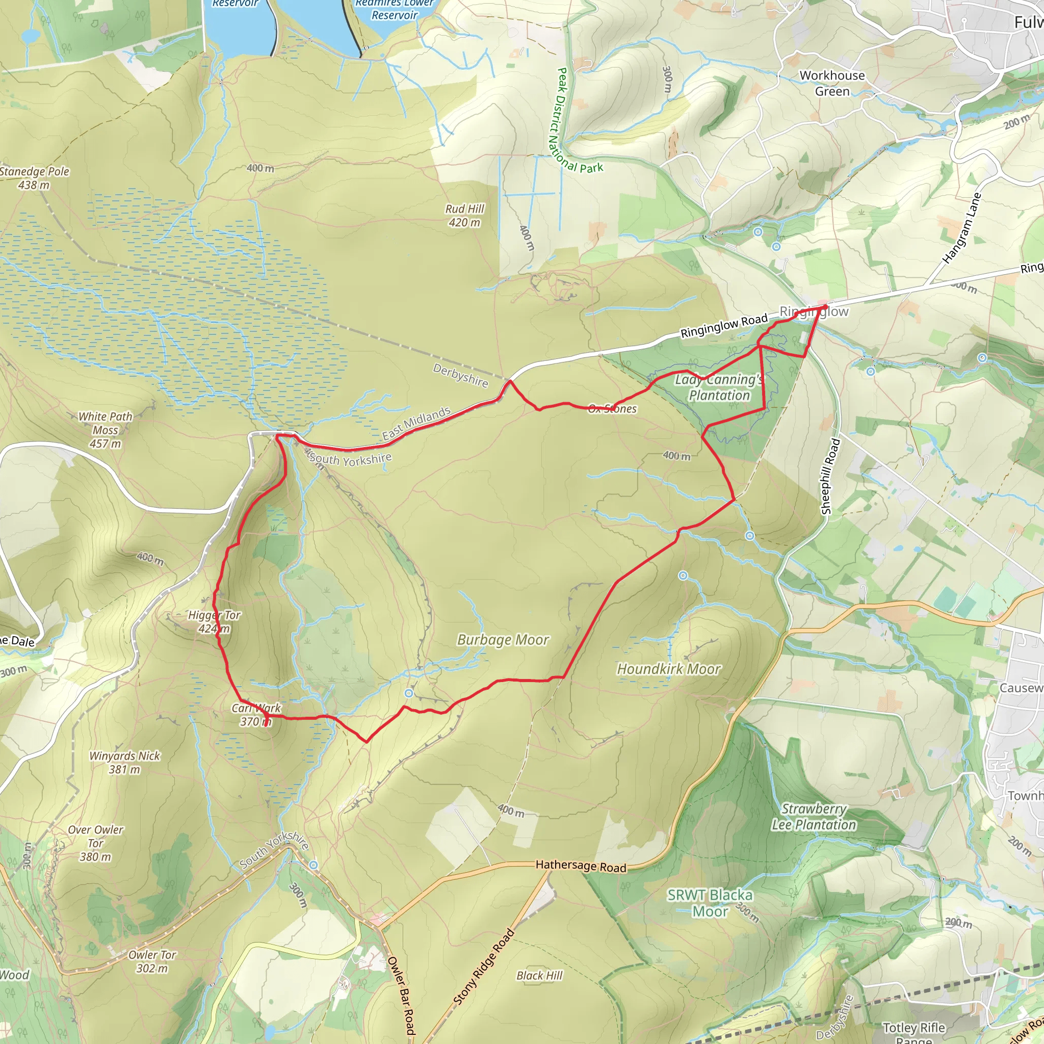
A medium circular hike from South Yorkshire covering about 9.8 km (6.1 miles) with steady ups and downs. Expect a total ascent of around 244 m and descent of 259 m, giving some short, testing climbs but plenty of easier terrain in between. The route begins and ends at the same point, making it convenient for parking and navigation, and offers varied countryside views typical of South Yorkshire’s rolling landscapes.
Created by
Egregious
Surfaces
Dirt
Compacted Gravel
Gravel
Unknown
Asphalt
Unpaved
Grass
Ground
Comments and Reviews
User comments, reviews and discussions about the Ringinglow to Higger Tor, England.
5.0
average rating out of 5
2 rating(s)
