
Download
3D Flyover
Add to list
More
Trail length
25.8 km
Time
~6 hrs 3 min
Elevation Gain
547 m
Hike Type
Loop
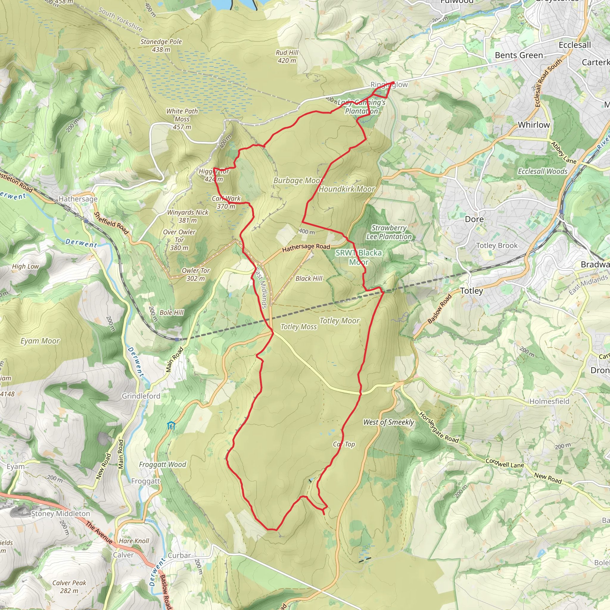
This medium circular hike from South Yorkshire covers about 16 miles (25,766 m) with steady ups and downs, gaining around 547 m and losing about 598 m in elevation. Expect a mix of gentle climbs and moderate slopes, giving varied views over the surrounding countryside. The route returns to its starting point, making it easy for planning and transport, and offers a full‑day outing without requiring an overnight stay.
Created by
Egregious
AI Planner
Days planned around your pace, with somewhere to stay each night.
Surfaces
Dirt
Compacted Gravel
Gravel
Ground
Grass
Unknown
Asphalt
Unpaved
Comments and Reviews
User comments, reviews and discussions about the Ringinglow, Barbrook, Higger Tor loop, England.
average rating out of 5
0 rating(s)
