Download
3D Flyover
Add to list
More
151.7 km
~6 days
3307 m
Multi-Day
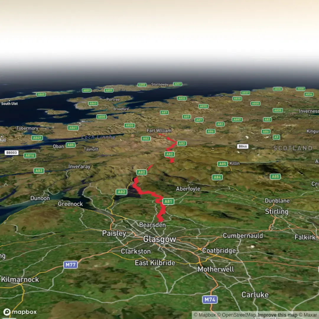
The Plan of WHW is a 151.7 km trail that starts in Milngavie, East Dunbartonshire, Scotland. Based on our data, the hike is graded as Medium. For information on how we grade trails, please read measuring the difficulty of a hiking trail on hiiker. Also, check our latest community posts for trail updates. This hike can be completed in approx 6 days. Caution is advised on trail times as this depends on multiple variables. For more info read about how we calculate hike time.

What to expect?
Activity types
Surfaces
Unknown
Asphalt
Dirt
Gravel
Ground
Unpaved
Grass
Cobblestone
Wood
Concrete
Comments and Reviews
User comments, reviews and discussions about the Plan of WHW, Scotland.
5.0
average rating out of 5
6 rating(s)