Download
Preview
Add to list
More
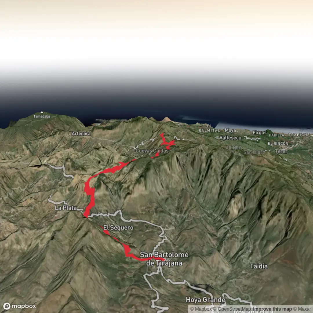
Trail length
18.4 km
Time
~5 hrs 21 min
Elevation Gain
1007 m
Hike Type
Point-to-Point
A medium, single‑day route of about 18.4 km with a solid 1,007 m of climbing and 702 m of descent, this hike crosses varied volcanic and coastal landscapes in the south of Gran Canaria. Starting near 27.93, -15.57, it gradually gains height for wide views over arid ridges and ravines before finishing near 28.01, -15.60. Expect sustained uphill sections, changing terrain underfoot, and rewarding panoramic viewpoints along the way.
Created by
Jankoala

Comments and Reviews
User comments, reviews and discussions about the Hike from Hoya de Tunte, Spain.
5.0
average rating out of 5
1 rating(s)