
Download
3D Flyover
Add to list
More
Trail length
24.5 km
Time
~5 hrs 26 min
Elevation Gain
324 m
Hike Type
Point to Point
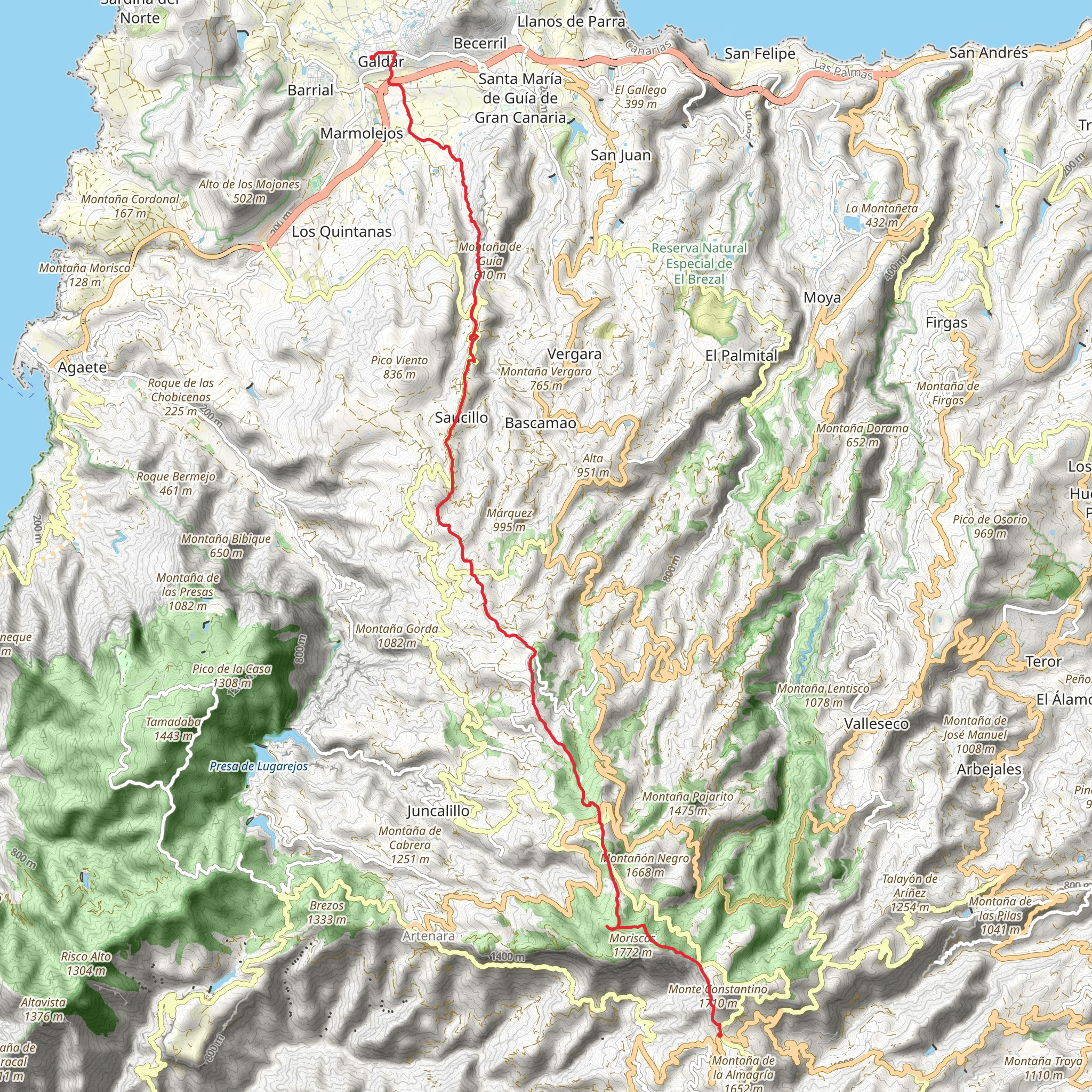
This easy custom route runs across Gran Canaria’s eastern shoreline between coordinates near Las Palmas Airport and northward toward Telde/Las Palmas. Though the stats show 0 km and 0 m gain/loss, the terrain is generally gentle, with minor ups and downs. Expect coastal views, arid volcanic landscapes, scattered urban areas, and good weather most of the year, making it suitable for beginners and relaxed walkers.
Created by
Jankoala
Comments and Reviews
User comments, reviews and discussions about the Hike from Cruz de Tejeda, Spain.
5.0
average rating out of 5
1 rating(s)
