
Download
3D Flyover
Add to list
More
Trail length
42.1 km
Time
~2 days
Elevation Gain
493 m
Hike Type
Point to Point
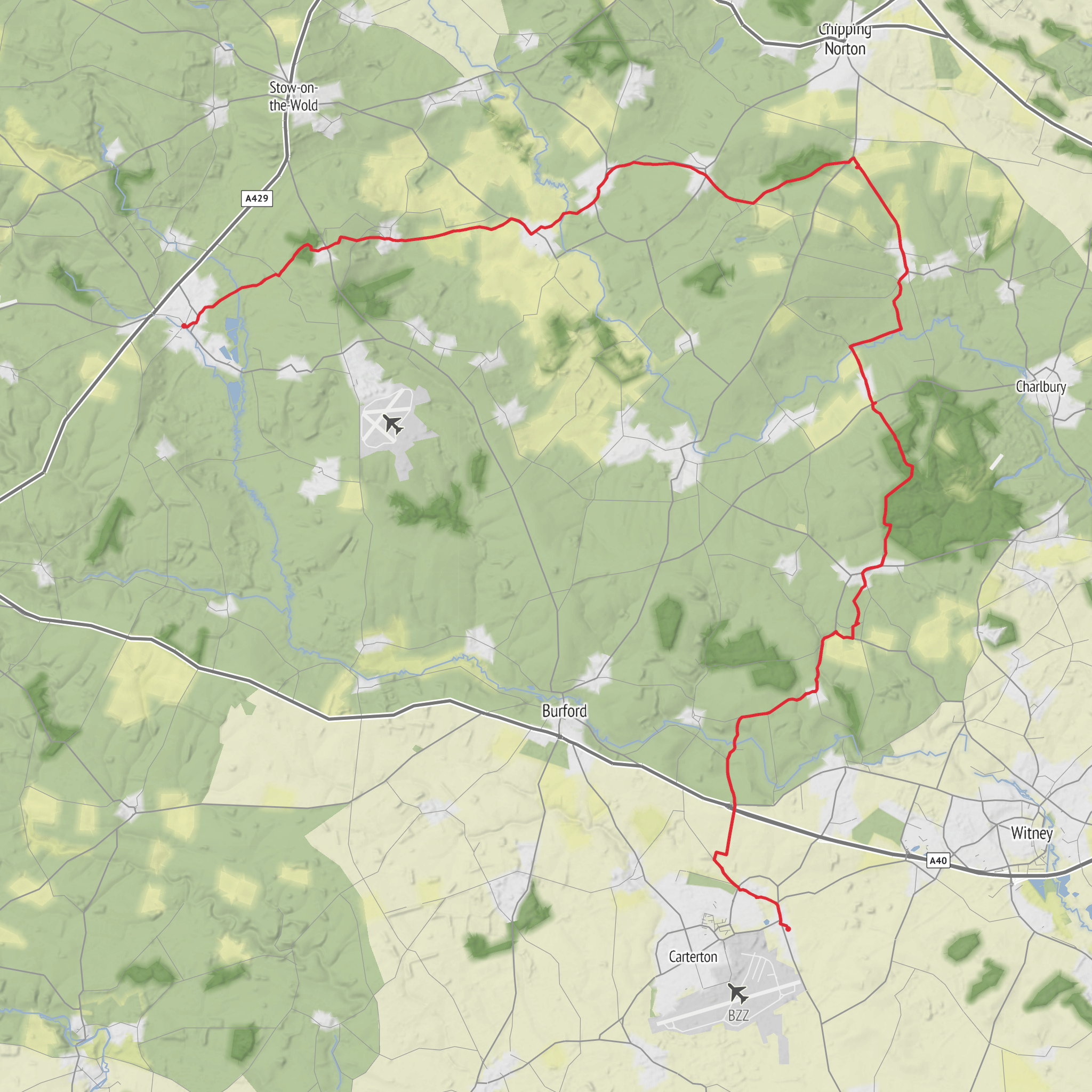
A gentle one-way walk of about 26 miles from Bourton-on-the-Water through classic Cotswold countryside. Starting near the River Windrush, the route follows quiet lanes and footpaths between stone villages and rolling farmland. It’s long but not steep, suiting fit walkers who enjoy full-day outings and varied rural scenery ending near RAF Brize Norton.
Created by
Adam
AI Planner
Days planned around your pace, with somewhere to stay each night.
What to expect?
Pub Walk
Dog Friendly
Family Friendly
Wildlife
Scenic Views
Rivers
Surfaces
Unknown
Asphalt
Ground
Paved
Gravel
Comments and Reviews
User comments, reviews and discussions about the Hike from Bourton-on-the-Water 3, England.
5.0
average rating out of 5
1 rating(s)
