
Download
3D Flyover
Add to list
More
Trail length
16.1 km
Time
~4 hrs 19 min
Elevation Gain
184 m
Hike Type
Out and Back
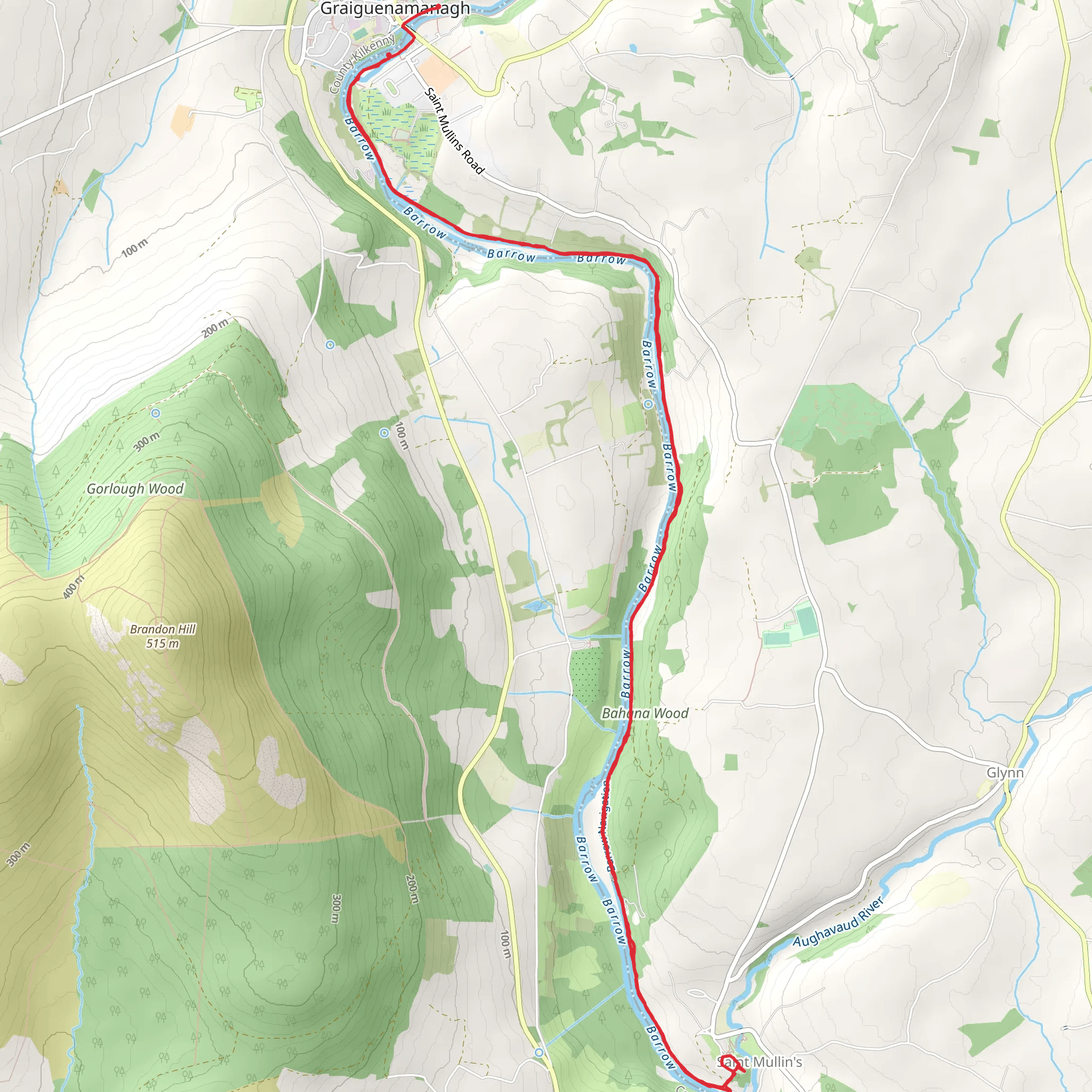
This easy 16.1 km route near 52.53829, -6.95592 offers a relaxed half‑day outing with gentle terrain. Over about 3 hours 40 minutes you’ll gain roughly 184 m and lose 360 m in elevation, making it a mostly descending walk with mild climbs. The trail moves through quiet rural countryside near Enniscorthy, with open fields, country lanes, and scattered woodland, finishing close to 52.54068, -6.95191. Suitable for beginner to intermediate hikers.
Created by
WmSm
AI Planner
Days planned around your pace, with somewhere to stay each night.
What to expect?
Wildflowers
Forest
Mountain Views
Rivers
Comments and Reviews
User comments, reviews and discussions about the Gruige to St Mullins, Ireland.
average rating out of 5
0 rating(s)
