Download
3D Flyover
Add to list
More
Trail length
10.4 km
Time
~3 hrs 1 min
Elevation Gain
214 m
Hike Type
Point-to-Point
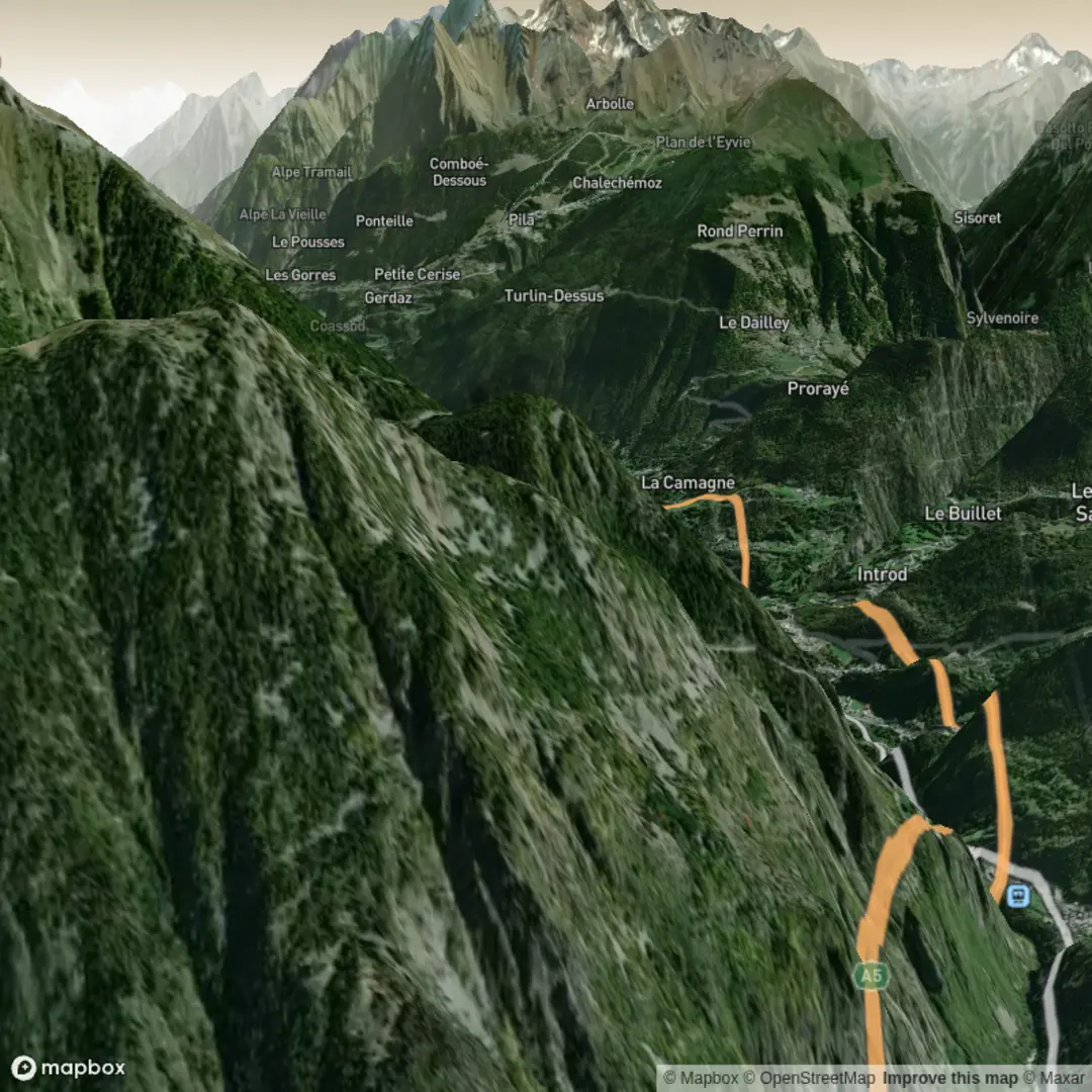
This medium 10.3 km route runs roughly 3 hours over alpine terrain near 45.72 N, 7.14 E, finishing close to 45.71 N, 7.21 E in the Aosta Valley area. Expect a modest total climb of about 214 m followed by a substantial descent of around 1,420 m, making it ideal as a downhill-focused hike. Views may include high mountain ridges, forested slopes, and small villages in the valley below, with varied scenery and steady but manageable paths.

Created by
Mary Moore

Comments and Reviews
User comments, reviews and discussions about the Day 6 Vens to Villeneuve, Italy.
average rating out of 5
0 rating(s)