
Download
3D Flyover
Add to list
More
Trail length
18.6 km
Time
~2 days
Elevation Gain
1017 m
Hike Type
Point to Point
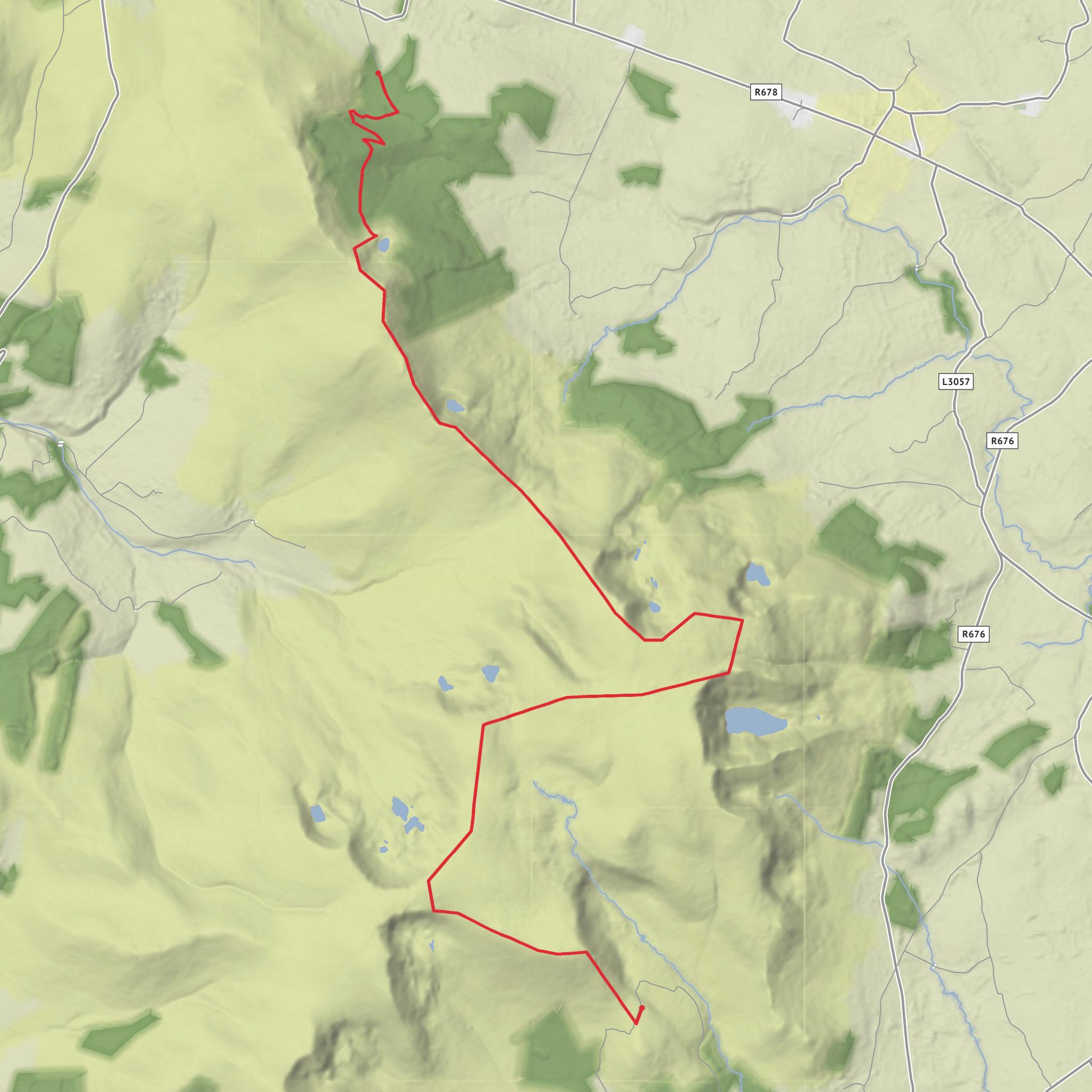
This medium 18.5 km route starts near County Waterford’s countryside at 52.3136, -7.5833 and finishes close to 52.2216, -7.5409. With about 1034 m of elevation gain and 907 m of loss, it offers steady climbs, rewarding viewpoints and rolling farmland scenery. Expect a full-day outing of around 9 hours, suitable for reasonably fit hikers looking for a challenging but manageable single-day adventure.
Created by
Nailer67
AI Planner
Days planned around your pace, with somewhere to stay each night.
What to expect?
Lakes
Mountain Views
Surfaces
Unknown
Gravel
Grass
Comments and Reviews
User comments, reviews and discussions about the Comeragh Lakes, Ireland.
5.0
average rating out of 5
1 rating(s)



