Download
3D Preview
Add to list
More
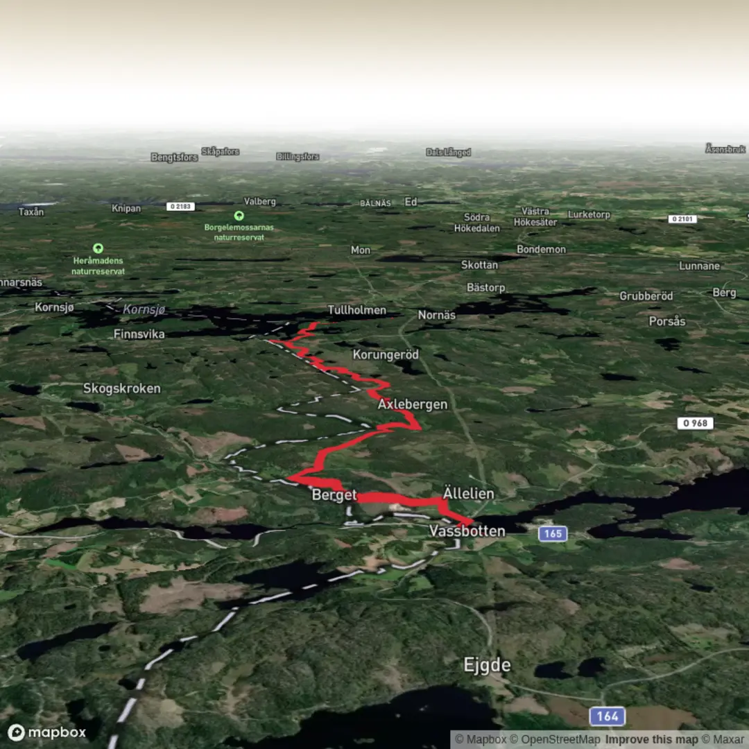
Trail length
13.9 km
Time
~3 hrs 12 min
Elevation Gain
264 m
Hike Type
Point-to-Point
An easy point‑to‑point hike of about 13.8 km, taking a little over 3 hours, with gentle elevation changes (around 270 m up and 220 m down). Starting near 58.875212, 11.533793, the route gradually climbs through low rolling terrain before descending toward 58.888056, 11.668606. Suitable for most hikers, it’s a relaxed outing with mild hills and opportunities to enjoy open views and the surrounding countryside.

Created by
Run Hike Sleep Repeat

What to expect?
waterfalls
mountain-views
Surfaces
Ground
Unknown
Gravel
Unpaved
Asphalt
Comments and Reviews
User comments, reviews and discussions about the Bohusleden Trail stage 5, Sweden.
average rating out of 5
0 rating(s)