Download
3D Preview
Add to list
More
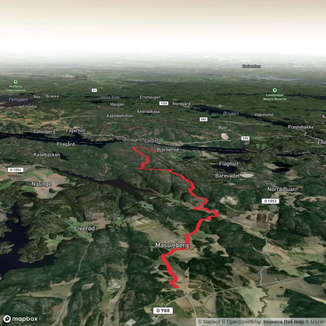
Trail length
13.4 km
Time
~3 hrs 6 min
Elevation Gain
253 m
Hike Type
Point-to-Point
This easy custom hike in Västra Götalands län covers about 13.4 km in just over 3 hours. Starting near 58.951745, 11.302371 and ending at 59.006333, 11.422291, it gently climbs around 254 m and descends about 215 m, offering mild ups and downs suitable for most hikers. The route showcases the region’s typical Swedish countryside, with forest sections, open views, and a relaxed pace ideal for a longer but accessible day hike.

Created by
Run Hike Sleep Repeat

What to expect?
mountain-views
forest
Surfaces
Unknown
Compacted Gravel
Asphalt
Fine Gravel
Ground
Grass
Gravel
Comments and Reviews
User comments, reviews and discussions about the Bohusleden Trail stage 2, Sweden.
average rating out of 5
0 rating(s)