Download
3D Flyover
Add to list
More
Trail length
7.7 km
Time
~3 hrs 11 min
Elevation Gain
627 m
Hike Type
Loop
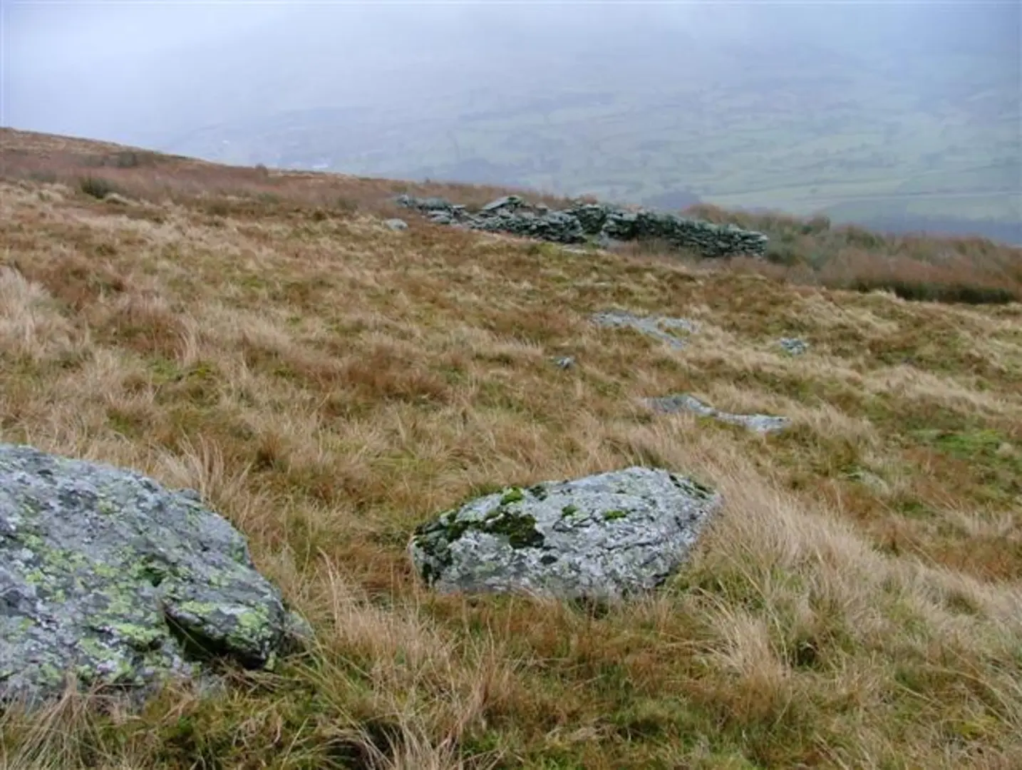
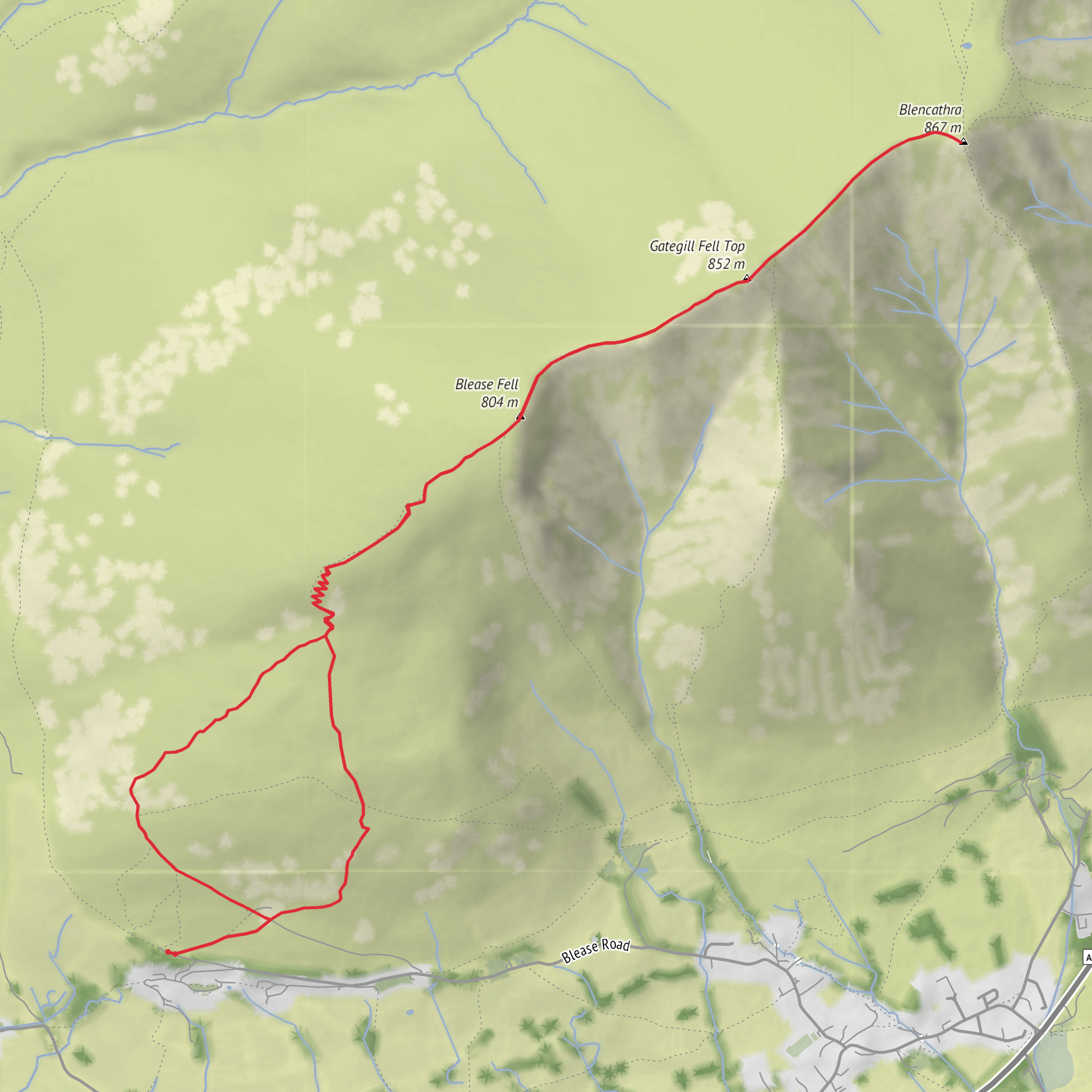
Challenging 7.7 km route with around 630 m of ascent and 670 m of descent, suited to experienced hikers with good fitness. Expect steep, sustained climbs and uneven ground, rewarded by far-reaching Lake District views and dramatic surrounding fells. The loop starts and ends near 54.621114, -3.081723, making logistics easy. Allow just over 3 hours, plus extra time for breaks and photos.

Created by
Adventure Awaits
What to expect?
scenic-views
wildflowers
wildlife
Activity types
hiking
Comments and Reviews
User comments, reviews and discussions about the Blencathra loop, England.
4.0
average rating out of 5
1 rating(s)
