
Download
3D Flyover
Add to list
More
40.2 km
~2 days
676 m
Point to Point
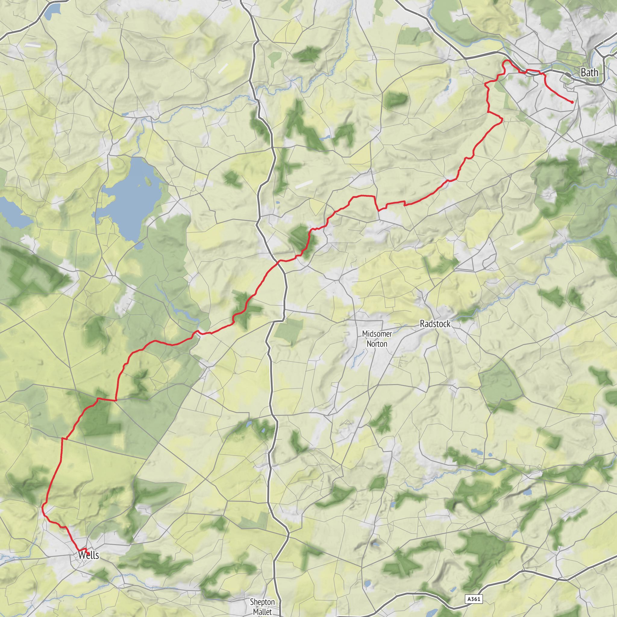
Explore the pristine beauty of England in the "Cotswolds AONB - May 3" hike, an easy level challenge that barely spans 501 minutes. Starting from the rustic charm of Tucking Mill Manor in Bath, this hike unveils a 37.48-kilometre course through captivating landscapes before culminating at the medieval structure on 2 Cathedral Green in Wells. Over the journey, prepare to ascend 518 metres before gradually descending 594 metres in elevation. Despite its generous length, this hike isn't a multi-day expedition, so you can fully immerse in the one-day panoramic adventure. Enjoy a picturesque day out traversing through quintessential English countryside, teeming with an array of wildlife and an aura of tranquillity.
AI Planner
Days planned around your pace, with somewhere to stay each night.
Surfaces
Unknown
Dirt
Asphalt
Grass
Gravel
Paved
Cobblestone
Concrete
Comments and Reviews
User comments, reviews and discussions about the Bath > Wells, England.
average rating out of 5
0 rating(s)
