Download
3D Flyover
Add to list
More
4.6 km
~57 min
27 m
Point-to-Point
“Wander Utö’s storied shores and sunlit meadows, where sea breezes and island history entwine.”
Begin your journey on the island of Utö, a gem in the Stockholm Archipelago, where the trailhead is conveniently located near Utö Gruvbrygga, the main ferry dock and a historic site once central to Sweden’s iron mining industry. The trail stretches for approximately 5 km (about 3.1 miles) with virtually no elevation gain, making it accessible for most walkers and families.
Getting There
Reaching Utö is straightforward: from Stockholm, take a commuter train to Västerhaninge, then a connecting bus to Årsta Brygga. From there, regular ferries operated by Waxholmsbolaget or Cinderellabåtarna will bring you directly to Utö Gruvbrygga. If driving, parking is available at Årsta Brygga before boarding the ferry.
Trail Experience and Navigation
The path meanders through a landscape shaped by the Baltic Sea, with pine forests, open meadows, and rocky outcrops. Navigation is simple, with clear waymarking, but for added confidence and route details, use HiiKER for up-to-date maps and trail conditions.
Landmarks and Points of Interest
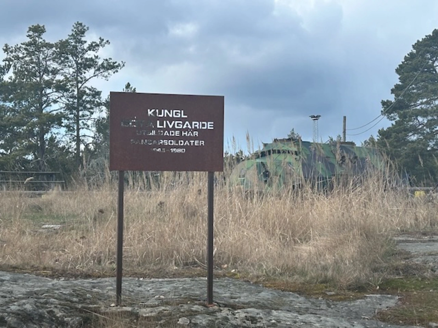
- Utö Gruvbrygga: The starting point is steeped in history, with remnants of Sweden’s oldest iron ore mines nearby. The mining museum and preserved miners’ cottages offer a glimpse into the island’s industrial past.
- Coastal Views and Beaches: Early on, the trail skirts the coastline, offering sweeping views of the archipelago’s blue waters and scattered islets. Look out for sandy coves and smooth granite slabs perfect for a rest or picnic.
- Flora and Fauna: The route is rich in biodiversity. In spring and summer, wildflowers carpet the meadows, and the forests are alive with birdsong. White-tailed eagles, ospreys, and deer are commonly spotted.
- Ålö Bridge: At around the 4 km (2.5 mile) mark, you’ll reach the small bridge connecting Utö to Ålö. This is a scenic highlight, with panoramic views and often a gentle sea breeze. The bridge area is a good spot to watch for seals basking on the rocks.
- Ålö: The trail concludes near Ålö’s guest harbor and the popular Båtshaket seafood restaurant, renowned for its fresh, local catches. Here, you can relax by the water or continue exploring Ålö’s quieter beaches and forests.
Practical Tips
The terrain is mostly flat and well-maintained, suitable for trainers or light hiking shoes. Water and snacks are advisable, as services are limited between Utö Gruvbrygga and Ålö, though both ends offer cafés and restrooms. The trail is open year-round, but ferry schedules vary by season, so check times in advance, especially outside summer months.
For navigation, trail updates, and offline maps, HiiKER is recommended to ensure a smooth and enjoyable hike across these storied islands.

Surfaces
Gravel
Unknown
Unpaved
Ground
Comments and Reviews
User comments, reviews and discussions about the Stockholm Archipelago Trail - Utö - Ålö Connector, Sweden.
average rating out of 5
0 rating(s)