Download
3D Flyover
Add to list
More
201.2 km
~9 days
5306 m
Multi-Day
“A vivid Lapland crossing of airy passes, quiet valleys, and deepening wilderness demands thoughtful planning.”
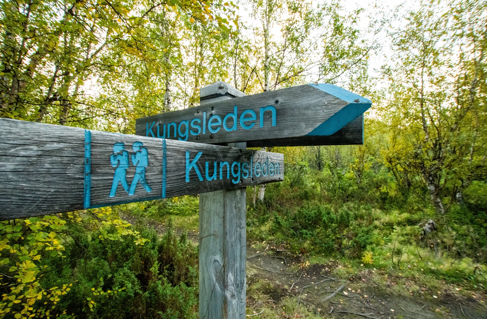
This roughly 200 km / 124 mile northern stretch of Kungsleden crosses some of the most celebrated mountain country in Swedish Lapland, linking broad tundra valleys, birch forest, high passes, lake crossings, and long remote sections where the landscape feels much bigger than the trail itself. With about 5,300 metres / 17,390 feet of total ascent, it is best thought of as a medium hike by long-distance standards rather than an easy one: the gradients are usually moderate, but the length, weather exposure, river and lake logistics, and repeated multi-day resupply planning make it a serious undertaking. The usual northern line begins at STF Abisko Turiststation, Abisko, Sweden, near Abisko National Park and the Abisko Turiststation railway stop, and continues south through the mountain chain toward Kvikkjokk Fjällstation, Kvikkjokk, Sweden, with many hikers also treating Nikkaluokta or Vakkotavare as intermediate entry or exit points. (swedishtouristassociation.com)
The character of the route changes noticeably as you move south. The opening section from Abisko is among the most accessible and best-serviced parts of the entire King’s Trail, with clear tread and regular STF huts. Farther on, especially beyond the Kebnekaise area and south of Vakkotavare toward Kvikkjokk, the trail becomes quieter and more committing, with longer gaps, more dependence on boat links, and a stronger wilderness feel. If your “Kungsleden North” itinerary is around 200 km, that usually means either Abisko to Kvikkjokk or a similar northern combination using the main trail plus the common Singi–Nikkaluokta branch. (dothenorth.com)
What the route feels like on the ground
From Abisko, the trail starts in a subarctic environment shaped by wide valleys, glacially carved terrain, and open views that can make distances deceptive. Early days often involve good paths through birch woodland and heath before the route opens into classic fjäll country: rolling plateaus, marshy sections on boardwalk, stony stretches, and long valley walking beneath rounded and sometimes dramatic peaks. The best-known high point on the northern trail system is Tjäktja Pass, around 1,150 m / 3,773 ft, which is the highest point on Kungsleden and often one of the most memorable sections because of its alpine feel and the possibility of lingering snow well into summer. (jvt.se)
Approximate planning distances vary by itinerary, but a common breakdown is: - Abisko to Nikkaluokta: about 105 km / 65 miles - Nikkaluokta to Kvikkjokk: often described as roughly 180 km / 112 miles if treated as the next longer northern continuation - A custom “north” itinerary of around 200 km / 124 miles often combines the Abisko section with part of the continuation south, or uses road/boat transfers to connect the most practical hiking segments. (alltrails.com)
Because of that, it is worth checking your exact stage plan carefully in HiiKER before setting out, especially around junctions, side access points, and lake-transfer sections.
Landmarks, terrain, and notable sections
Abisko National Park is the classic northern gateway. This area is famous for its mountain birch forest, broad valley scenery, and easy access by rail and road. The trailhead near STF Abisko Turiststation is one of the most straightforward starts on any major Scandinavian long-distance route. (en.wikipedia.org)
South of Abisko, the route passes through hut-linked mountain country toward Alesjaure and Sälka, then climbs toward Tjäktja Pass. This is where hikers should expect colder wind, reduced visibility in poor weather, and more lingering snowfields than on lower sections. Even in the main hiking season, conditions can shift quickly from mild sunshine to near-winter exposure. (trailio.app)
Near Singi, an important junction appears. One branch leads southeast toward Nikkaluokta, the common exit for hikers visiting the Kebnekaise region; the main Kungsleden line continues south toward Vakkotavare. Nikkaluokta itself is a significant landmark and access point: a small Sámi village and mountain gateway east of the main trail network, strongly associated with trips to Kebnekaise, Sweden’s highest mountain.

Surfaces
Unknown
Ground
Dirt
Wood
Asphalt
Comments and Reviews
User comments, reviews and discussions about the Kungsleden North, Sweden.
average rating out of 5
0 rating(s)