Download
3D Flyover
Add to list
More
13.3 km
~2 hrs 54 min
145 m
Point-to-Point
“A gentle Gran Canaria wander awaits—once the missing start point turns guesswork into a true trail.”
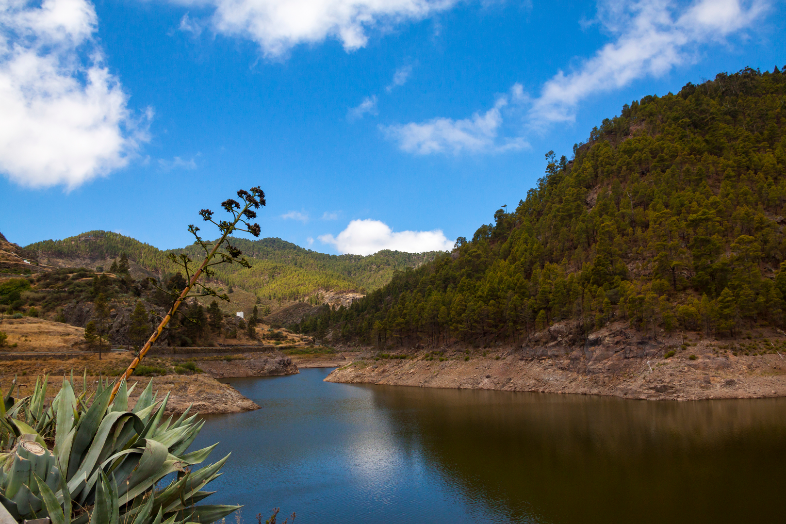
I’m missing a few key details needed to write an accurate, plan-ready description for a specific 13 km (8.1 mi), ~100 m (330 ft) easy hike on Gran Canaria—right now “Hike head: near” and “Hike type:” are blank, and there are no coordinates to convert to a nearby landmark/address.
Send any one of the following and I’ll produce the full description exactly in the style you requested (with distances/elevation in km+mi, historical context, landmarks, nature/wildlife, hazards, and how to get there by car/public transport; and I’ll reference HiiKER for navigation):
1) Start point (preferred): a lon/lat pair (e.g., -15.56, 28.10) or a Google Maps pin link
2) End point (if different) and whether it’s loop / out-and-back / point-to-point
3) The trail type you want: coastal, barranco/valley, pine forest, volcanic caldera, village-to-village, etc.
4) Any “must include” landmark (Roque Nublo area, Pico de las Nieves, Maspalomas dunes, Barranco de Guayadeque, Caldera de Bandama, etc.)
If you don’t have coordinates, tell me the nearest place name (for example: “near Tejeda” or “near Maspalomas lighthouse”) and whether you want mostly flat, shaded, or coastal views—I can then draft a route concept that fits ~13 km and ~100 m, but it will be less precise than if you provide the start location.

Surfaces
Asphalt
Unknown
Gravel
Sand
Ground
Concrete
Paved
Unpaved
Comments and Reviews
User comments, reviews and discussions about the Gran Canaria, Spain.
average rating out of 5
0 rating(s)