Download
Preview
Add to list
More
6.4 km
~1 hrs 46 min
297 m
Loop
“Steep woodland paths rise to airy crags, where Callander meets Highland drama and history.”
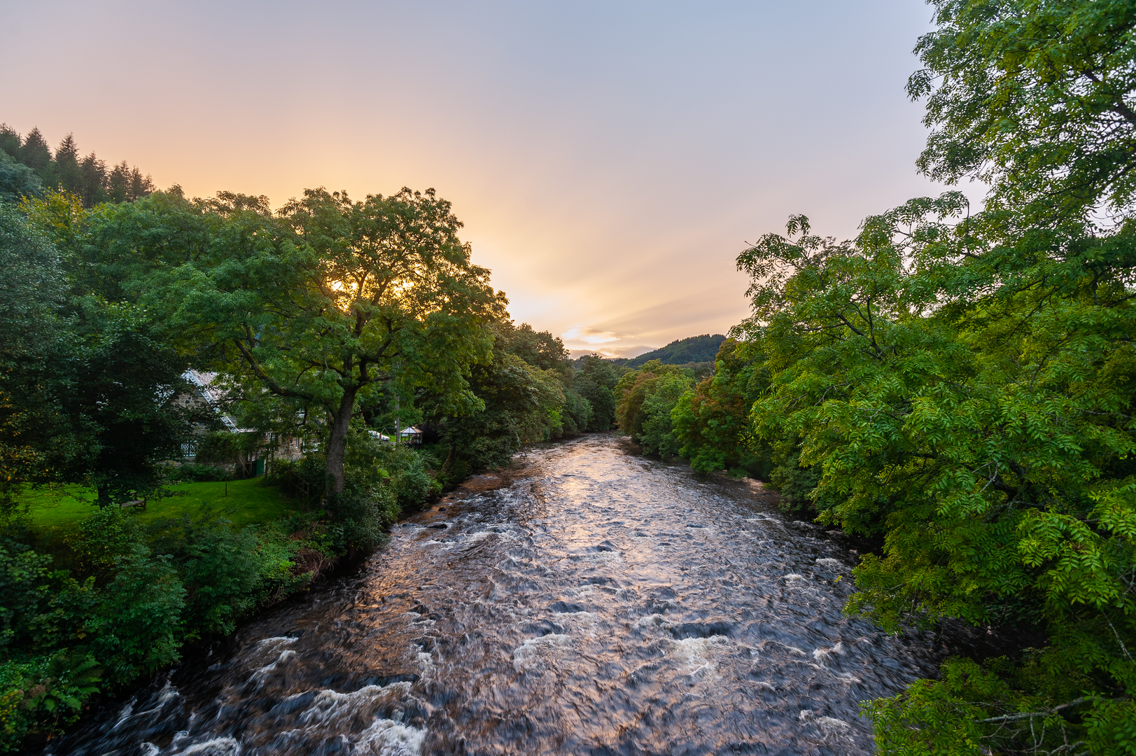
This is a short but rewarding hill-and-woodland circuit above Callander, Stirling, climbing to the crags and cairn that overlook the town and the Highland Boundary Fault. Expect roughly 6 km / 3.7 miles with about 300 m / 985 ft of ascent, which makes it feel more substantial than the distance suggests. The gradient is steady to steep in places, the paths can be rooty and rocky, and after rain the ground can turn slick, so a medium rating is a fair expectation. The usual start point is the Callander Crags car park on Bracklinn Road, Callander, just above the town and close to the Bracklinn Falls approach. (forestryandland.gov.scot)
The route typically begins in mixed woodland, where the climb starts almost immediately. Early on, the trail feels sheltered and enclosed, weaving through forest with short, sharper pulls that gain height quickly. This first section is where many walkers notice the effort most: although the overall distance is modest, the ascent is concentrated enough to raise the heart rate. Underfoot, expect compact earth, stones, exposed roots, and occasional muddy patches, especially in wetter weather. Good footwear is worthwhile, and trekking poles can help on the descent if the surface is greasy. (forestryandland.gov.scot)
What to expect on the climb
As the route rises out of the trees, the character changes from woodland walk to open crag-top outing. The higher ground gives broad views over Callander, the surrounding farmland to the south, and the more rugged hills and lochs of the Trossachs to the north. One of the main landmarks on this loop is the Queen’s Jubilee Cairn, standing at about 343 m / 1,125 ft above sea level. It is often the visual and emotional high point of the walk, and a natural place to pause if conditions are clear. (lochlomond-trossachs.org)
The cairn itself carries local historical interest. It was originally built in 1897 to mark Queen Victoria’s Diamond Jubilee and was later restored in 2012 to commemorate Queen Elizabeth II’s Diamond Jubilee. That gives the walk a small but distinctive cultural layer: this is not just a viewpoint, but a hilltop landmark tied to more than one period of British history. (visitcallander.uk)
The loop then continues across and around the crags before descending back through forest. On the way down, take care on loose stones and damp sections, as this is where slips are most likely. In windy weather, the exposed upper section can feel very different from the sheltered woods below, so an extra layer is sensible even on a mild day.
Landscape, geology and wildlife
This walk sits in a particularly interesting geological setting. The crags are part of the dramatic line associated with the Highland Boundary Fault, the major geological divide separating the Highlands from the Lowlands. Forestry and Land Scotland describes this rocky ledge as having formed when ancient continents collided around 390 million years ago, which helps explain why the views here feel like a transition zone between two different Scotlands. (forestryandland.gov.scot)
Nature changes noticeably with elevation. Lower down, the woodland supports common forest birds such as robins, tits, chaffinches and woodpeckers, while the more open upper slopes can attract raptors and other upland species. Red squirrels are present in parts of the wider Trossachs woodlands, and deer may be seen at quieter times, especially early or late in the day. As always, wildlife sightings are never guaranteed, but this is a good route for walkers who enjoy combining a short hill climb with woodland birdlife and open viewpoints. The forest setting also means midges can be a nuisance in still, damp summer conditions.
Historical significance of the area
Callander is often described as a gateway to the Highlands, and that identity is part of what makes this walk interesting. The town grew as a tourism hub in the 19th century, helped by transport links and by Victorian enthusiasm for Highland scenery. The wider area around Callander also has deep historical layers, from old routeways through the Trossachs to nearby heritage features connected with the town’s railway era and earlier settlement. The crags themselves have long been part of the town’s backdrop, and the cairn reinforces their role as a local landmark rather than just a scenic hill. (lochlomond-trossachs.org)
For navigation, it is best to check the route carefully on HiiKER before setting out, especially if you plan to combine the loop with nearby paths toward Bracklinn Falls or other Callander walks.
Getting to the start
By car, head for Callander Crags car park, Bracklinn Road, Callander, FK17 8EQ area. Forestry and Land Scotland notes that from the main road through Callander, you follow Bracklinn Road for about 500 metres / 0.3 miles, where the car park is signposted on the left. This is the most practical

Surfaces
Unknown
Asphalt
Dirt
Paved
Comments and Reviews
User comments, reviews and discussions about the Callander Craig and Cairn Loop, Scotland.
average rating out of 5
0 rating(s)