Download
Preview
Add to list
More
8.8 km
~2 hrs 6 min
214 m
Loop
“A windswept moorland circuit above Unst rewards confident walkers with vast seas, skies, and solitude.”
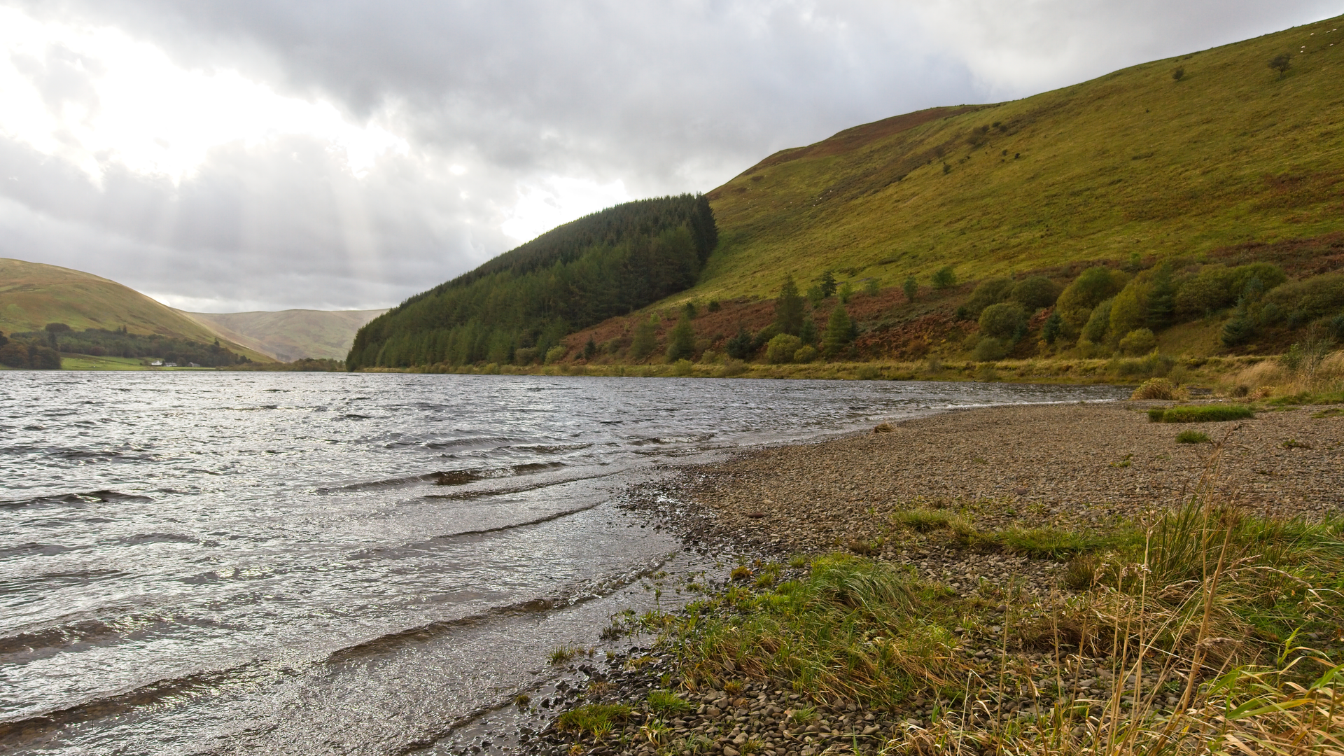
This medium-grade loop explores the open hill ground above Whalwick and Haroldswick on Unst, linking a string of rounded tops and broad moorland shoulders for a walk of about 9 km / 5.6 miles with roughly 200 m / 656 ft of ascent. Expect a route that feels bigger and wilder than the numbers suggest: the gradients are generally manageable, but the ground can be rough, wet, and pathless in places, with peat, heather, short cropped grass, and occasional boggy sections slowing progress. On a clear day, the reward is a wide sweep of views over northern Unst, the surrounding voes, and the exposed Atlantic and North Sea coasts beyond. The hike is best suited to walkers comfortable with basic hill navigation and changing island weather, and HiiKER is the best tool to have open before setting out.
The start is best thought of as being near Whalwick / Haroldswick in northern Unst, with the nearest obvious services and landmarks around Haroldswick, Unst Heritage Centre, Haroldswick, ZE2 9ED, and the nearby road network at the north end of the A968. Haroldswick is one of the most practical reference points on Unst for parking, supplies, and orienting yourself before heading onto the hill. The island itself is reached by road and two inter-island ferries: from mainland Shetland you drive the A970/A968 to Toft, take the ferry to Ulsta on Yell, continue north to Gutcher, then take the ferry to Belmont on Unst, and follow the A968 north toward Haroldswick. Shetland Islands Council publishes the current Yell–Unst ferry timetable, and Unst is reached through Yell rather than directly from mainland Shetland. (shetland.gov.uk)
Public transport is possible, though it takes planning. Bus links on mainland Shetland connect with the ferry system, and local services operate on Unst, but frequencies can be limited and are closely tied to ferry timings. Haroldswick and Baltasound are among the settled places on Unst served by local transport and community services, so they are the most realistic access points if arriving without a car. Because island timetables can change seasonally, it is worth checking the latest ferry and bus information before committing to the walk. (shetland.gov.uk)
What the route feels like
From the low-lying crofting land near Whalwick and Haroldswick, the route rises onto open moor where the sense of settlement quickly falls away. The first climbing is usually the steadiest part of the day, gaining height over springy turf and heath rather than on engineered trail. With only around 200 m / 656 ft of total ascent spread across the outing, this is not a relentlessly steep walk, but the uneven ground makes it feel more serious than a simple lowland loop. In wet weather, peat hags and saturated patches can make progress noticeably slower.
The high points around North Snuckle, Scrae Field, and Tau Field are not dramatic peaks in the alpine sense; they are broad, exposed uplands typical of Shetland, where the landscape is defined by space, wind, and long horizons rather than sharp rock architecture. That

Comments and Reviews
User comments, reviews and discussions about the Kame of Whalwick, North Snuckle, Scrae Field and Tau Field Loop, Scotland.
average rating out of 5
0 rating(s)