
Download
3D Flyover
Add to list
More
2.1 km
~26 min
16 m
Out and Back
“Sea, sky, and ancient stone combine on Mousa in a hauntingly gentle island crossing.”
This is a short, easy outing on the island of Mousa in Shetland, built around one of the most remarkable prehistoric structures in Britain. The walk is only about 2 km / 1.2 miles with virtually no ascent, so it suits most walkers who are comfortable on uneven coastal ground. Although the elevation gain is close to 0 m / 0 ft, the route still deserves respect because the island is exposed, the weather can change quickly, and the ground can be wet, rough, or slippery in places. The practical start point is the Mousa ferry landing on the west side of the island, reached by seasonal passenger boat from Leebitton, Sandwick, Shetland, ZE2 9HP, the usual mainland departure point signed for Mousa. (mousa.co.uk)
Getting there takes a little planning because the walk begins with a boat crossing rather than a roadside trailhead. By car, the usual approach is to drive south from Lerwick on the A970 for roughly 16 km / 10 miles, then turn at Sandwick and follow signs for the Mousa boat departure at Leebitton. By public transport, the number 6 bus from Lerwick or Sumburgh can connect with sailings, but timings need to be checked carefully because the boat is seasonal and operates to a schedule. Booking ahead is sensible, especially in the main visitor season. (mousa.co.uk)
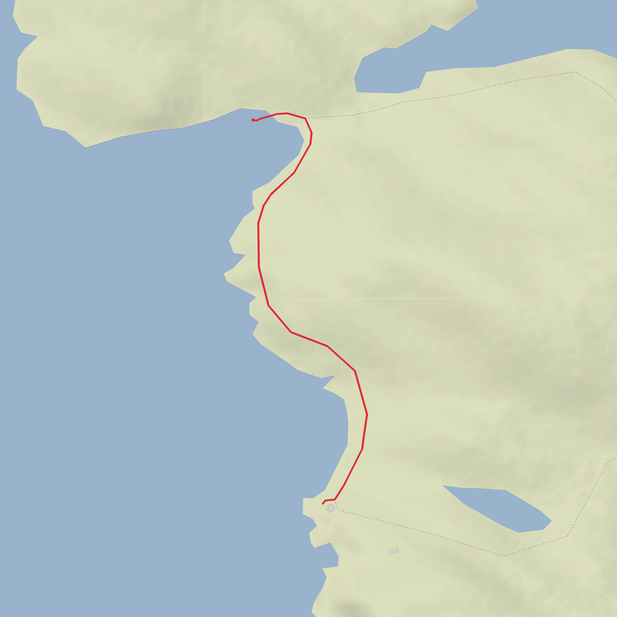
The walk itself is gentle and straightforward. From the landing area, the route heads inland and then across the low-lying island toward the broch, with open views over Mousa Sound almost immediately. Because the island is small and the terrain is not mountainous, this is less about climbing and more about atmosphere: sea, sky, moorland, and archaeology all arrive at once. The path is generally easy to follow, but it can be faint or boggy in places, so having the route loaded in HiiKER is useful for staying on the designated line and judging time back to the boat.
What to expect on the route
The first part of the walk is across exposed coastal grassland and heath, with little shelter from wind. Even on a short route, waterproof layers and sturdy footwear are worth bringing. In dry weather, the walking is uncomplicated; after rain, expect soft patches and slick ground around worn sections of path. Since the island is low and open, the sense of distance is shaped more by weather and footing than by gradient.
As you move toward the broch, the landscape feels spare and elemental. Small lochs, rough pasture, and maritime vegetation define the island, and the sea is never far away. The route is often described as a circular walk around the middle part of Mousa, and many visitors combine the direct walk to the broch with a little extra wandering if ferry timings allow. (shetland.org)
The broch and the island’s history
The great landmark is, of course, the Broch of Mousa, widely regarded as the best-preserved broch in Scotland and the tallest surviving example in Britain, with drystone walls rising to over 13 m / about 43 ft. It dates to the Iron Age and is an extraordinary example of double-walled stone construction, built without mortar and still standing after roughly two millennia. Its survival is part of what makes this walk so memorable: instead of low ruins, you encounter a tower that still conveys the scale and ambition of its builders. (historicenvironment.scot)
Historically, brochs are among the most distinctive ancient structures in northern Scotland, especially in Shetland, though their exact role is still debated by archaeologists. They may have served as defended residences, symbols of status, or both. Mousa’s position beside a sheltered sound would have been important in a seafaring landscape where movement by small boat linked communities. The site is also woven into Norse tradition and later historical references, which adds another layer to the sense that this small island has been significant for a very long time. (en.wikipedia.org)
If access is permitted when you visit, the broch interior can be explored carefully. Take extra care on stone surfaces, especially in damp weather, and supervise children closely. Conditions and access arrangements can change, so it is wise to check current visitor information before setting out. (historicenvironment.scot)
Wildlife and nature
Mousa is not only an archaeological site but also an important wildlife island. The surrounding waters are known for harbour porpoise, and seals are commonly associated with the area as well. Birdlife is a major draw: Mousa is especially famous for its breeding storm petrels, and the island has long been recognized for its importance to seabirds. If you are visiting in the right season, the combination of birdlife, open sea views, and ancient stonework is a major part of the experience.
Comments and Reviews
User comments, reviews and discussions about the Broch of Mousa, Scotland.
average rating out of 5
0 rating(s)


