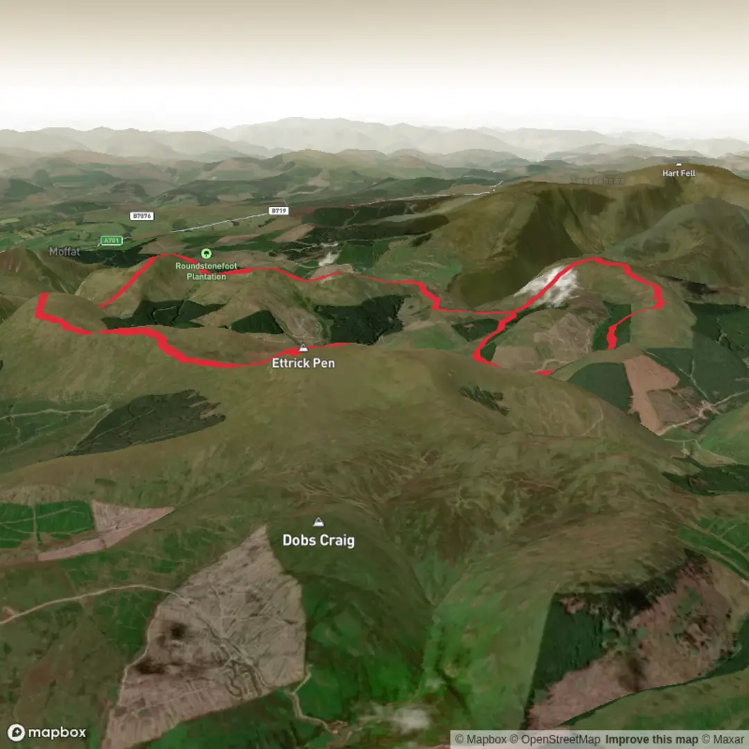
White Shank, Smidhop Hill, Capel Fell, Wind Fell, Hopetoun Craig and Ettrick Pen Loop
Download
3D Flyover
Add to list
More
14.3 km
~3 hrs 52 min
614 m
Loop
“A sweeping, weather-bared horseshoe of quiet Ettrick summits with vast views and serious moorland solitude.”
This medium-grade upland loop explores one of the broadest, quietest hill circuits in the Ettrick Hills, linking White Shank, Smidhop Hill, Capel Fell, Wind Fell, Hopetoun Craig and Ettrick Pen in a high, rolling horseshoe above the head of the Ettrick Valley. Expect around 14 km / 8.7 miles with roughly 600 m / 1,970 ft of ascent, though the feel of the day is often bigger than the numbers suggest because much of the route is exposed, grassy and remote, with long stretches between obvious escape points. The hills here rise in a connected chain, with Capel Fell at 678 m / 2,224 ft, Wind Fell at 665 m / 2,182 ft, Hopetoun Craig at 632 m / 2,073 ft, Smidhop Hill at 644 m / 2,113 ft, White Shank at about 622 m / 2,041 ft, and Ettrick Pen the highest point on this circuit at 692 m / 2,270 ft. (en.wikipedia.org)
The usual start is at the turning area and informal parking near Potburn at the head of the Ettrick Valley, southwest of Ettrick village, which is the best-known access point for the Ettrick Hills horseshoe. This lies at the end of a single-track road that continues roughly 10 km / 6.2 miles beyond Ettrick village toward the valley head. If you are driving, approach via Selkirk and Ettrick, then continue up the narrow road with passing places to the parking/turning area near Potburn. Public transport is very limited here; published route information for this hill circuit notes no practical public transport close to the start, so most walkers should plan on arriving by car or arranging a taxi from Selkirk or the wider Borders. (walkhighlands.co.uk)
The terrain is mostly hill path, ATV track, cropped grass, peat and open ridge walking. Underfoot, the route can feel straightforward in dry weather but much more serious in mist, after rain, or in strong wind. Several of these summits are broad and not always sharply defined, so this is a route where accurate navigation matters, especially around Smidhop Hill and Wind Fell where the highest ground can be subtle rather than dramatically pointed. HiiKER is the navigation tool to have loaded before setting out, and a map-and-compass backup remains sensible on these open moors. (getlostmountaineering.co.uk)
What the route feels like
From the valley head, the climb begins steadily onto the western side of the horseshoe, gaining height over open slopes toward White Shank and Smidhop Hill. This opening section is where the route quickly leaves the valley behind and starts delivering wide views back down Ettrick Water. White Shank is more of a shoulder than a dramatic summit, but it gives an early sense of the character of the day: broad ridges, long sightlines and a feeling of space rather than rocky drama. Smidhop Hill follows on the same high ground and is similarly understated, with the summit area blending into the ridge. (walkhighlands.co.uk)
Capel Fell is the first major top of the circuit and one of the most significant hills in the range. It stands prominently in the Ettrick Hills and is often combined with neighboring summits on long ridge traverses. The approach is generally grassy and rounded rather than technical, but the exposure to weather becomes more noticeable here. In clear conditions, the ridge gives expansive views across the Southern Uplands, while in poor visibility the broad summit plateau can feel featureless. (en.wikipedia.org)
After Capel Fell, the route trends onward toward Wind Fell, crossing high moorland near the line of the Southern Upland Way before continuing over another broad summit area. Wind Fell is not always marked by a striking cairn, so walkers should pay attention to bearings and mapping rather than expecting an obvious summit cone. The ridge then undulates toward Hopetoun Craig, where the ground begins to turn the eye toward Ettrick Pen, the final and highest summit of the loop. (getlostmountaineering.co.uk)
Ettrick Pen is the standout viewpoint of the day. It has long been recognized as one of the principal hills of the Ettrick range, and older references record that it was known by more than one name in the past, reflecting the way these uplands sat between different local districts and traditions. From here, the descent usually drops back toward the valley by way of broad grassy slopes, with the landscape opening out toward the upper Ettrick Water and the lonely pastoral country below. (en.wikipedia.org)
Landmarks,
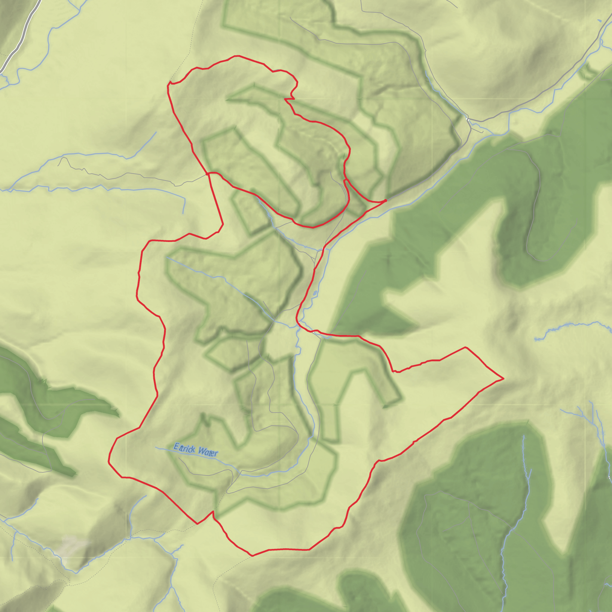
Surfaces
Unknown
Grass
Gravel
Comments and Reviews
User comments, reviews and discussions about the White Shank, Smidhop Hill, Capel Fell, Wind Fell, Hopetoun Craig and Ettrick Pen Loop, Scotland.
average rating out of 5
0 rating(s)
