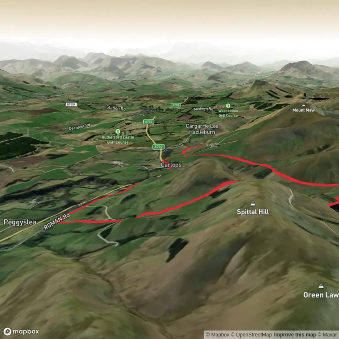
North Esk Reservoir, Fairlie Hope, Peaked Craig and Hollow Haugh Loop
Download
3D Flyover
Add to list
More
9.4 km
~2 hrs 16 min
237 m
Loop
“A richly varied Pentland loop, shifting from shimmering reservoir shores to rugged, secluded valley folds.”
This 9 km / 5.6 mile loop in the southern Pentland Hills gives you a varied half-day outing with reservoir shoreline, open hill tracks, rougher moorland sections, and a quieter river-valley feel around Hollow Haugh. With around 200 m / 656 ft of ascent, it sits well in the medium category: not especially long, but exposed in poor weather and uneven enough in places that you should treat it as a proper hill walk rather than a casual waterside stroll.
The route is generally associated with the North Esk Reservoir area in the Pentland Hills Regional Park, south of Edinburgh, with the most practical approach usually from the Nine Mile Burn / Carlops side rather than directly to the reservoir itself. A useful landmark for the start is Nine Mile Burn, near Penicuik, Midlothian, where walkers commonly begin Pentland routes and where there is a known parking area. The wider area has no bus service along the A70 on the north-west side of the Regional Park, so public transport is more limited than on the busier Pentland access points. Nine Mile Burn does have bus stops, but services can be infrequent, so it is worth checking current timetables carefully before setting out. (pentlandhills.org)
From the outset, expect broad pastoral scenery giving way to a more remote upland character. The first part of the walk usually follows estate tracks or clear hill paths toward North Esk Reservoir, allowing a fairly gentle warm-up before the route begins to feel more open and exposed. The reservoir itself is privately owned, and there is no vehicle access right to the water’s edge, which helps preserve the sense of quiet once you leave the road behind. (pentlandhills.org)
Terrain and what to expect
North Esk Reservoir is the visual anchor of the walk. The dam and shoreline create a strong sense of scale, especially when the water is full and the surrounding slopes are catching broken light. Around the reservoir, the walking is usually straightforward on tracks and grassy paths, but conditions can change quickly after rain. Expect wet ground, soft verges, and occasional muddy patches, especially where burns feed into the valley floor.
As the loop swings toward Fairlie Hope, the landscape becomes more intimate. In Scots place-names, a “hope” is an upland valley, which suits this section well: it feels enclosed, quieter, and more sheltered than the open reservoir edge. The burn lines and damp ground here support richer vegetation than you might expect in what can otherwise seem like a stark hill environment. NatureScot notes that the North Esk Valley is one of the botanically richest valleys in the Pentlands, with nationally important lowland acid grassland, flushes, valley fen, and wet ground around the Fairlie Hope Burn. (pentlandfriends.org.uk)
The climb toward Peaked Craig is where the route starts to feel more rugged. This is not a huge ascent, but it is enough to raise the heart rate, and the ground can be rougher underfoot with stonier sections and short steeper pulls. Peaked Craig is a notable geological feature rather than a major summit, described in University of Edinburgh teaching material as a volcanic remnant that resisted erosion. That gives this part of the walk a more dramatic shape than the modest elevation figures suggest. (geos.ed.ac.uk)
From there, the loop trends toward Hollow Haugh, where the character changes again. “Haugh” is a Scots word for flat meadow-like ground beside a river, and that is a good clue to the terrain: lower, softer, and often wetter underfoot than the higher sections. This part of the route can feel pleasantly secluded, with the river valley and surrounding folds of land screening out the wider world. (swap.nesc.gla.ac.uk)
Navigation, exposure
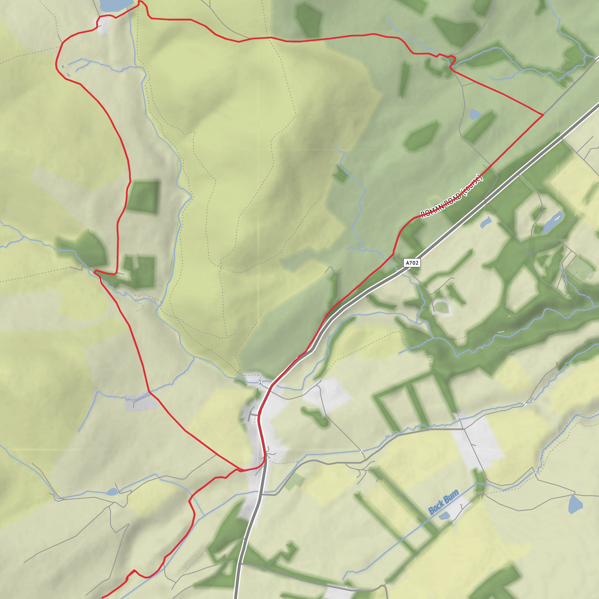
Surfaces
Unknown
Dirt
Asphalt
Unpaved
Comments and Reviews
User comments, reviews and discussions about the North Esk Reservoir, Fairlie Hope, Peaked Craig and Hollow Haugh Loop, Scotland.
average rating out of 5
0 rating(s)
