Download
3D Flyover
Add to list
More
10.9 km
~2 hrs 40 min
305 m
Loop
“Rolling Borders hills blend pastoral calm, airy panoramas, and reiver-haunted history on a rewarding loop.”
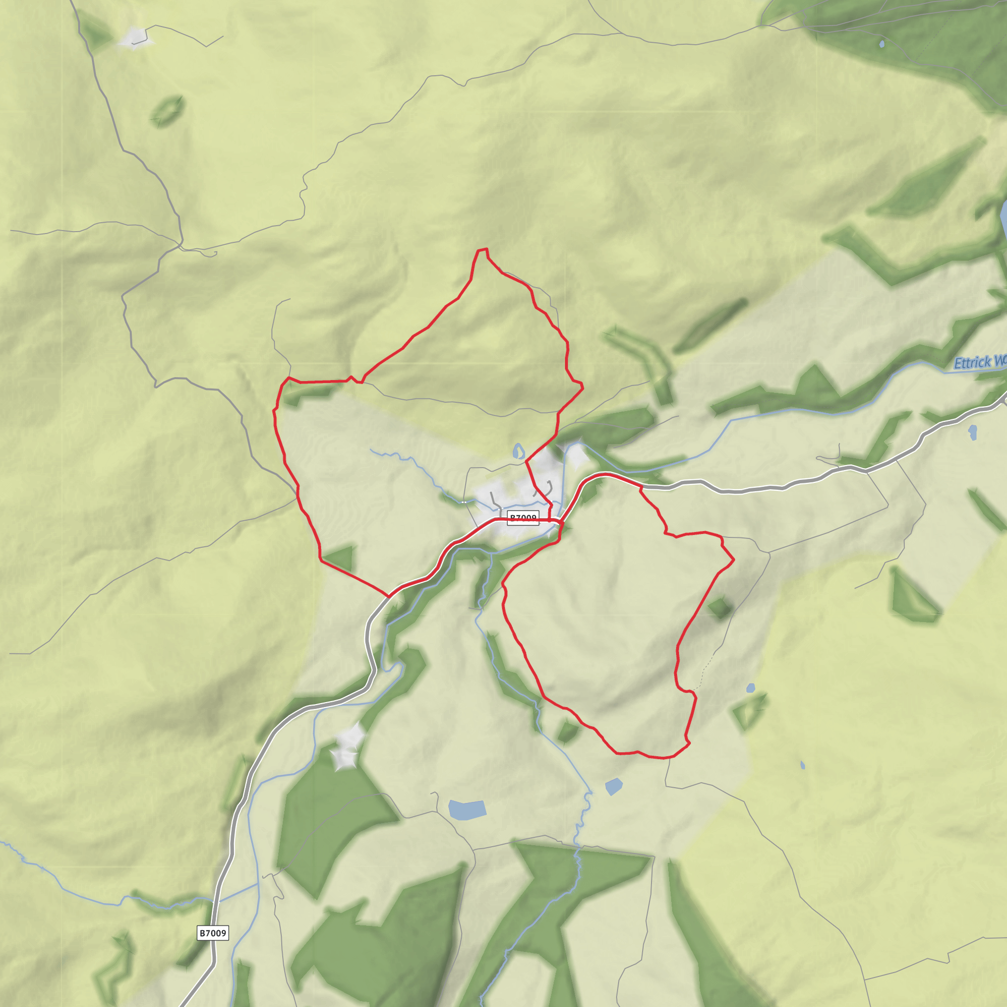
This medium-grade circuit in the Ettrick Valley packs a lot into roughly 11 km / 6.8 miles, with about 300 m / 985 ft of ascent. It explores a compact group of rounded Borders hills above Ettrickbridge, giving wide views over Selkirkshire and the surrounding valleys while linking pastoral lower ground with open, breezier tops. The route is best understood as a hill-and-farmland loop rather than a mountain day: expect grassy tracks, field paths, gates, and stretches where the line of travel can feel less obvious than on waymarked upland trails. Using HiiKER before setting out is a good idea, especially if visibility is poor.
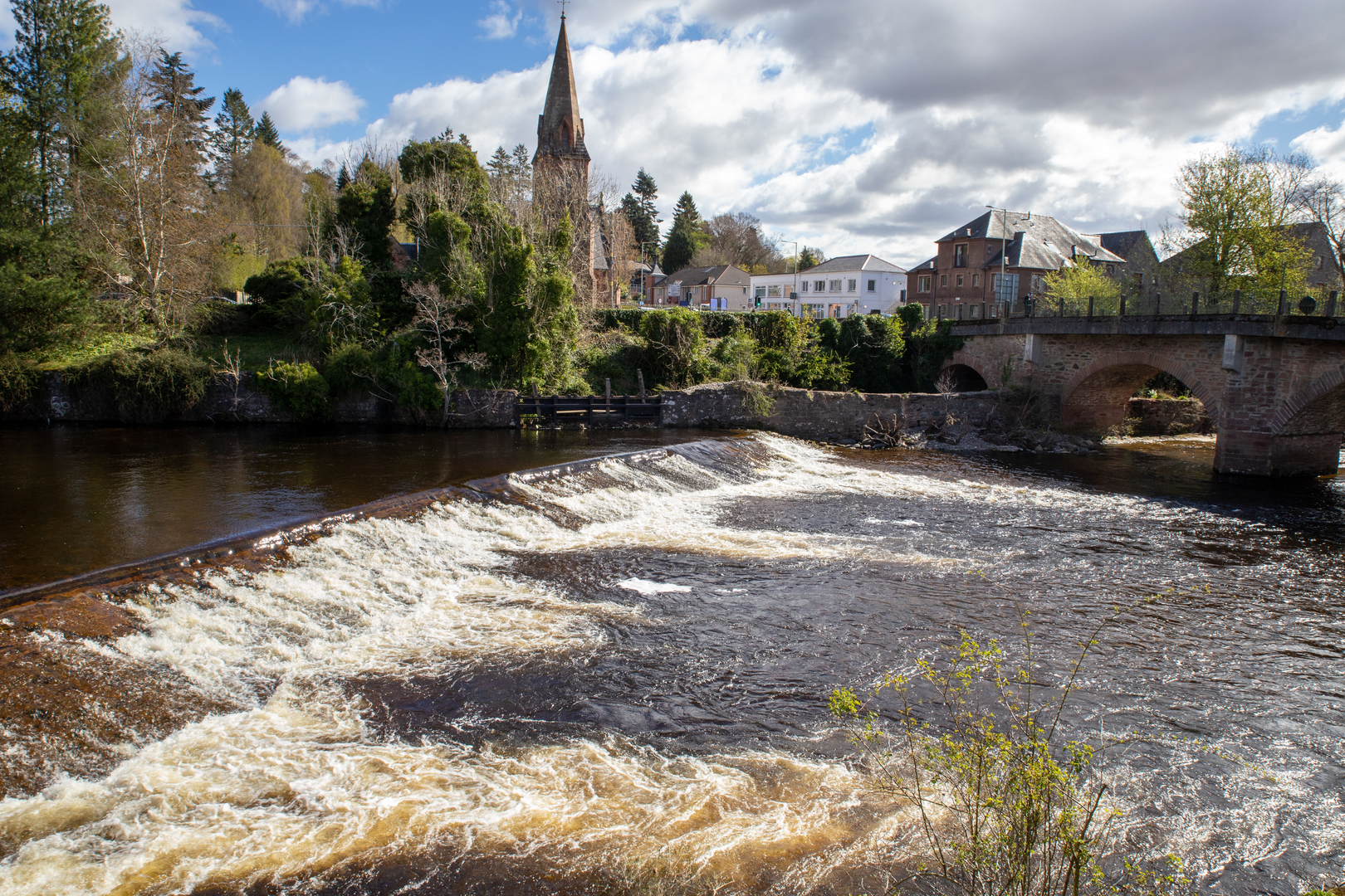
The walk is near Ettrickbridge, Selkirk, Scottish Borders, TD7 5JN, with the most obvious landmark at the start being the Cross Keys Inn on Main Street, Ettrickbridge. Ettrickbridge lies about 11 km / 7 miles southwest of Selkirk. The surrounding hills include Howford Hill at about 304 m / 997 ft, with nearby Helmburn Hill slightly higher ground in the same cluster. (crosskeysinnettrickbridge.com)
From the village, the route typically begins gently enough, crossing or skirting enclosed pasture before climbing onto the first broad shoulder. The ascent is not especially technical, but it is steady, and the cumulative up-and-down between Kirkhope Hill, Howford Hill and Helmburn Hill is what gives the walk its medium feel. On dry days the going is usually straightforward; after rain, grassy slopes and farm tracks can become slick, and lower fields may be muddy or churned by livestock. One local walking source specifically notes that there can be cattle or bulls in some fields on the Howford Hill and Helmburn Hill circuit, so extra care is sensible, particularly with children. (howfordfarm.com)
Terrain and route character
The first half of the outing is often the most navigationally fiddly. Boundaries, sheep pasture, and faint trods can make the route feel more rural than wild, but once higher ground is reached the shape of the hills becomes clearer and the walking opens out. These are rounded Borders hills rather than craggy summits, so the reward is less about dramatic rock scenery and more about spaciousness: long views over the Ettrick Valley, the folds of the Southern Uplands, and, on a clear day, distant landmarks including the Eildon Hills. A local route description for the nearby Ettrickbridge circular via Howford Hill and Helmburn Hill highlights exactly those broad views over Selkirkshire, Ettrick and the Eildons. (howfordfarm.com)
Because the tops are relatively exposed for their height, wind can be a bigger factor than the numbers suggest. A 300 m / 985 ft ascent day here can feel much more serious in strong weather, especially when low cloud flattens the landscape and makes one grassy rise look much like the next. Waterproofs, an insulating layer, and confident route-following matter more than the modest elevation might imply.
Landmarks, history and atmosphere
One of the most significant nearby landmarks is Kirkhope Tower, a pele tower about 1 mile / 1.6 km northwest of Ettrickbridge. It is one of the defining historic features of this landscape and a reminder that the Borders were once a frontier region shaped by raiding, fortified dwellings, and shifting loyalties. Kirkhope Tower is associated with the Scott family and the wider story of the Border Reivers, giving the walk a strong sense of place even when the route itself stays mostly among hills and farmland. (kirkhopetower.co.uk)
The area around Ettrickbridge also carries literary weight. The Ettrick and Yarrow valleys are deeply tied to Border ballad tradition and to writers such as James Hogg, the Ettrick Shepherd, whose work is rooted in this landscape. Even without passing a major monument at every turn, the walk has that distinctly Borders blend of pastoral quiet, old tower houses, and long cultural memory. (scotlandstartshere.com)
A Geograph description from the slopes above the village notes views toward Helmburn Farm, Kirkhope Tower, and Old Kirkhope beyond Ettrickbridge, which helps explain
Surfaces
Unknown
Asphalt
Grass
Comments and Reviews
User comments, reviews and discussions about the Kirkhope Hill, Howford Hill and Helmburn Hill Knot, Scotland.
average rating out of 5
0 rating(s)
