
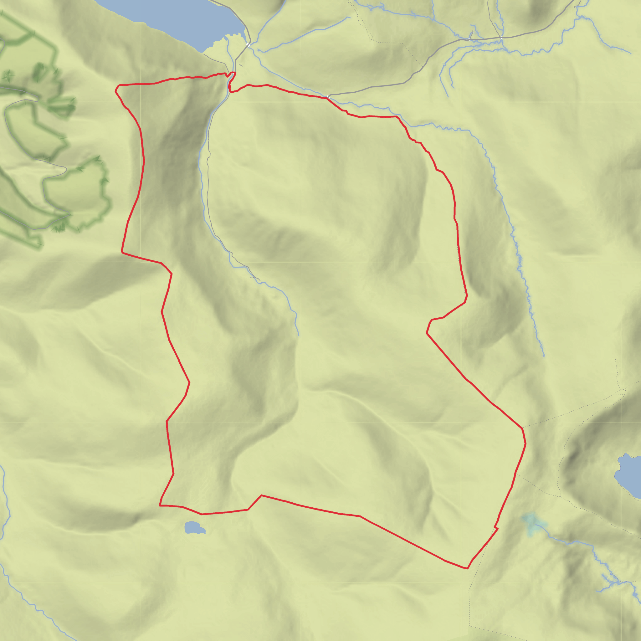
Garelet Hill, Erie Hill, Garelet Dod, Great Hill, Donald's Cleuch Head and Molls Cleuch Dod Loop
Download
3D Flyover
Add to list
More
14.7 km
~4 hrs 4 min
684 m
Loop
“A wild, rolling ridge day above Talla, where spacious summits and moorland solitude feel bigger in rough weather.”
This 15 km / 9.3 mile hill circuit sits in the Moffat Hills of the Southern Uplands, linking a long chain of rounded summits above the upper Talla and Moffat country. Expect a day of broad grassy ridges, peat hags, old boundary fences, and wide-open upland views rather than rocky scrambling. With around 700 m / 2,300 ft of ascent, the outing fits a solid medium-grade hillwalk: not especially technical in dry, settled weather, but serious enough that poor visibility, wind, and wet ground can make it feel much bigger. The named tops on the round include Erie Hill at about 690 m / 2,264 ft, Garelet Dod at about 698 m / 2,290 ft, Great Hill at about 774 m / 2,539 ft, Donald’s Cleuch Head at about 797 m / 2,615 ft, and Molls Cleuch Dod at about 785 m / 2,575 ft, all within the Moffat Hills group. (en.wikipedia.org)
The most practical trailhead for this round is usually Talla Linnfoots, the small parking area at the south-eastern end of Talla Reservoir, which is the usual access point for rounds over Erie Hill and Garelet Dod. That places the start near the head of the reservoir rather than at a formal village address. If you are converting the location to a recognisable landmark, Talla Linnfoots, near the south-east end of Talla Reservoir, south of Tweedsmuir in the Scottish Borders, is the clearest reference point. (en.wikipedia.org)
By car, the approach is generally via Tweedsmuir or the minor road network around Talla Reservoir. Roads are scenic but narrow and remote, so allow extra time and do not expect many services once you leave the main routes. If you are coming from farther south, many walkers also know the wider area from the A708 and Grey Mare’s Tail side near Moffat, but that is a different access corridor from the Talla start. (nts.org.uk)
Public transport is the weak point. There is no dependable direct service to the hill start itself, and these upland access points are notably remote. In practice, public-transport users usually need to reach a larger settlement such as Moffat or the Borders side first and then continue by taxi. Similar hill starts in the same Moffat Hills area, such as Grey Mare’s Tail, are explicitly noted as having no public transport to the start, which gives a good sense of how limited access is across this range. (walkhighlands.co.uk)
What the route feels like
From Talla Linnfoots, the day usually begins on estate ground or rough hill access before climbing onto the first broad ridge. The opening section tends to feel straightforward underfoot compared with what comes later, but it is still upland terrain: grass, heather, wet patches, and occasional pathless stretches. The first objective is often Garelet Hill, a subsidiary top of Erie Hill at about 681 m / 2,234 ft, before the ridge rises to Erie Hill itself. Erie Hill is one of the more compact tops on this circuit, and from here the shape of the day becomes clearer: a rolling traverse over a succession of domed summits with long views and little shelter. (en.wikipedia.org)
The onward leg to Garelet Dod is not especially difficult in dry weather, but this is where the route starts to show its character. The ridges are broad enough that they can feel deceptively simple, yet in mist they become awkward because the terrain offers few dramatic handrails. Fences and old walls can help with line-finding in places, but they should not be relied on as your only means of navigation. For planning and live route-following, HiiKER
Surfaces
Unknown
Grass
Comments and Reviews
User comments, reviews and discussions about the Garelet Hill, Erie Hill, Garelet Dod, Great Hill, Donald's Cleuch Head and Molls Cleuch Dod Loop, Scotland.
average rating out of 5
0 rating(s)


