Download
3D Preview
Add to list
More
3.3 km
~48 min
82 m
Out and Back
“A windswept cliff-top wander unveils Siccar Point, where sea, stone, and deep time collide.”
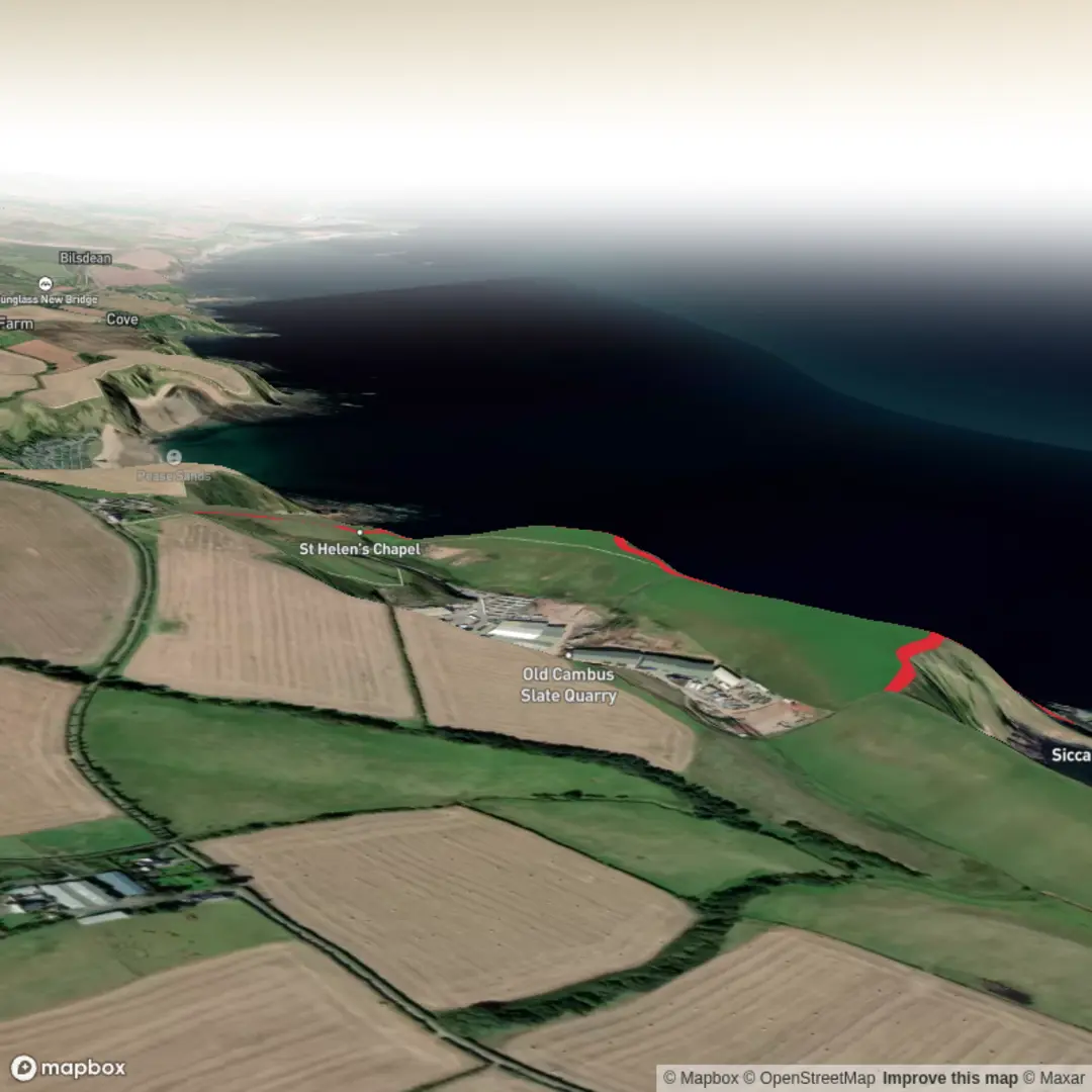
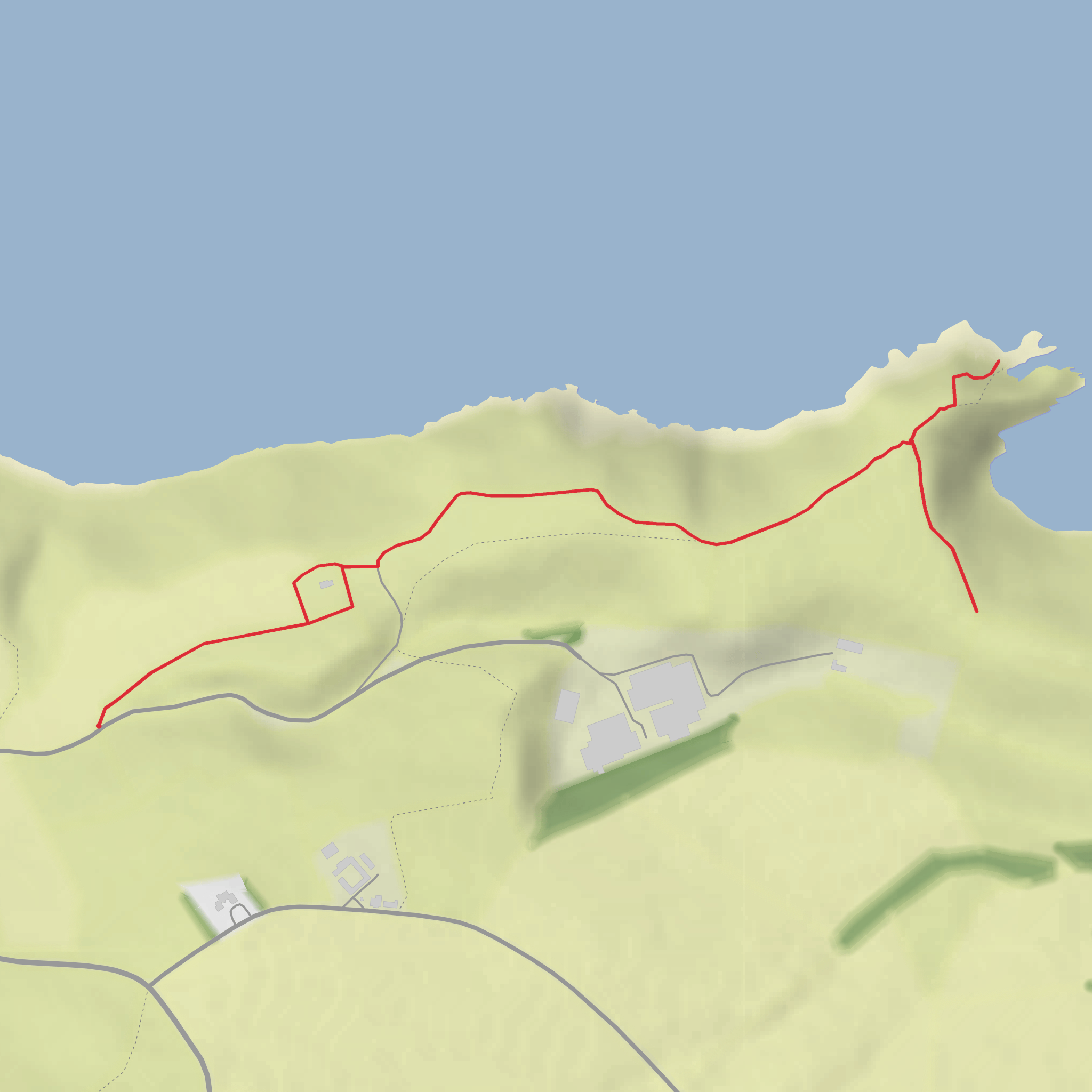
This short coastal walk leads to one of the most important geological viewpoints in the world, following the Deep Time Trail to Siccar Point on the Berwickshire coast near Cockburnspath, Scottish Borders. The main signed route is about 1.3 km (0.8 miles) each way on a mostly grassy, fairly level path, but many walkers will cover closer to 3 km (1.9 miles) in total once the return walk and short viewpoint spurs are included. Elevation gain is modest overall—roughly 100 metres (328 feet) at most if you include the undulating ground and short rises near the coast—yet the exposed setting and uneven turf make it feel more substantial than the numbers suggest. The trail is generally best suited to hikers comfortable with a medium-rated outing rather than a fully accessible promenade. (james-hutton.org)
The walk begins near the minor road leading toward ESG Drysdales from the A1107 Coldingham Road, with the nearest commonly used reference point being TD13 5AA near Cockburnspath, Scottish Borders, Scotland, close to the signed approach for Siccar Point. Event guidance for the trail identifies the start near grid reference NT 8013 7052 on that farm road approach, which is the most useful landmark for drivers and walkers heading to the trailhead. (geowalks.scot)
By car, the simplest approach is from Cockburnspath via the A1107, then onto the minor road toward Drysdales and the Siccar Point access. Parking in this area is limited and rural rather than a large formal trailhead lot, so it is wise to arrive prepared for a short roadside walk and to avoid blocking gates, farm access, or passing places. Public transport is possible but indirect: guidance connected with the trail notes that Borders Buses service 253 links Dunbar and Cockburnspath, after which walkers continue on foot toward the coast. Because rural bus timetables can change, checking the latest journey details before setting out is sensible. (geowalks.scot)
What the walk is like
From the start, the route heads out across open coastal farmland on a grassy path with wide skies and a strong sense of exposure. Under dry conditions the walking is straightforward, but after rain the ground can become slick, soft, and uneven. There are no major technical obstacles on the main trail, yet this is not a place to underestimate the weather: wind coming off the North Sea can be fierce, and the cliff-edge environment demands care, especially if visibility drops or the turf is wet. Using HiiKER for route planning is helpful here because the path is simple in concept but the open terrain can feel less defined in poor conditions.
The trail was created to improve access and interpretation at Siccar Point, with a sequence of stopping points that gradually explain the landscape and the scientific story behind it. Rather than a single destination reached all at once, the walk unfolds as a series of pauses, with quotations, interpretation, and viewpoints encouraging hikers to slow down and look outward as well as downward at the rock record. (james-hutton.org)
Landmarks and geological significance
The great landmark is Hutton’s Unconformity at Siccar Point, the rock exposure that helped transform human understanding of Earth history. In 1788, James Hutton visited this coast and recognized that the near-vertical older grey rocks below and the younger, more horizontal red rocks above were separated by an immense gap in time. The site became foundational to modern geology because it offered visible evidence that Earth’s history was vastly older than previously assumed. (edinburghgeolsoc.org)
Geologically, the contrast is striking even for non-specialists. The lower rocks were formed in an ancient ocean, while the younger red rocks above formed on land, and the boundary between them represents a gap of about 65 million years during which folding, uplift, erosion, and later deposition reshaped the landscape. This is the essence of “deep time,” and it is why Siccar Point is often described as one of the most significant geological sites on Earth. (edinburghgeolsoc.org)
The new viewpoint structure is a major feature of the walk, with seating, interpretation, and a model designed to help visitors understand what they are seeing from above. A second viewpoint about 200 metres (0.1 miles) farther south offers another angle on the coast and encourages a quieter, broader appreciation of the landscape beyond the main geological focal point. (james-hutton.org)
Nature, wildlife, and conditions
Although geology is the headline attraction, the surrounding coast has plenty of natural interest. Expect open grassland, sea air, cliff-top vegetation, and broad views over the North Sea. Seabirds are often part of the experience in this stretch of coast, and
Surfaces
Unknown
Grass
Comments and Reviews
User comments, reviews and discussions about the Deep Time Trail, Scotland.
average rating out of 5
0 rating(s)
