
Download
3D Flyover
Add to list
More
6.3 km
~1 hrs 42 min
266 m
Loop
“A short, punchy climb above Potburn reveals lonely ridges, sweeping Ettrick views, and deceptively wild moorland.”
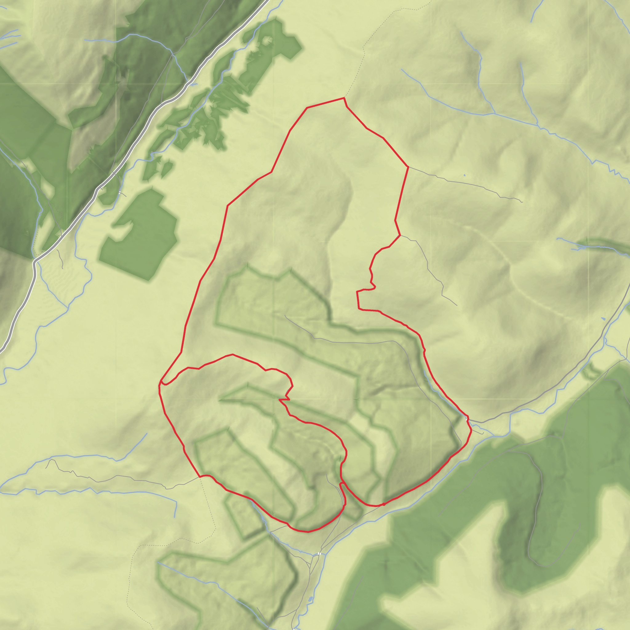
This medium-grade loop explores a quiet corner of the Southern Uplands near the road end above Potburn, close to Ettrick Head in the Scottish Borders. Expect roughly 6 km / 3.7 miles with about 300 m / 985 ft of ascent, packed into a relatively short outing, so it feels more strenuous than the distance alone suggests. The route climbs from the end of the public road near Potburn Farm onto open hillside, taking in Bught Hill and the broader shoulder leading toward Bodesbeck Law, a 665 m / 2,182 ft Donald in the Ettrick Hills. (walkhighlands.co.uk)
The start is best described as the road end and turning area above Potburn Farm at Ettrick Head, rather than a formal trailhead with facilities. This is a very remote upland setting at the head of the Ettrick Valley, reached by a long single-track road beyond Ettrick village. Walkhighlands notes limited parking near the turning circle at the road end, with some additional space a short distance back if needed, so arrive prepared for minimal infrastructure and no services. (walkhighlands.co.uk)
By car, the usual approach is through Selkirk, then Ettrickbridge and Ettrick, continuing all the way to the end of the public road near Potburn. Roads in this area are narrow and rural, and older local reporting on the district highlights that the Potburn road can be slow-going and affected by winter conditions. Public transport is limited: there are bus services into the wider Ettrick area from Galashiels via Scottish Borders Council routes, but there is no regular public transport to the actual road end at Potburn/Ettrick Head, so anyone arriving without a car should expect to combine bus travel with a long taxi transfer or a much longer walk-in. (bustimes.org)
What the route feels like
The first section usually follows a clear estate or forestry track climbing away from the road end. On the longer Ettrick Hills circuit, this same start is signposted for Bodesbeck Law, and after the initial track the route leaves the trees and becomes much less defined. For a shorter loop such as this one, that means a straightforward beginning followed by more open hillwalking over grass, heather, and occasionally wet ground. (walkhighlands.co.uk)
The climb onto Bught Hill comes fairly quickly, and although the total ascent is only around 300 m / 985 ft, it is concentrated enough to demand steady effort. Once above the lower track, the landscape opens dramatically, with broad views across the upper Ettrick country and toward the Moffat Water side of the hills. The terrain here is typical Southern Uplands upland ground: rounded, exposed, and often deceptively rough underfoot despite the smooth-looking contours from a distance. Walkhighlands specifically describes this area as having good track at first, then grassy going with rougher or boggier sections higher up. (walkhighlands.co.uk)
Navigation can become the main challenge in poor visibility. Faint paths, old boundary lines, and intermittent trods may help, but they should not be relied on as continuous trail. In mist, the broad backs of these hills can feel featureless, so careful route-finding is important. For planning and on-route mapping, use HiiKER and do not assume waymarking will guide you once you leave the lower track. (walkhighlands.co.uk)
Landmarks, views, and terrain
Bodesbeck Law is the dominant landmark of the outing and the most notable summit in this part of the ridge. It stands on the edge of the Ettrick Hills, part of the wider Southern Uplands, and forms the western end of the ridge running roughly parallel to the A708 corridor farther east. The summit itself is marked by a small cairn, and the surrounding hill country is defined by long ridges, old walls, burns, and a patchwork of open moor and forestry. (en.wikipedia.org)
One of the most distinctive visual contrasts on this walk is between the
Surfaces
Unknown
Gravel
Comments and Reviews
User comments, reviews and discussions about the Bught Hill, Bodesbeck Law and Potburn Hass Loop, Scotland.
average rating out of 5
0 rating(s)
