
Download
3D Flyover
Add to list
More
12.4 km
~3 hrs 8 min
394 m
Loop
“A rewarding Borders hillwalk of moorland, old drove roads, and far-reaching Tweed valley views.”
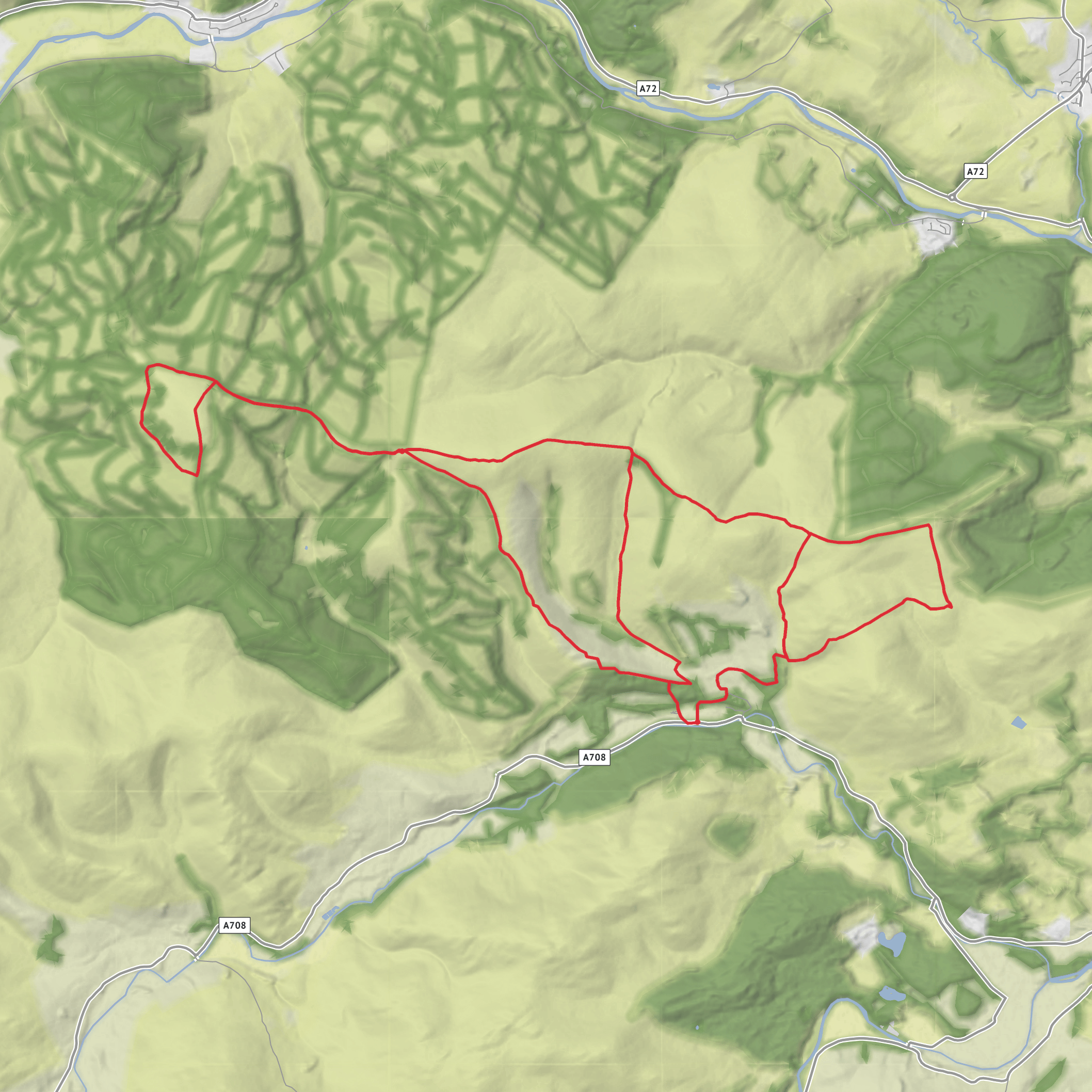
This medium-grade loop packs a lot into roughly 12 km / 7.5 miles, with about 400 m / 1,312 ft of ascent. Expect a hill day in the Scottish Borders that mixes broad moorland, old drove roads, open ridgelines, and long views over the Tweed valley and the surrounding Southern Uplands. The terrain is usually a combination of estate tracks, hill paths, and rougher moorland sections, so while the distance is modest, the route still feels like a proper upland outing rather than a casual stroll. In poor weather, the exposed ground around the higher sections can feel much more serious than the numbers suggest, so this is best approached as a full hillwalk with waterproofs, warm layers, and reliable navigation on HiiKER. (hiiker.app)
The route sits in the hills between Innerleithen, Yair, and the ridges leading toward Brown Knowe and Lucken Head in the Scottish Borders. If your starting point data is incomplete, the most practical nearby access landmarks are Innerleithen High Street, Innerleithen EH44 6HA, and Yair Bridge on the A707 near Caddonfoot / Yair, both well-known approach points for walks on this side of the Southern Upland Way corridor. Innerleithen is a useful base for facilities, while Yair Bridge is a key landmark lower down in the valley. (sobt.co.uk)
What the walk feels like
The first part of the outing is typically the most sustained effort, gaining height out of the valley and onto open ground. A 400 m / 1,312 ft ascent over a 12 km / 7.5 mile loop usually means there will be at least one steady climb rather than constant gentle undulation, so hikers should be ready for a solid uphill section early or mid-route. Once above the lower slopes, the character changes: the walking opens out onto rolling upland terrain with wide horizons, heather, rough grasses, and a sense of space that is very typical of the Borders hills. (hiiker.app)
Around Broomy Law and toward Lucken Head, the landscape is more about breadth than drama. These are rounded hills rather than craggy mountains, but they offer excellent panoramic views when the weather is clear. You can expect sightlines across the Tweed valley, toward the Three Brethren area, and over a patchwork of forestry, pasture, and moor. On a bright day, this is the kind of route where the scenery keeps changing subtly as you move along the ridge, with one side dropping toward wooded valleys and the other stretching into open uplands. (komoot.com)
Terrain, conditions, and navigation
Underfoot, this is likely to be mixed and occasionally demanding. Good tracks and established paths are common in this part of the Borders, but they can be muddy after rain, and moorland sections may be soft, peaty, or waterlogged in places. Even where paths are clear, mist can flatten the landscape and make junctions less obvious on broad ridges. That matters especially around feature-light upland ground, where a route that feels straightforward in sunshine can become much slower in low cloud. Using HiiKER before setting out and during the walk is a sensible way to stay on top of turns, access points, and escape options. (sobt.co.uk)
Because the route is rated medium, most
Surfaces
Unknown
Ground
Comments and Reviews
User comments, reviews and discussions about the Broomy Law and Lucken Head Loop, Scotland.
average rating out of 5
0 rating(s)


