Download
Preview
Add to list
More
3.8 km
~47 min
18 m
Loop
“A gentle countryside circuit with modest hilltop views, quiet character, and small rewards for slower pacing.”
This easy loop of about 4 km (2.5 miles) is the kind of walk that suits a relaxed outing rather than a big mountain day: gentle terrain, very little overall ascent, and a route that is usually more about open views, local landscape character, and a pleasant circuit than about sustained climbing. With an elevation gain of roughly 0 m / 0 ft, it is well suited to families, casual walkers, and anyone wanting a shorter leg-stretcher without technical demands. Because the route information provided is limited and the exact trailhead location is unclear, it is worth checking the latest mapped line on HiiKER before setting out so you can confirm the start point, path junctions, and any local access notes.
The walking itself should feel straightforward. On a loop of this length, most hikers can expect somewhere around 1 to 1.5 hours of moving time, with longer if stopping for views, wildlife watching, or photographs. Easy routes like this often combine field-edge paths, estate or parkland tracks, low hill paths, or broad countryside footways, so footwear can be lighter than for a mountain hike, but waterproof shoes are still a sensible choice if there has been recent rain. Even on a nearly flat route, wet grass, muddy corners, and slick leaves can make short sections more slippery than the profile suggests.
What to expect on the route
With two named hills in the circuit, the landscape is likely to be gently undulating rather than completely level, even if the total ascent is negligible. Expect the route to alternate between slightly raised ground and easier connecting sections, giving a sense of moving from one local high point or ridge-like area to another without any major climb. On a 4 km (2.5 mile) loop, landmarks tend to come quickly, so it helps to keep an eye on junctions and direction changes rather than assuming the path will always be obvious.
Short countryside loops like this often reward slower pacing. Look out for hedgerows, mature trees, open pasture, and patches of scrub that can support common birdlife such as robins, blackbirds, wrens, finches, and raptors overhead if the surrounding land is open enough. In quieter sections, rabbits and small mammals are often more noticeable than larger wildlife, especially early or late in the day. If the route passes through grazing land, keep dogs under close control and be prepared for muddy gateways and uneven hoof-churned ground.
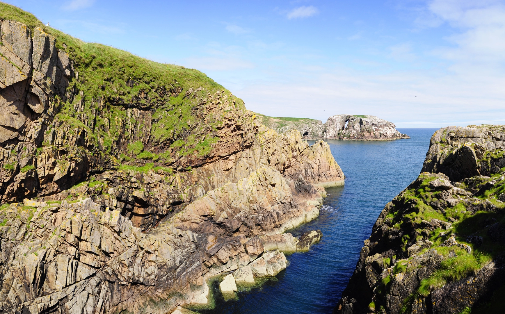
If there are open viewpoints from either North Hill or Berry Hill, they are likely to be modest but attractive rather than dramatic—good for taking in the surrounding countryside, nearby settlements, farmland patterns, and tree cover. On easy loops, these small elevated outlooks are often the main scenic payoff, especially in clear weather.
Terrain, access, and planning notes
Because the route is short and easy, many walkers will underestimate it and bring too little. Even for a 4 km (2.5 mile) outing, it is worth carrying water, a light waterproof layer, and an extra warm layer in cooler months. If the path crosses exposed ground, wind can feel sharper than expected despite the low elevation. In summer, sun protection may matter more than insulation, especially if much of the route is open.
Navigation should be simple in principle, but short loops can still be confusing where multiple farm tracks, permissive paths, or intersecting footpaths meet. HiiKER is the best tool to use for confirming the exact line of the loop and checking whether the walk is waymarked. If the route includes stiles, gates, or narrow path sections, allow a little extra time if walking with children or anyone with limited mobility. A route with almost no climbing may still be unsuitable for wheels if there are kissing gates, rough grass, or muddy pinch points.
Parking and access depend entirely on the exact trailhead, which was not included here. If you are driving, the practical approach is to identify the nearest signed parking area, roadside lay-by, village car park, or access point shown on HiiKER and then confirm whether any restrictions apply. If using public transport, the nearest bus stop or rail station will depend on the surrounding settlement, so it is best to plan from the mapped start location rather than from the hike name alone.
Landscape and historical character
Routes with names like North Hill and Berry Hill often pass through long-settled rural landscapes where the history is tied less to a single monument and more to land use over centuries: farming, boundary-making, woodland management, and local trackways linking one small rise or field system to another. If the walk lies in historic countryside, features to watch for may include old hedgebanks, stone walls, veteran trees, field boundaries, remnants of estate planting, or lanes that have clearly served as local routes for generations.
Berry-related place names can sometimes point to old hedgerow fruiting plants, berry-bearing scrub, or simply older naming traditions tied to the appearance or use of the land. “North Hill” is often a directional local name rather than a dramatic summit, but such places can still have historical importance as lookouts, boundary markers, or reference points in parish and agricultural history

Surfaces
Unknown
Asphalt
Comments and Reviews
User comments, reviews and discussions about the North Hill and Berry Hill Loop, Scotland.
average rating out of 5
0 rating(s)