Download
3D Flyover
Add to list
More
7.4 km
~1 hrs 44 min
157 m
Loop
This 7 km (about 4.3 mile) loop on Rousay in Orkney links three rounded high points—Kerfea Hill, the Knowes of Cuppers of Whirliegar, and Brown Hill—into a compact moorland circuit with roughly 200 m (about 656 ft) of ascent. The terrain is open, exposed, and often quieter than the island’s better-known archaeological shoreline walks, so it suits hikers who are comfortable with faint paths, rough grass, and changeable weather. The route sits in the island’s north-western interior, near the Wasbister and Sourin area, with the nearest obvious landmark being the small settlement of Wasbister on Rousay. The wider area is mapped by local walking material that shows Kerfea Hill and Brown Hill among the inland features of western Rousay. (stromnessmuseum.org.uk)
Getting to the start takes a little planning because Rousay is an island. From Orkney Mainland, the usual access is via the Tingwall ferry terminal near Evie, with Orkney Ferries operating the Rousay, Egilsay and Wyre service to Brinian on Rousay. Official visitor information notes that Tingwall is about 20 minutes by road from both Kirkwall and Stromness, and that public bus connections meet most sailings. If driving, book the ferry in advance if you want to take a vehicle across. Once on Rousay, you will usually need to continue by car, bike, or a pre-arranged local transfer toward the Wasbister/Sourin side of the island, as inland trailheads are not as directly served as the pier area. (ferries.orkney.com)
The walk begins on gently rising ground rather than with a dramatic climb, and that is part of its character. Rousay’s interior is a patchwork of moor, rough pasture, peat-stained hollows, and low ridges, so the first 1.5 to 2 km (roughly 1 to 1.25 miles) tend to feel like a gradual transition from settled farmland into more open hill country. Underfoot, expect springy turf, occasional wet patches, and sections where the line of travel matters more than any engineered trail. In poor visibility, this is the kind of route where careful navigation becomes important, and HiiKER is the best tool to have loaded before setting out.
What the terrain feels like
The ascent to Kerfea Hill is modest but steady, gaining a good portion of the day’s elevation without ever becoming mountainous. With only around 200 m of total climbing across the whole loop, the challenge comes less from steepness and more from exposure, footing, and wind. On dry days the route is straightforward for regular walkers; after rain, the moor can become soft and energy-sapping. Because the hills are broad-backed rather than sharply defined, mist can flatten the landscape and make junctions or turning points less obvious than they appear on a map.
From Kerfea Hill, the route continues across open upland toward the Knowes of Cuppers of Whirliegar and Brown Hill. This middle section is likely to be the most memorable part of the loop: wide views, a sense of space, and the feeling of crossing old pastoral ground that has changed little in structure for centuries. The “knowes” here are low rounded knolls rather than dramatic summits, but they give the walk texture and a constant sense of moving from one rise to the next. Brown Hill usually marks the high, airy latter half of the circuit before the route bends back toward lower ground. The cumulative effect is a walk that feels bigger than its mileage suggests. (stromnessmuseum.org.uk)
Landmarks, wildlife, and what to watch for
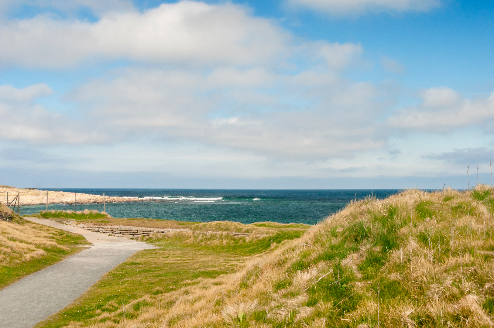
Although this loop is primarily an inland hill walk, the surrounding landscape is rich in coastal influence. On

Comments and Reviews
User comments, reviews and discussions about the Kiefea Hill, Knowes of Whirliegar and Brown Hill Loop, Scotland.
average rating out of 5
0 rating(s)