Download
Preview
Add to list
More
17.6 km
~5 hrs 12 min
1014 m
Loop
“A wild, loch-strewn circuit where remote beauty and rough ground make for a serious day.”
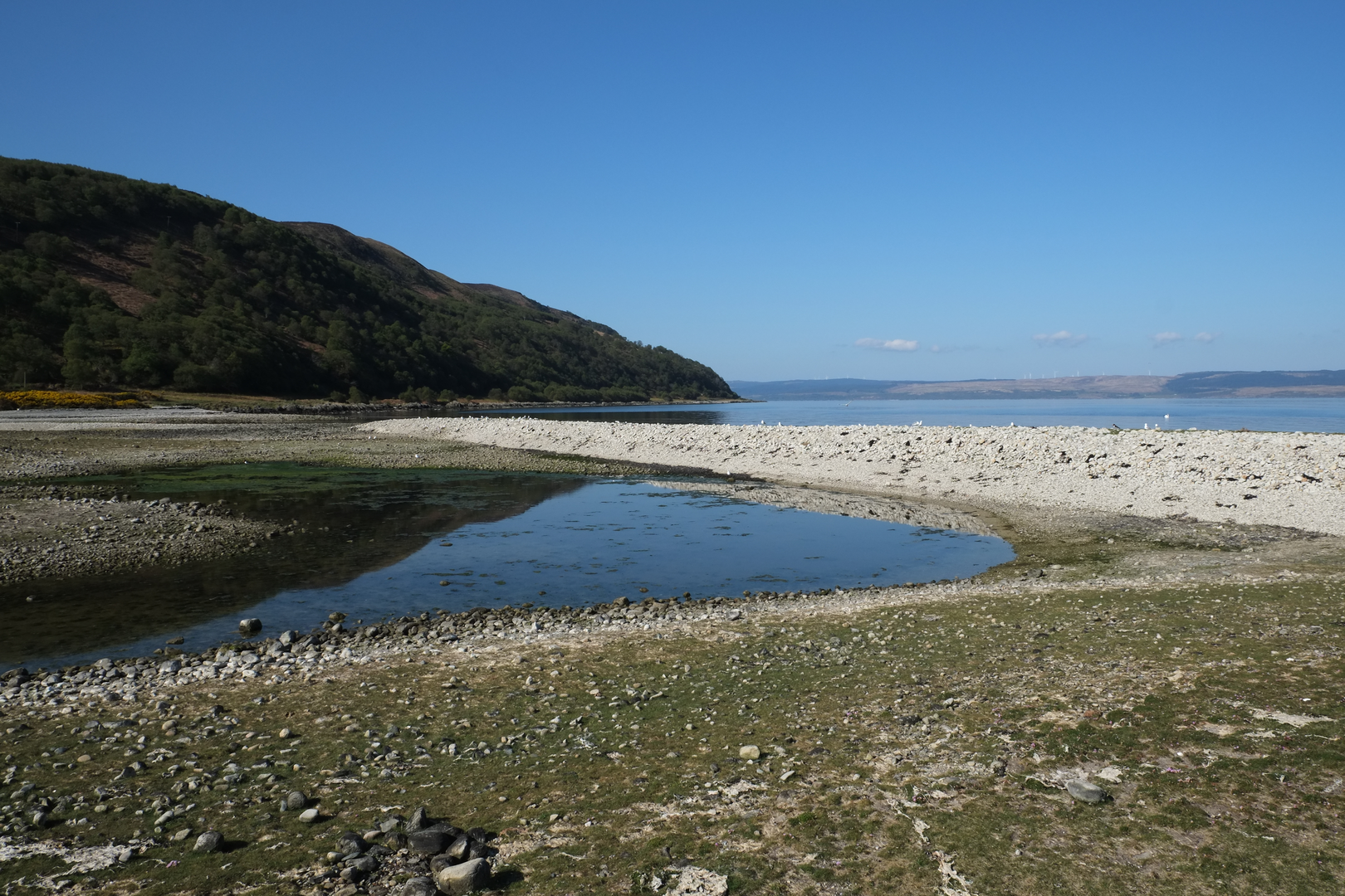
This is a serious mountain circuit in the Fisherfield and Kinlochewe area of Wester Ross, despite the estimated medium rating. At around 18 km / 11.2 miles with roughly 1,000 m / 3,280 ft of ascent, it has the feel of a much bigger day because of the remoteness, rough ground, wet sections, and the long stretches where progress can be slower than the map suggests. The route links open moorland, lochside terrain, steep mountain slopes, and a high summit environment, with Beinn Tarsuinn providing the main high point and the lochs below giving much of the character of the day. The nearest practical start is Incheril, near Kinlochewe, Ross-shire, IV22 2PA, using the small car park at the end of the minor road by Incheril, about 1 km / 0.6 miles from Kinlochewe itself. (walkhighlands.co.uk)
The opening section is usually the most straightforward underfoot. From Incheril, the route follows estate tracks past the Heights of Kinlochewe and into Gleann na Muice, where the walking is comparatively efficient and the landscape begins to open out. This early approach is important for pacing: it is the easiest place to settle into a rhythm before the terrain becomes rougher and more committing. Beyond the better track, the route grows more uneven and wetter, especially around the lochans and the approaches toward the larger waters below the mountain. Expect sections of peat, bog, and faint trods rather than a continuously obvious built path. (walkhighlands.co.uk)
What the route feels like on the ground
As the circuit develops, the scenery becomes increasingly wild. Small lochs and burns break up the moorland before the route reaches the more dramatic basin country around Dubh Loch and Loch Tanna, with the dark water, broken rock, and steep enclosing slopes giving the walk a distinctly remote Highland character. These lochs sit beneath the higher ground of Beinn Tarsuinn and its neighbouring ridges, and they often act as navigational handrails as the route turns from approach walking into mountain travel. In poor visibility, however, the same loch-and-burn terrain can become confusing because the ground is broad, pathless in places, and cut by multiple watercourses. Using HiiKER to track the line of travel is especially helpful here. (walkhighlands.co.uk)
The climb toward Beinn Tarsuinn is where the day becomes more demanding. The ascent is generally on open slopes and rough mountain ground rather than technical scrambling, but the effort builds quickly once the route leaves the easier glen approach behind. The mountain can appear broad and grassy from some angles, yet the summit area reveals much more dramatic architecture, including the striking western ridge and the unusual rock platform often compared to a “tennis court.” That feature is one of the most memorable landmarks in the area and helps distinguish Beinn Tarsuinn from many other large, rounded Highland hills. (walkhighlands.co.uk)
If your loop includes Meall nan Damh as a lower top or shoulder on the return, that section tends to feel quieter and less dramatic than the summit climb, but it adds variety by giving wider views back over the lochs and across the surrounding wilderness. The return can be deceptively tiring: even after the main ascent is done, there is still a long way to go over uneven ground before the estate track is regained. Fatigue, wet feet, and slower navigation are often bigger issues here than steepness alone. (walkhighlands.co.uk)
Landmarks, scenery, and wildlife
This route sits on the edge of one of Scotland’s most celebrated wild landscapes. **Beinn Tarsuinn

Surfaces
Unknown
Ground
Unpaved
Asphalt
Comments and Reviews
User comments, reviews and discussions about the Meall nan Damh, Dubh Loch, Loch Tanna and Beinn Tarsuinn Loop, Scotland.
average rating out of 5
0 rating(s)