Download
3D Preview
Add to list
More
17.9 km
~5 hrs 6 min
922 m
Loop
“From Glen Rosa’s quiet floor to Cir Mhor and Goatfell, this is a stirring, weather-wise mountain adventure.”
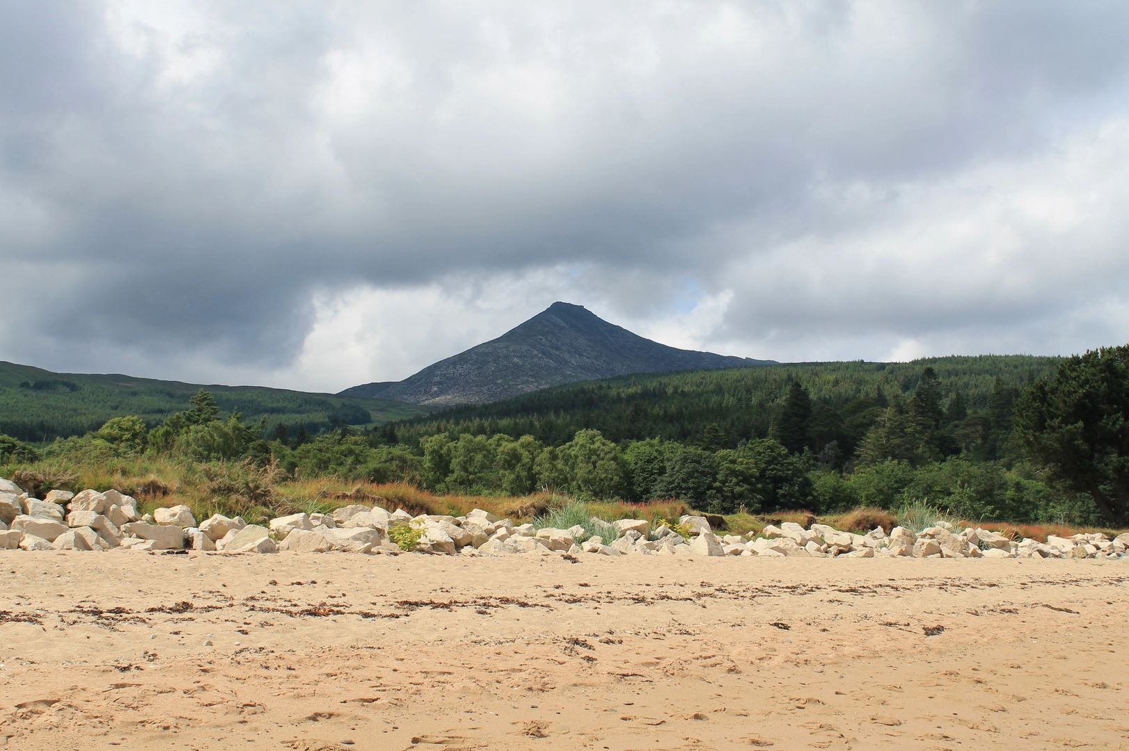
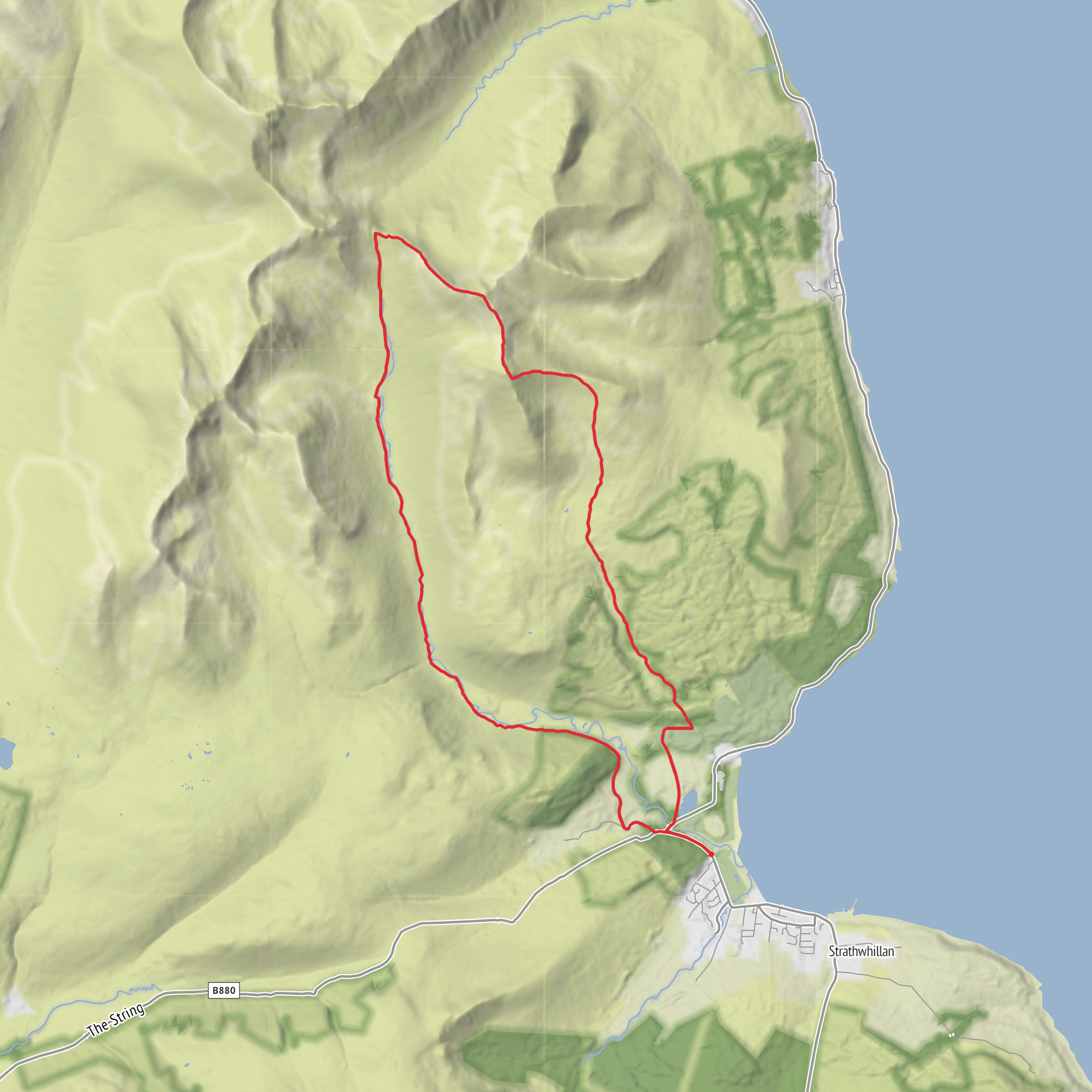
This is a big Arran mountain circuit that links the lower approach through Glen Rosa with two of the island’s best-known summits: Cir Mhor and Goatfell. At around 18 km / 11.2 miles with roughly 900 m / 2,950 ft of ascent, it sits beyond a casual valley walk and feels more like a full mountain day, even if the overall difficulty is often estimated as medium. The main reasons are the length, the sustained climbing, rougher upper-mountain terrain, and the need for good judgment if cloud, wind, or wet rock move in. The start is best understood as the Glen Rosa road end near Cladach and Brodick, with limited parking around Glen Rosa campsite and access also possible from the Cladach car park / Brodick Castle side. The nearest useful address for planning is Goatfell, Isle of Arran, North Ayrshire Council, KA27 8JB, and the practical landmark most walkers use is the Glen Rosa road end near Cladach, just outside Brodick. (nts.org.uk)
From the outset, expect a gentler opening than the statistics suggest. The route typically begins on lower tracks and paths leading into Glen Rosa, where the ground is easier underfoot and the scenery builds gradually. Early on, the glen gives broad views into Arran’s granite heart, with the valley floor relatively flat compared with the steep enclosing slopes. This lower section is a good place to settle into pace, check layers, and make sure navigation is loaded in HiiKER before the route commits to steeper mountain ground. Glen Rosa itself is a classic glaciated valley, with a pronounced U-shaped profile and visible moraine deposits left by ice that once filled the glen. (arran-geopark.org.uk)
Through Glen Rosa
The first several kilometres are usually the most straightforward. Depending on the exact line taken, you follow estate tracks, rough paths, and riverside sections deeper into the glen. The ascent here is modest, often only a few hundred metres gained over a long distance, but the terrain can still be wet and boggy in places, especially after rain. The river crossings and footbridges are important landmarks, and the views ahead become increasingly dramatic as Cir Mhor begins to dominate the skyline. The mountain is often described as one of Arran’s most striking peaks, separated from Goatfell by The Saddle, and it has a sharp, pyramidal form created by glacial erosion from several directions. (ayrshireandarran.com)
This middle approach is where the route’s character changes from scenic glen walk to mountain circuit. Once you leave the easier valley floor and begin climbing toward the higher ground, the path becomes steeper, rockier, and more exposed to weather. If visibility is poor, the transition points around the upper glen and the approach toward The Saddle deserve extra care. HiiKER is especially useful here for confirming junctions, contour lines, and the exact line of ascent and descent.
The climb to Cir Mhor and the high ground
Cir Mhor stands at about 799 m / 2,621 ft and is one of Arran’s four Corbetts. Although it is lower than Goatfell, many walkers find it the more dramatic summit. The climb toward it is where the route starts to feel serious: gradients steepen, the path can become loose or intermittent, and the mountain environment becomes much more committing than the lower glen suggests. In dry, calm weather, this section is a highlight; in mist or strong wind, it can feel very different. Expect slower progress than the map distance alone implies. (en.wikipedia.org)
From the higher ground, the surrounding peaks of North Arran come into view, with granite ridges, corries, and steep-sided slopes giving the area its rugged reputation. The Saddle, the col between Cir Mhor and Goatfell, is a key landmark on this loop. It marks the point where the route shifts from one major mountain objective to the next. Even though the total ascent is around 900 m / 2,950 ft, it can feel like more because the route includes a meaningful re-ascent after losing height between summits.
Goatfell and the descent
Goatfell, the highest point on Arran, rises to about 874–875 m / 2,867–2,871 ft. The summit is one of the best viewpoints in southwest Scotland on a clear day, with wide views over Arran, the Firth of Clyde, and, in good visibility, distant islands and mainland hills. The upper slopes are stony and exposed, and the final approach can be tiring late in the day
Surfaces
Unknown
Ground
Asphalt
Wood
Comments and Reviews
User comments, reviews and discussions about the Glenshurig Bridge, Glen Rosa, Cir Mhor and Goatfell Loop, Scotland.
average rating out of 5
0 rating(s)
