Download
Preview
Add to list
More
15.6 km
~3 hrs 38 min
315 m
Loop
“From mossy falls to lonely lochs, this Arran loop feels wild, varied, and quietly rewarding.”
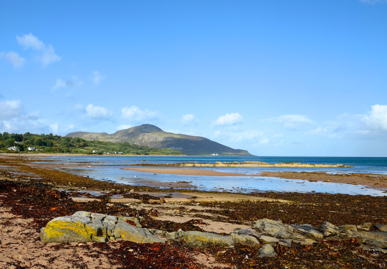
This medium-grade loop on the Isle of Arran links one of the island’s best-known woodland walks with quieter upland lochs and a more remote moorland feel. Over roughly 16 km / 10 miles, with about 300 m / 985 ft of ascent, it combines forest tracks, narrower hill paths, wet ground around the lochs, and open views across the east side of Arran toward Holy Isle and the Firth of Clyde. The route is long enough to feel like a full day out, but the climbing is fairly moderate by Arran standards, with the main challenge coming from underfoot conditions, route-finding on less-defined sections, and exposure to wind once you leave the shelter of the trees. Forestry and Land Scotland describes this part of Arran’s South End as a landscape of mixed woodland, waterfalls, prehistoric sites and a climb to lonely Urie Loch, which matches the character of this outing well. (forestryandland.gov.scot)
The walk is associated with the Glenashdale / Whiting Bay side of south-east Arran, and the nearest practical trailhead is the Glenashdale forest entrance near Ashdale Bridge, Whiting Bay, Isle of Arran, KA27 8PZ area, close to the signed access for Glenashdale Falls and the Giants’ Graves. If approaching from the Lamlash side, another useful landmark is Monamore Bridge on the B880 near Lamlash, which is commonly used for access toward Urie Loch. Because your hike details leave the trailhead blank, those are the two most relevant start-area landmarks for planning this loop. The Glenashdale entrance is the more natural base for a circuit that includes Glenashdale Wood and the archaeological sites above Whiting Bay. (alltrails.com)
By car, most visitors reach Arran by ferry to Brodick, then drive south on the A841 for Whiting Bay; from Brodick, island roads make the start straightforward to reach. By public transport, Arran’s bus network radiates from Brodick Pier, and VisitArran lists the 323 service as the route running south via Whiting Bay to Blackwaterfoot, while other routes connect Brodick with the rest of the island. That makes Whiting Bay one of the easier walking bases on Arran if you are not bringing a car. (visitarran.com)
What the route feels like
The opening section usually follows good paths or forest roads through Glenashdale Wood, where the gradient is steady rather than severe. Early on, the woodland gives the walk a sheltered, enclosed feel, with mixed trees, mossy banks, burns, and occasional openings that begin to reveal Whiting Bay below. This is the most straightforward part of the day and a good place to settle into the route before the terrain becomes rougher and more open. Forestry and Land Scotland highlights this area for mixed woodland and scenic trails, and it is one of the most accessible forest landscapes on Arran’s south-east side. (forestryandland.gov.scot)
A common highlight near the start is the detour to Glenashdale Falls, a dramatic double waterfall on the Glenashdale Burn. The falls are often described as among the finest on Arran, and the viewing platform gives a strong sense of the depth of the wooded gorge. If the weather has been wet, expect the burn to be louder and more impressive; after dry spells, the spectacle can be more subdued. Paths here can be damp, rooty, and slippery, especially where spray or runoff keeps the ground wet. (forestryandland.gov.scot)
From there, the route typically climbs higher through or above the forest toward the more open ground leading to Loch na Leirg and Urie Loch. This is where the walk changes character. The woodland gives way to rougher upland terrain, with peatier patches, less shelter, and broader views. Loch na Leirg sits in a quieter, more isolated setting, and the name has been recorded as meaning roughly “loch of

Surfaces
Unknown
Gravel
Ground
Asphalt
Wood
Comments and Reviews
User comments, reviews and discussions about the Glenashdale Wood, Loch na Leirg and The Uri Loop, Scotland.
average rating out of 5
0 rating(s)