Download
3D Flyover
Add to list
More
11.1 km
~3 hrs 8 min
544 m
Loop
“A compact Highland circuit blending boggy moor, airy tops, and dazzling Loch Maree panoramas.”
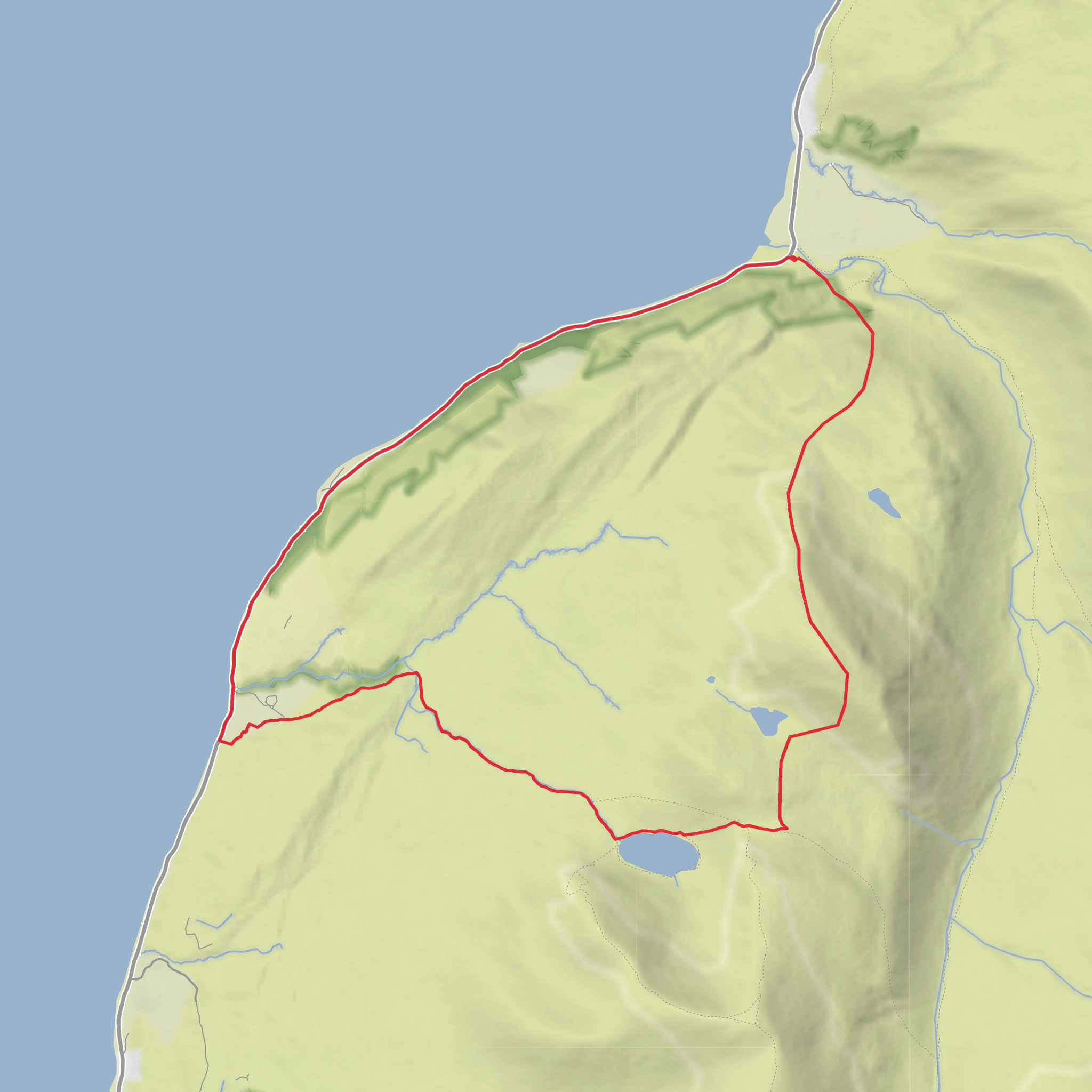
This 11 km (6.8 mile) loop in the Loch Maree area of Wester Ross is a compact but varied hill walk with around 600 m (about 1,970 ft) of ascent, combining rough upland ground, lochside scenery, smaller summits, and wide views over one of the most celebrated landscapes in the Northwest Highlands. The route is generally best understood as a moderately demanding circuit above and around Slattadale, near the Slattadale car park on the A832, west of Kinlochewe and east of Gairloch, which is the nearest clear access point and the most likely trailhead landmark for this walk. Slattadale sits on the north side of Loch Maree and is a recognised visitor access area with parking, picnic facilities, and seasonal toilets. (forestryandland.gov.scot)
The outing is rated medium, but that can feel conservative if the ground is wet, windy, or misty. Although the distance is not especially long, the ascent is steady enough to be felt, and the terrain is likely to include a mix of estate tracks, rough hill paths, heathery or boggy sections, and less distinct upland lines around the tops and corrie. In dry, settled weather it is a rewarding half-day to full-day hill walk; in poor visibility it becomes much more serious, especially on feature-poor moorland and broad shoulders where line-finding matters. For navigation, carrying the route on HiiKER is the most sensible way to keep track of junctions, contouring sections, and the return line toward Rubha Glas and Slattadale.
From the start near Slattadale, expect an initially gentler approach before the route begins to climb away from Loch Maree. Early on, the landscape is shaped by mixed forestry and regenerating native woodland, with openings that give increasingly good views across the water toward the Letterewe mountains. Forestry and Land Scotland notes that Slattadale has pockets of ancient oak and birch woodland, while the islands in Loch Maree preserve remnants of ancient Caledonian pinewood. (forestryandland.gov.scot)
Terrain and ascent
The climb toward Creagan nan Gobhar and Meall nan Damh is where the walk starts to feel more like a true hill circuit. The ascent is not alpine in character, but it is enough to raise the heart rate, with roughly 600 m of gain spread across the route rather than concentrated in one short pull. On the way up, the ground is likely to alternate between firmer trods and rougher, springy moorland. After rain, peat can hold water and make progress slower than the map suggests. Gaiters are often useful here, and waterproof footwear is strongly recommended.
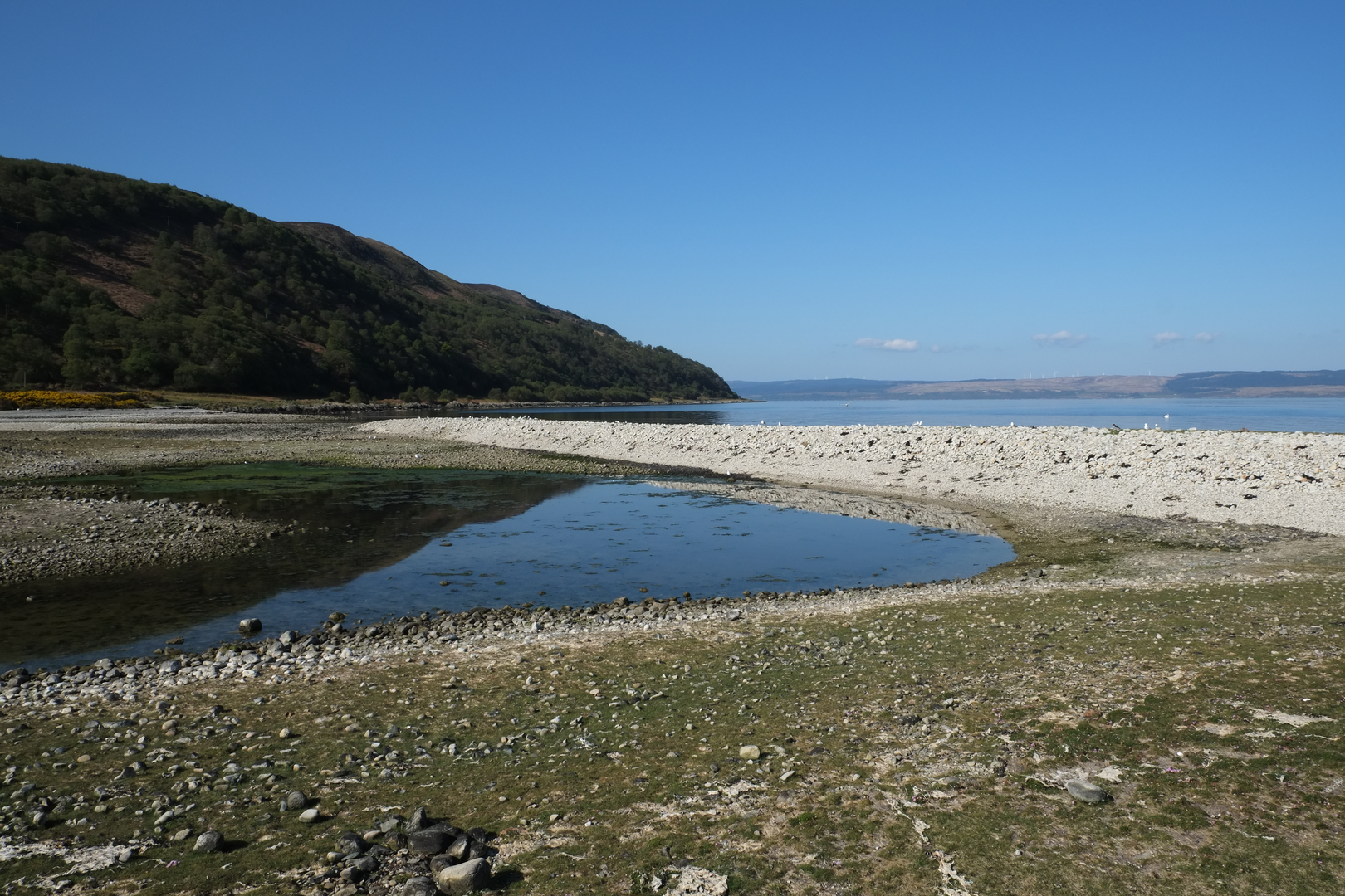
As height is gained, the views open dramatically over Loch Maree, a loch about 20 km (12.4 miles) long and famous for its wooded islands and mountain backdrop. The sense of space is one of the defining features of this walk: long ridges, broken rock outcrops, and a broad sweep of water below, with Slioch and the surrounding Torridon hills often dominating the skyline when conditions are clear. Loch Maree is widely recognised for both its scenic and ecological importance, and the islands form part of the Beinn Eighe and Loch Maree Islands National Nature Reserve. (nature.scot)
The tops themselves are not especially high by Highland standards, but they are excellent viewpoints. Creagan nan Gobhar tends to feel like a transitional high point, while Meall nan Damh gives the walk a more open, hilltop character. Wind exposure can be significant here even on otherwise calm days lower down, so an extra insulating layer is worth carrying year-round.
Coire Fhionn Lochan and the character of the middle section
The section around Coire Fhionn Lochan adds a different mood to the route. A corrie setting usually brings a more enclosed feel
Surfaces
Unknown
Unpaved
Comments and Reviews
User comments, reviews and discussions about the Creagan nan Gobhar, Meall nan Damh, Coire Fhionn Lochan and Rubha Glas Loop, Scotland.
average rating out of 5
0 rating(s)
