Download
3D Flyover
Add to list
More
10.8 km
~2 hrs 40 min
310 m
Loop
“Moorland paths and wide Arran views lead to a haunting hilltop earthwork steeped in prehistory.”
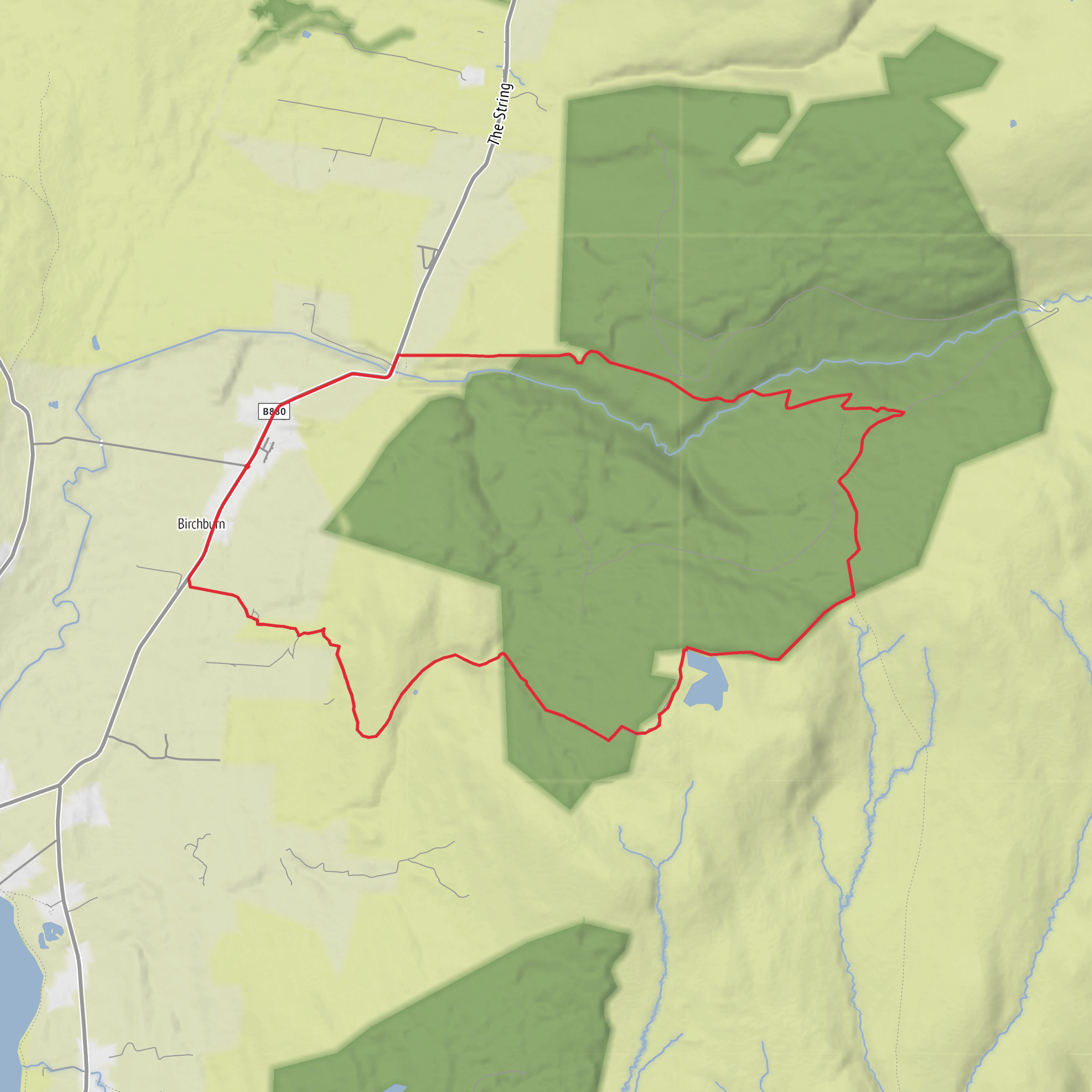
This medium-grade loop of about 11 km / 6.8 mi with roughly 300 m / 985 ft of ascent explores the west side of the Isle of Arran around Shiskine and Blackwaterfoot, linking open hillside, moorland textures, broad views, and one of the area’s most intriguing prehistoric earthworks. The route is best approached as a half-day outing: long enough to feel like a proper hill walk, but without the sustained steepness of Arran’s bigger mountain days. Expect a mix of grassy tracks, rougher hill paths, uneven moorland ground, and potentially wet sections after rain, with the climbing spread out rather than concentrated in one punishing pull. HiiKER is the best tool to use for checking the line of the loop and staying on course where paths become faint or split across open ground. (peakvisor.com)
The setting is the Shiskine area on Arran’s west side, with the nearest practical base and landmark being Blackwaterfoot, KA27 8ET, and the wider approach often associated with Shiskine Valley and the road network leading toward Machrie. Cnoc Ballygown itself lies near Shiskine at approximately NR92022911, and is identified as a prominent hilltop enclosure site above the surrounding farmland and moor. (trove.scot)
What the walk feels like
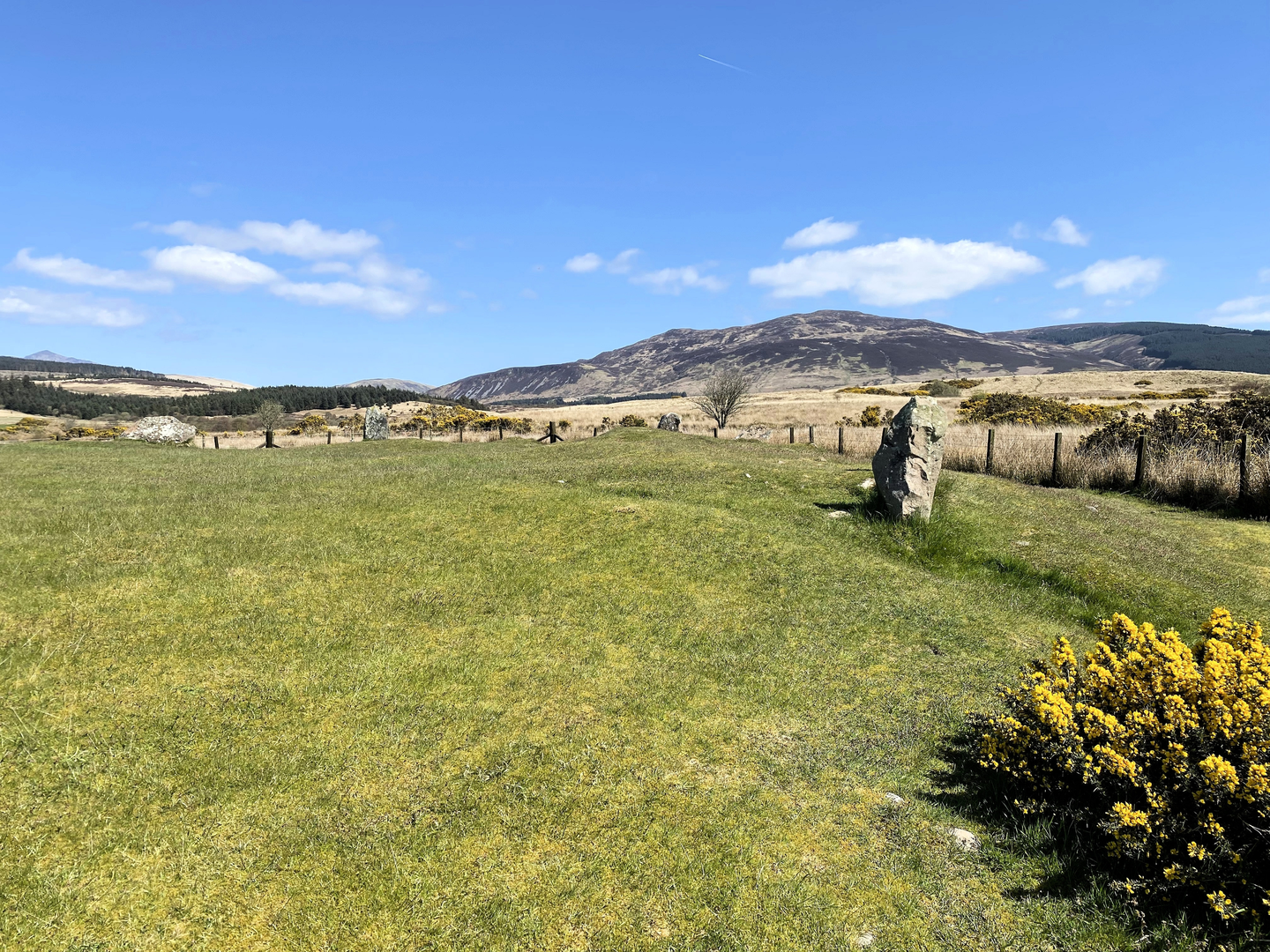
From the outset, this is a route of changing textures rather than one single dramatic feature. Lower down, the landscape has the softer, pastoral character typical of west Arran, but as you gain height the terrain opens into rougher hill country with wider sightlines over the Shiskine side of the island. The total ascent of around 300 m / 985 ft is enough to make the route feel earned, especially if the ground is wet or the wind is up, but it remains within the reach of regular walkers with decent fitness. A typical moving time for a route of this length and ascent would often fall somewhere around 3.5 to 5 hours depending on conditions, stops, and how much time you spend around the archaeological features. That estimate is an inference based on the route’s distance, elevation, and medium grading rather than a published official time. (hiiker.app)
The climb toward Cnoc an Loch and onward to Cnoc Ballygown is where the walk becomes most rewarding. As the ground rises, views begin to widen across the west coast of Arran, with the surrounding ridges and moorland giving the route a more remote feel than the modest statistics might suggest. In poor visibility, however, that same openness can make navigation less obvious, particularly where trods fade into grass or heather. This is one of those walks where a clear day makes the route feel straightforward and scenic, while mist, wind, or saturated ground can quickly raise the seriousness. (visitarran.com)
Landmarks and historical interest
The standout historical feature is Cnoc Ballygown, described in the archaeological record as an unfinished fort enclosing an oval area of about six acres on the summit, visible as a weak bank and ditch. Another source describes the hilltop as ringed by a low earthwork and notes that it has often been regarded as a fort, probably thought to be Iron Age, though interpretation has varied. Whatever its exact date, it gives the walk a strong sense of time depth and makes the high ground feel like more than just a viewpoint. (trove.scot)
This part of Arran is especially rich in prehistoric remains. The wider Shiskine and Machrie area is known for major archaeological sites including the Machrie Moor stone circles, one of Arran’s best-known heritage landscapes, and VisitArran highlights Machrie’s standing stones as among the island’s most famous walking destinations. That broader context matters on this loop: even when you are not standing beside a monument, you are moving through a landscape shaped by very
Surfaces
Unknown
Asphalt
Comments and Reviews
User comments, reviews and discussions about the Cnoc an Loch and Cnoc Ballygown Cairn Fort Loop, Scotland.
average rating out of 5
0 rating(s)
