Download
3D Flyover
Add to list
More
14.2 km
~3 hrs 18 min
282 m
Loop
“A windswept Arran loop of heather, cairns, and quiet ridges rewards confident walkers with wild feeling.”
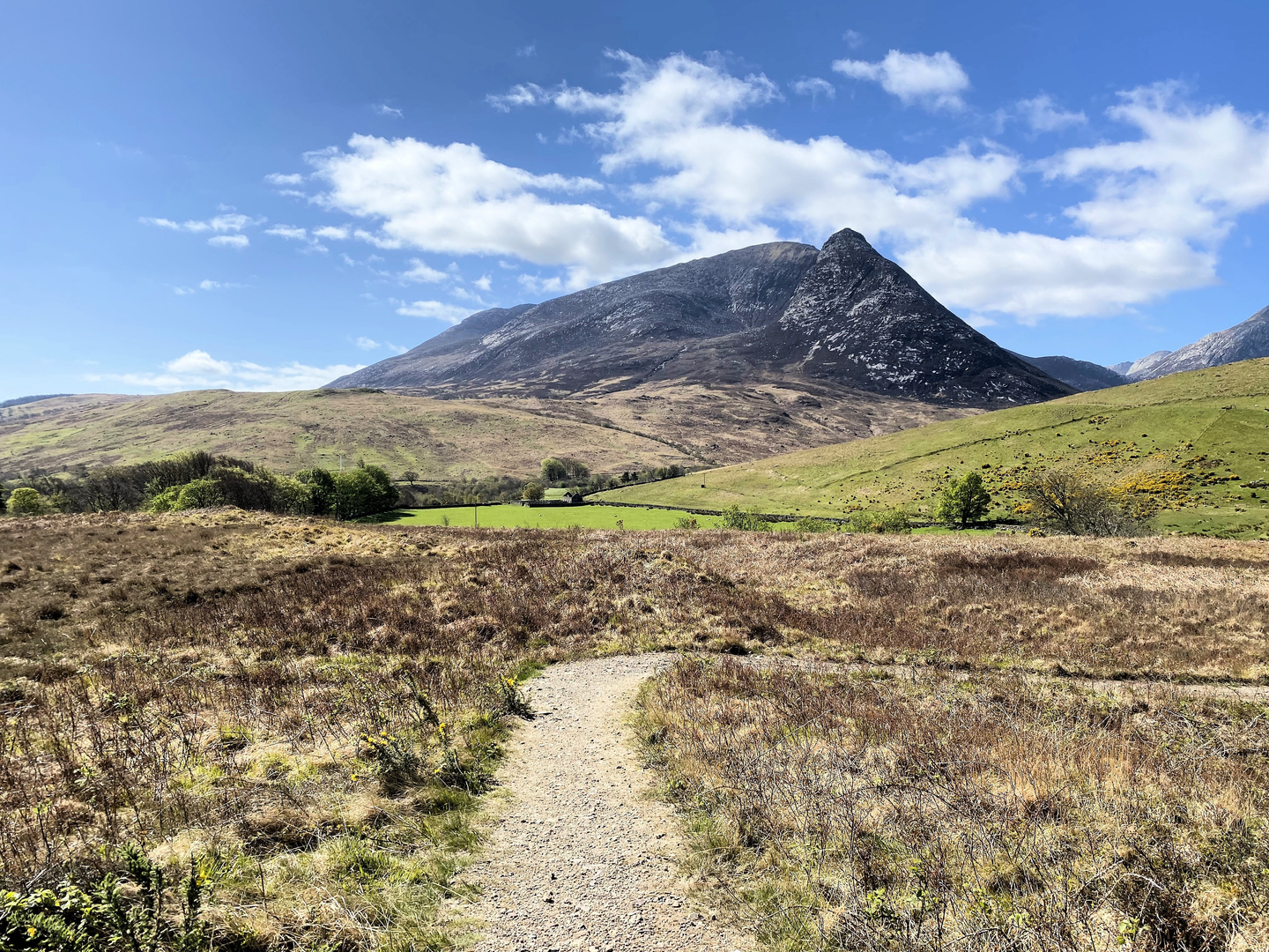
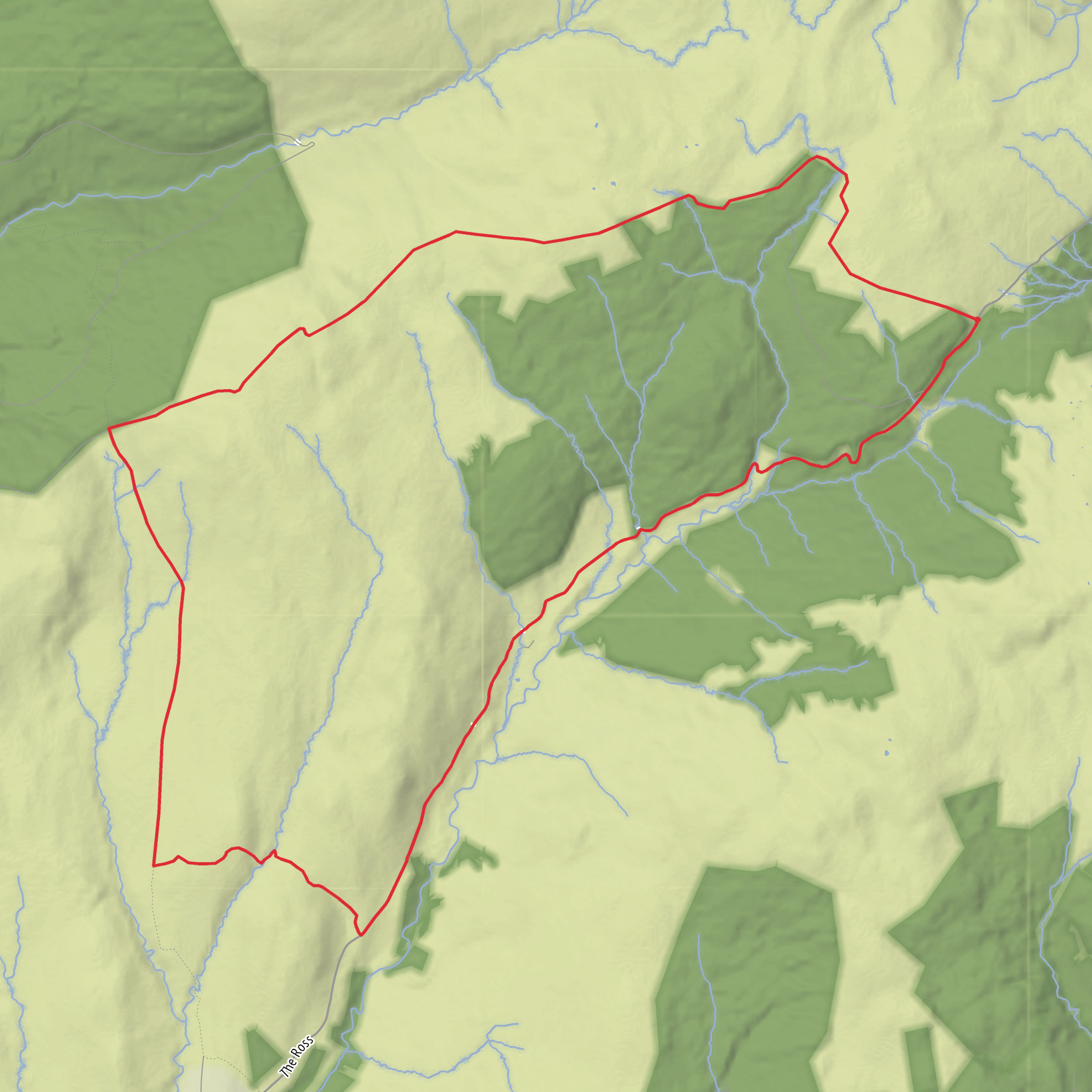
This medium-difficulty loop on the south side of the Isle of Arran links Burican Hill, Cnoc Shieveina, and Cnoc a’ Chapuill in a compact but rewarding circuit of about 14 km / 8.7 miles, with roughly 300 m / 985 ft of ascent. The terrain is typical of Arran’s quieter southern hills: grassy and heathery slopes, sections of rough hill path or trod, wetter ground in places, and broad open ridgelines where the walking feels remote despite the relatively modest elevations. Burican Hill rises to about 210 m / 689 ft, Cnoc Shieveina to about 399 m / 1,309 ft, and Cnoc a’ Chapuill to about 418 m / 1,371 ft. (peakvisor.com)
The start is best described as being near Sliddery Water on the Ross Road, close to Sliddery on the southwest side of Arran, rather than at a formal village-center trailhead. Burican Hill itself sits just inland of Sliddery Water at approximately 55.489925, -5.24658, and nearby heritage records place features at Burican Hill and Sliddery Water in the same immediate area, confirming this as the most useful landmark zone for access. (peakvisor.com)
Expect the outing to begin gently, with the first section gaining height over lower ground around Burican Hill. This opening part is often the easiest underfoot, but it can still be uneven and damp after rain. The climb is not especially steep by Arran standards, yet the route becomes more serious once it leaves the lower hill and trends toward the higher tops. As the loop progresses, the ground typically grows rougher and more exposed, with peatier patches and less distinct lines across open moorland. In poor visibility, the broad shoulders between the summits can feel confusing, so careful navigation is important and carrying the route on HiiKER is a sensible precaution.
What the route feels like on the ground
From Burican Hill, the route builds gradually toward the more substantial middle section around Cnoc Shieveina. This is where the walk starts to deliver the best sense of space, with widening views over south Arran, the coast, and the inland folds of the island. Cnoc Shieveina is marked by a cairn and stands about 1.4 km / 0.9 miles from Cnoc a’ Chapuill as the crow flies, so the two higher tops form a natural paired objective on the loop. (mudandroutes.com)
The traverse onward to Cnoc a’ Chapuill is likely to be the most memorable part of the day. Although neither summit is especially high, both sit in a rugged cluster of lesser Arran hills that can feel wild when the weather closes in. The ascent and descent between them are not huge, but the repeated undulations add effort beyond what the raw elevation gain suggests. Hikers should be prepared for soft ground, hidden holes in tussocky sections, and the possibility of slippery grass on
Surfaces
Unknown
Asphalt
Comments and Reviews
User comments, reviews and discussions about the Burican Hill, Cnoc Shieveina and Cnoc a' Chapuill Loop, Scotland.
average rating out of 5
0 rating(s)
