Download
3D Flyover
Add to list
More
11.5 km
~3 hrs 13 min
555 m
Loop
“A rugged Mull loop weaving sea lochs, basalt heights, and Atlantic grandeur in a rewarding day.”
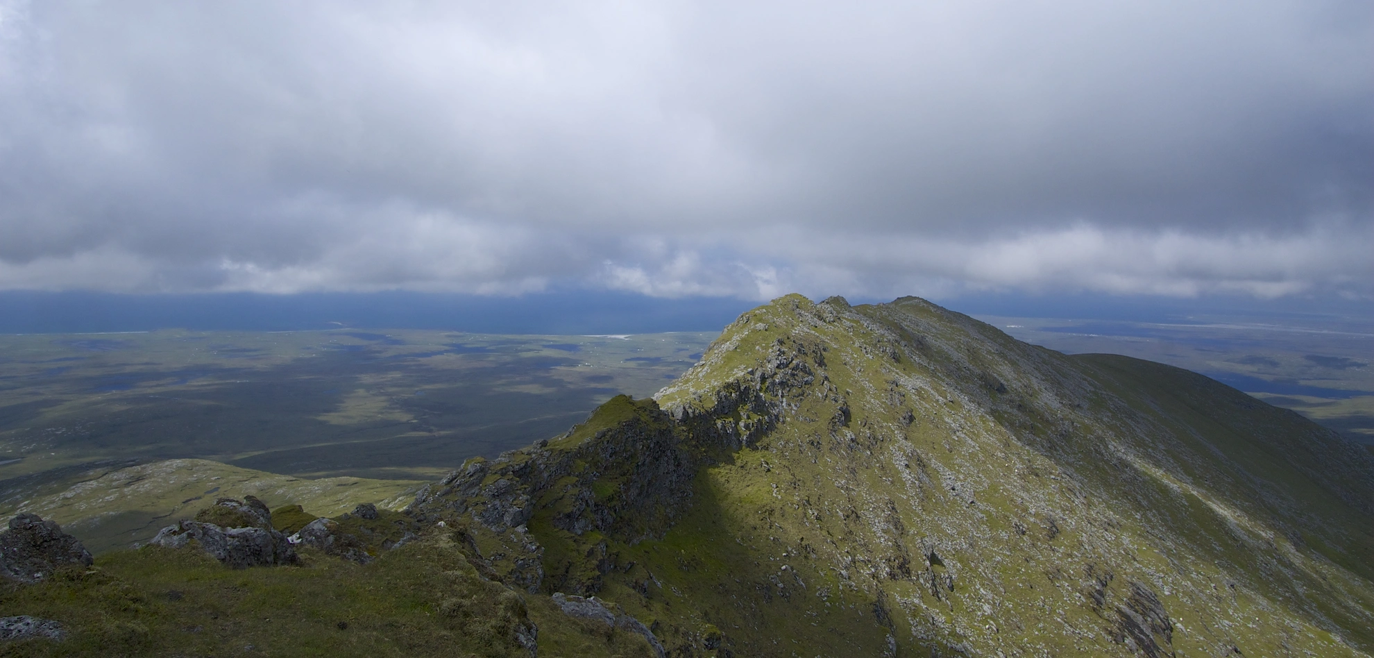
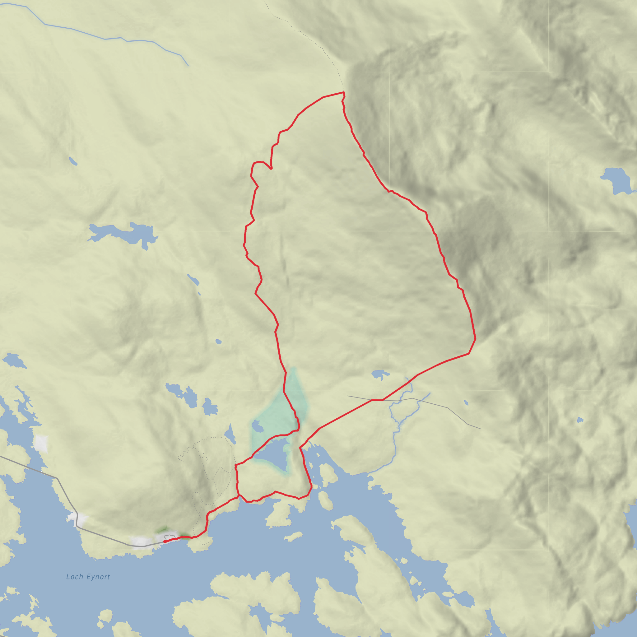
This 11 km / 6.8 mile loop on the Isle of Mull packs a lot into a relatively short day: a sea-level start beside Loch na Keal, a steady climb past rough grazing and burns, a high traverse over Beinn Mhòr and Buail a’ Ghoill, and a return by the quieter ground around Bagh Lathach. With around 600 m / 1,970 ft of ascent, it sits well in the medium category, but the terrain can make it feel harder than the numbers suggest, especially in wet or windy conditions. The route lies in the Loch na Keal National Scenic Area, a landscape shaped by ancient lava flows, steep basalt terraces, sea lochs, and broad Atlantic views. (nature.scot)
The hikehead is best described as the roadside parking area on the B8035 opposite the turning for Dhiseig, near the shore of Loch na Keal, west of Knock, Isle of Mull. That is the most widely used access point for walks onto Ben More from this side of the mountain, and it corresponds to the nearest clear landmark for the start area. Walkhighlands identifies this start as parking on the grass verge on the shore side of the B8035 opposite the Dhiseig turning, just east of a bridge. (walkhighlands.co.uk)
Getting there by car usually means first reaching Mull by ferry. The main crossing is Oban to Craignure, and CalMac lists Craignure as the island’s main port, with onward road, bus, taxi, and car connections. From Craignure, drive west and northwest across Mull toward Loch na Keal and the B8035 approach for Ben More. There is also the Lochaline to Fishnish crossing, which can be useful if approaching from the Morvern side. Check ferry status and timetables before travel, as CalMac notes that sailings are subject to change. Also check the road situation on the B8035, because Argyll and Bute Council has published closures and diversions affecting that road in recent periods. (calmac.co.uk)
Public transport is possible to Mull, but access to the actual trailhead is limited. Buses do run on the island: Argyll and Bute Council lists the 95/495 Craignure–Tobermory service, operated by West Coast Motors, and West Coast Motors shows multiple departures from Craignure Ferry Terminal on current timetables. However, the direct Ben More / Dhiseig start does not have a dedicated trailhead bus service, and Walkhighlands specifically notes no public transport to the start for the standard west-side Ben More access. In practice, hikers using public transport usually combine ferry travel with an island bus as far as feasible, then arrange a taxi or a longer road walk if needed. (argyll-bute.gov.uk)
Terrain and what the day feels like
Expect a mix of grassy track, worn hill
Comments and Reviews
User comments, reviews and discussions about the Loch nam Faoileann, Beinn Mhor, Buail a' Ghoill and Bagh Lathach Loop, Scotland.
average rating out of 5
0 rating(s)
