
Download
3D Flyover
Add to list
More
5.1 km
~1 hrs 7 min
62 m
Out and Back
“Wandering from crofting ruins to Mol Mor, this shoreline ramble feels gentle yet wonderfully wild.”
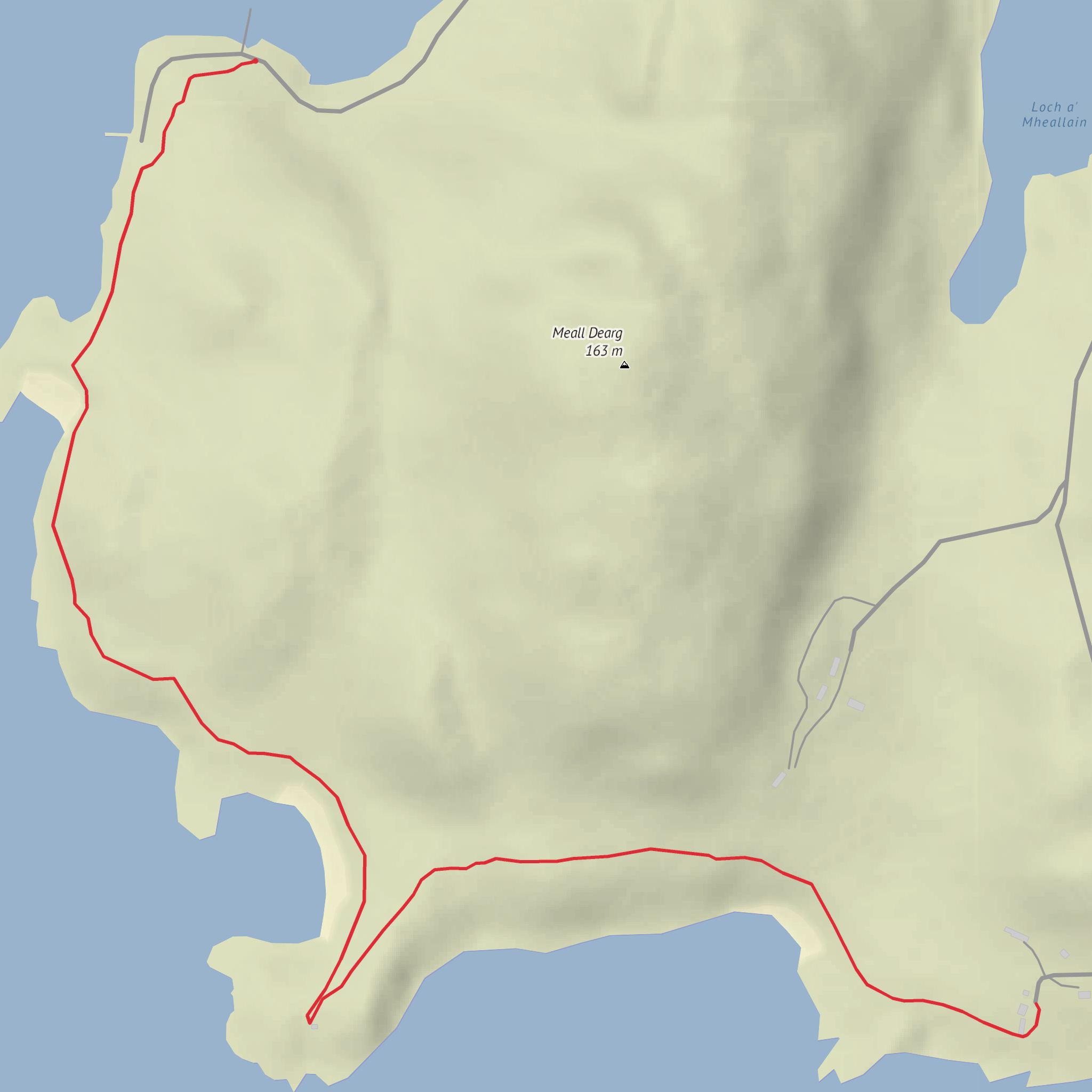
This short coastal walk links the scattered crofting remains at Old Dornie with the Mol Mor cairn and nearby Dornie, covering about 5 km / 3.1 miles with only around 100 m / 330 ft of ascent, so it is best thought of as an easy outing with a strong sense of place rather than a strenuous hill day. The terrain is generally gentle, but the character of the route comes from rough ground, old tracks, grassy margins, and exposed shoreline rather than from steep climbing. Old Dornie lies on the Coigach peninsula in the northwest Highlands, west of Achiltibuie and reached by a narrow single-track road off the A835 corridor toward Ullapool. Historic records place Old Dornie at grid reference NB 9834 1153, and Mol Mor cairn at NB 9835 1022, confirming how close the two are and how naturally they combine into a compact walk. (trove.scot)
The start is best described as near Old Dornie, Achiltibuie, Ullapool, Highland, Scotland, close to the small jetties and harbour area just beyond the settlement. A useful landmark for drivers is the harbour at Old Dornie on the minor coastal loop road west of Achiltibuie; one field note for Mol Mor specifically mentions parking by the jetties at about NB 9952 1077, just past Old Dornie. (themodernantiquarian.com)
By car, the usual approach is from Ullapool, following the A835 north briefly before turning onto the B869 toward Achiltibuie and continuing on the single-track coastal road toward Old Dornie. Expect passing places, slow progress, and frequent photo stops because the road itself is part of the experience. Public transport is much more limited: the practical option is usually a bus from Ullapool toward Achiltibuie, followed by a long onward walk, local taxi, or careful pre-arranged transfer, since Old Dornie itself is not a major transport hub and the far western loop is lightly served if at all. Because rural timetables can be sparse and seasonal, it is wise to confirm current connections before setting out. (undiscoveredscotland.co.uk)
What the walk is like
From Old Dornie, the route trends south toward Mol Mor, staying close to the coast and low ground. The first section is usually the easiest underfoot, with only slight undulations as you leave the old settlement area behind. Over the first 1 to 1.5 km / 0.6 to 0.9 miles, elevation gain is minimal, and the walking is more about line choice than effort. If the ground is wet, expect boggy patches and soft turf, especially where faint paths fade into open moorland.
At roughly 2 km / 1.2 miles in, the route begins to feel more archaeological and more open. Mol Mor itself is a cairn site on a low rise above the coast, and reaching it accounts for most of the day’s climbing. The ascent is modest, but the final approach can be uneven, with heather, stones, and short rough grass underfoot. The cairn is described as somewhat worn, which fits the feel of many exposed prehistoric sites in this part of the Highlands, but the setting is the real reward: sea views, broken coastline, and the sense of standing at a point that has drawn people for a very long time. (themodernantiquarian.com)
If the route continues onward to Dornie rather than simply returning from Mol Mor, the second half remains easy in terms of gradient, but hikers should not mistake “easy” for “fully waymarked.” This is a place where paths can be intermittent, livestock tracks can be misleading, and visibility can change quickly in mist or rain. For navigation, carrying the route in HiiKER is the most sensible way to stay confident on the ground.
Landmarks, history
Comments and Reviews
User comments, reviews and discussions about the Old Dorni to Dornia via Mol Mor, Scotland.
average rating out of 5
0 rating(s)

